THE LAURELS PICNIC AREA PAVILIONS, TENNESSEE Campground Reservation, Info, Images, Map, Directions

THE LAURELS PICNIC AREA PAVILIONS, Tennessee Campground Images, Info & Reservations

Listen

Directions

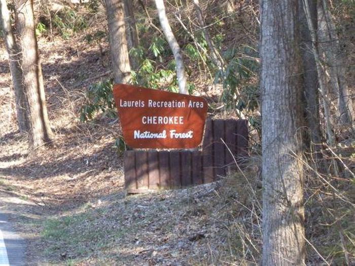
The Laurels is located on TN Hwy 361 near Sciota Road in Carter County.

From Johnson City, take I-26 E to Okalona exit. Turn left, drive under I-26 to TN 359. Turn right onto TN 359. Travel 1.4 miles, then turn right onto TN 361 for 3.7 miles to The Laurels. 

Phone

423-735-1500

Activities

HIKING, WILDLIFE VIEWING, WATER ACCESS

Keywords

THE LAURELS PICNIC AREA PAVILIONS

Related Link(s)

Rec Area Info & Images

Overview

The Laurels Picnic Area Pavilions will close for the season on Monday, October 14, 2019. The Laurels has been a popular area since the early days in East Tennessee. It was a common evening stopover for farmers from North Carolina taking produce to markets in Johnson City. The site is named for the native Rhododendron that thrives in the area, locally called “laurel.” The Civilian Conservation Corps helped construct the current facilities in the early 1930’s. Today, it is a popular day-use area, providing a nice shady place for family picnics and group gatherings.  

Recreation

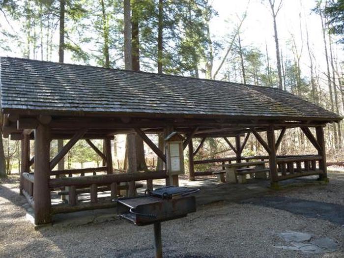
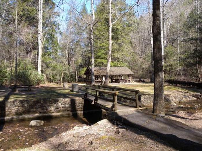
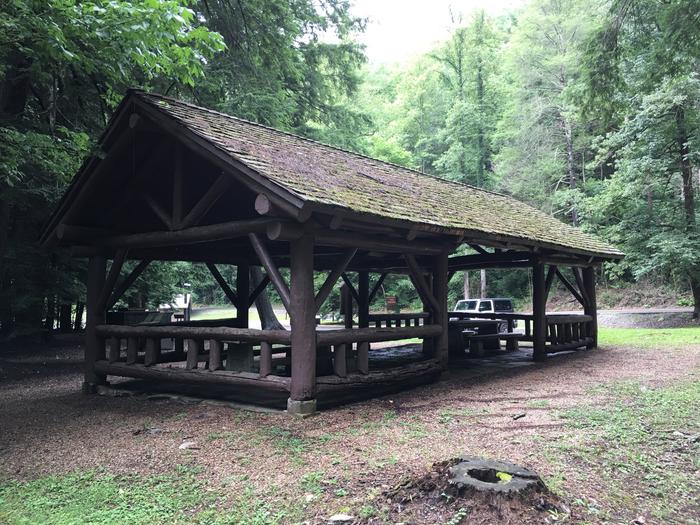
The Laurels has two pavilions, each with picnic tables and grills. An old foot path meanders through the nearby woods.

Facilities

The Laurels includes two picnic pavilions, numerous tables connected by paths and trash cans. There are vault toilets on site. There is no potable water.

Natural Features

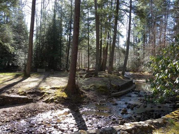
Honeycomb Creek flows through the picnic area and is enjoyed by kids of all ages on warm summer days.

Reservation

More from CampingHiking.net:

WHITETAIL CAMPGROUND, Arizona Campground Images, Info & Reservations

Listen Directions From Tucson, Arizona, go north on Catalina Highway approximately 30 miles from Tucson until you reach Milepost 20. Turn Left on Whitetail Road. Phone 520-576-9198 Activities CAMPING, HIKING Keywords WHTE,WHITE TAIL,WHITE TRAIL,WHITETAIL,WHITE TALE,CORONADO NF – FS Related Link(s) Rec Area Info & Images Forest Service Concessionaire Arizona State

Bedal Campground, Washington Campground Images, Info & Reservations

Listen Directions From Darrington, Washington, travel 16 miles southeast on the graveled single lane section of the Mt. Loop Scenic Byway. The campground is located on the west side of the road at mile post 37, just beyond the junction of Mt. Loop and Forest Road 49. Phone 360-804-1103 Activities

DEVILS ELBOW CABIN, Alaska Campground Images, Info & Reservations

Listen Directions Access is by boat (66 miles from Petersburg or 26 miles from Kake) or float plane (44 miles from Petersburg). A 16-foot tide is required for direct float plane access to the cabin. Arrival at lower tides will require a half-mile walk on the tide flat. Refer to