
Directions
From Greeneville, TN take TN 70 south about 10 miles. Turn right onto TN 107 west, travel nine miles. Houston Valley is located on the left. From Newport, TN, travel on US25/70 south, turn left onto TN 107 east and travel five miles to Houston Valley. It will be located on the right.
Phone
(423) 638-4109
Activities
CAMPING, HIKING, HORSEBACK RIDING, PICNICKING, WILDLIFE VIEWING, DAY USE AREA, MOUNTAIN BIKING, STAR GAZING, SCENIC DRIVE, LOOKOUT TOWER
Keywords
Related Link(s)
Overview
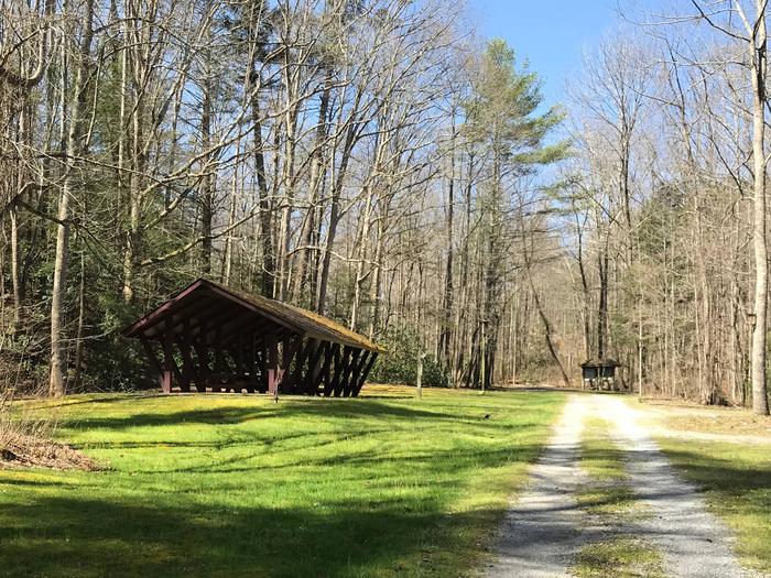
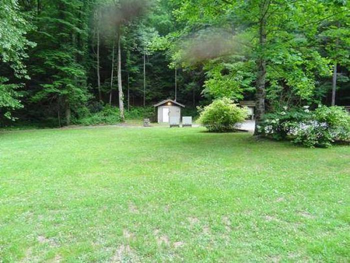
Houston Valley Recreation Area (elevation 1,800 feet) is centrally located to both Paint Creek and Weaver Bend. It is located directly off Tennessee (TN) Scenic Highway 107.
Recreation
Equestrian trails and hiking trails are located close to the recreation area. An open grass area is available for games.
Facilities
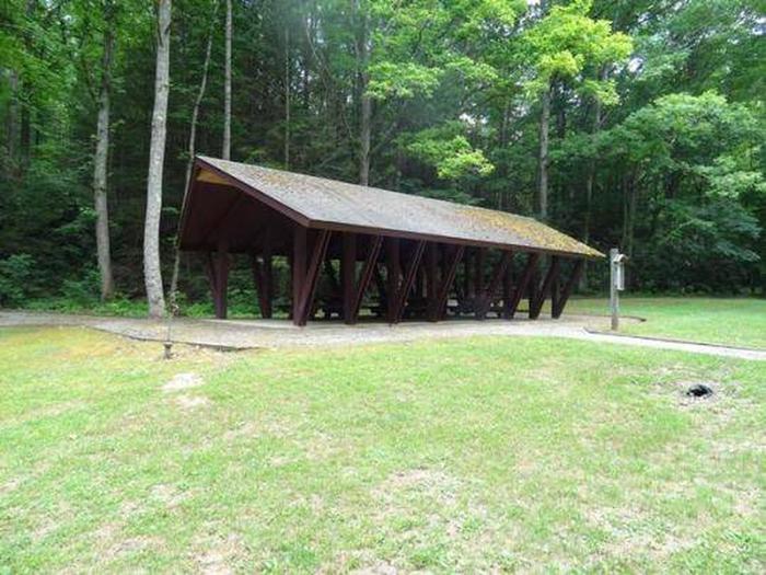
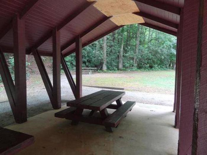
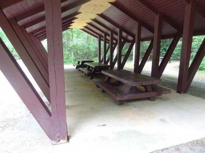
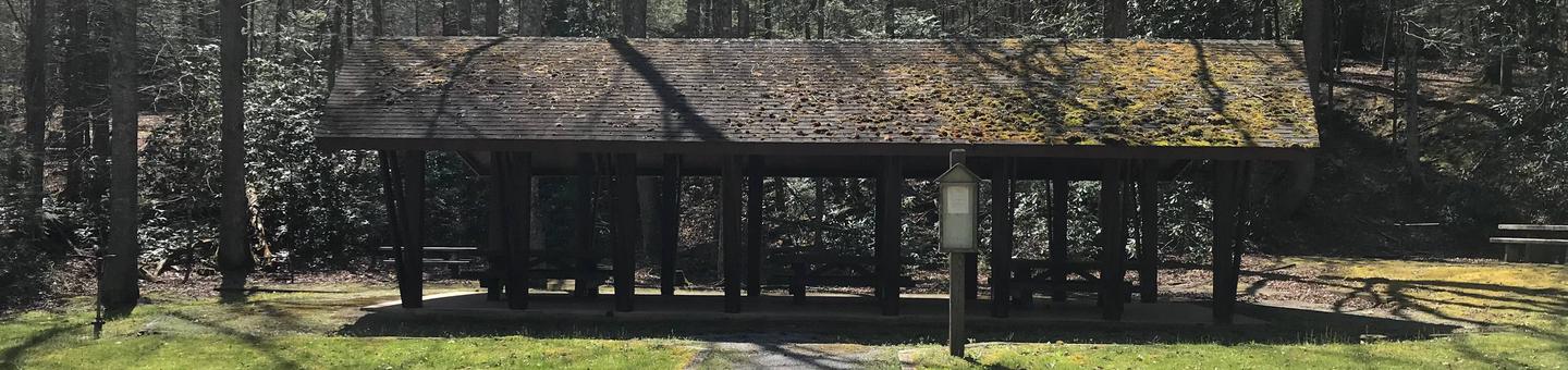
Houston Valley Recreation Area has eight picnic sites and two group picnic areas in addition to the pavilion. A green-space restroom and trash cans are located a short distance from the pavilion. The pavilion itself contains three large picnic tables and is located adjacent to two single tables with grills.
Natural Features
The recreation area is nestled along the edge of a hardwood forest. Fall colors are spectacular along this stretch of TN Scenic Highway 107.
Nearby Attractions
Meadow Creek, a Fire Tower that has recently been renovated as a lookout platform, is a short drive or hike away. Burnette Gap Trailhead is a short distance away. Bubbling Springs Rifle Range is located off TN Scenic Highway 107. Another scenic drive along Brush Creek Road (#209) leads to Weaver Bend and Allen Branch Pond. An accessible .2 mile trail rings Allen Branch Pond and Weaver Bend Road (#209C) parallels the French Broad River.