
Directions
From Leadville, Colorado, drive south 15 miles on Highway 24, turn right on Highway 82 and travel 4 miles to Lake County Road 24. Turn right on Lake County Road 24, and go 1 mile north to the Lakeview Campground on the left.
Phone
719-486-0749 (FOR INFORMATION ONLY, NO RESERVATIONS)
Activities
BOATING, HISTORIC & CULTURAL SITE, CAMPING, FISHING, HIKING, SWIMMING SITE
Keywords
LAV1,TWIN LAKES,INDEPENDENCE HIGHWAY,LAKEVIEW PIKE SAN ISABEL,PIKE AND SAN ISABEL NF- FS,LAKE VIEW PIKE
Related Link(s)
Colorado State Road Conditions
Overview
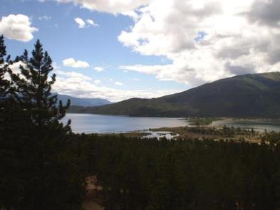
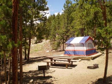
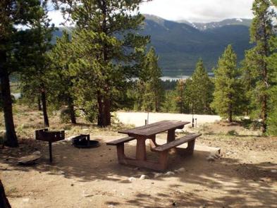
Lakeview Campground, with wonderful views of the Twin Lakes Reservoir, offers a large space with options for tent, RV and group camping. Located about 29 miles north of Buena Vista, Colorado, the campground attracts plenty of hikers looking to explore nearby nature and backpacking trails in the Mount Massive Wilderness. Boating and fishing enthusiasts spend their days at the Twin Lakes Reservoir and Mt. Elbert Forebay.
Recreation
The Continental Divide Trail, which runs from Canada to Mexico, is a non-motorized trail that passes Lakeview Campground. Mountain bikes are allowed in the section from Halfmoon Road south to Twin Lakes. Approximately 300 miles of the trail goes through Colorado.
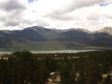
South of the campground lies Twin Lakes, Colorado’s largest natural glacier lakes. Sailing and water skiing are among the popular activities here. Fishing includes lake, rainbow and mackinaw trout.
Facilities
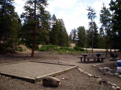
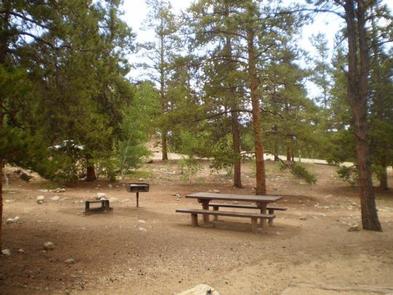
Campsites have limited understory, but most are widely separated from other sites. Amenities include vault toilets, drinking water, picnic tables, campfire rings and pedestal grills. Firewood may be purchased onsite.
Natural Features
Lakeview is situated in a ponderosa pine and sage habitat at an elevation of 9,500 feet. The site is between Mt. Elbert Forebay and Twin Lakes. The Twin Lakes Reservoir spans 2,805 acres and Mount Elbert stands tall at 14,433 feet. To the north is the Mount Massive Wilderness area, 30,540 acres encompassing Mount Massive, Colorados second highest peak at 14,421 feet. To the south is the Collegiate Peaks Wilderness with 8 peaks over 14,000 ft high. Much of the wilderness is above timberline with many alpine plant communities and permanent snowfields.
Nearby Attractions
The Top of the Rockies Scenic Byway leads to Independence Pass, one of the highest paved passes in Colorado. The historic mining town, Leadville, is a half hour away.