SAM OWEN, ID Campground Reservation, Info, Images, Map, Directions

SAM OWEN, Idaho Campground Images, Info & Reservations

Listen

Directions

From Sandpoint, take State Highway 200 east 21 miles. Turn right on Peninsula Road (County Road 1028) and continue 1 mile to the recreation area.

Phone

435-245-6521

Activities

BOATING, CAMPING, DAY USE AREA, SWIMMING SITE

Keywords

SAMO,LAKE PEND ORELLIE,SANDPOINT,IDAHO,HOPE,IDAHO,HIGHWAY 200,SKIPPING STONE,SCENTED LEAF,RED SUN,DANCING SHADOWS,IDAHO PANHANDLE NF – FS

Related Link(s)

Rec Area Info & Images

Forest Service Concessionaire

Idaho State Tourism

Idaho State Road Conditions

Overview

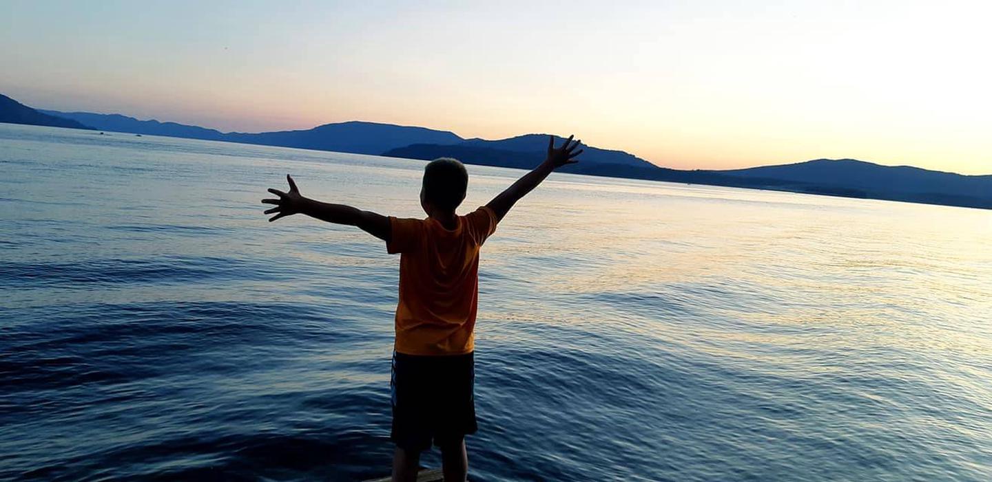
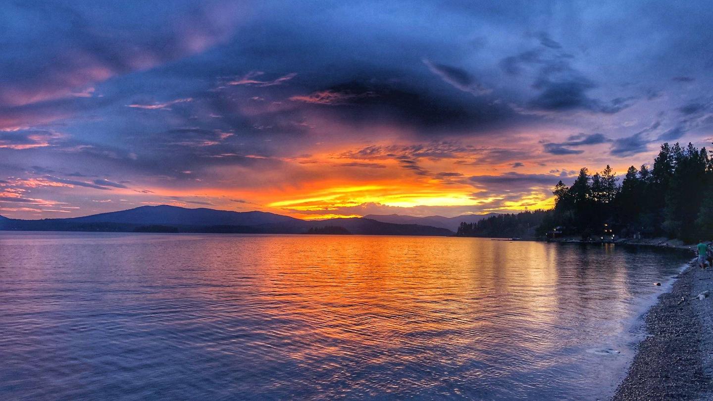
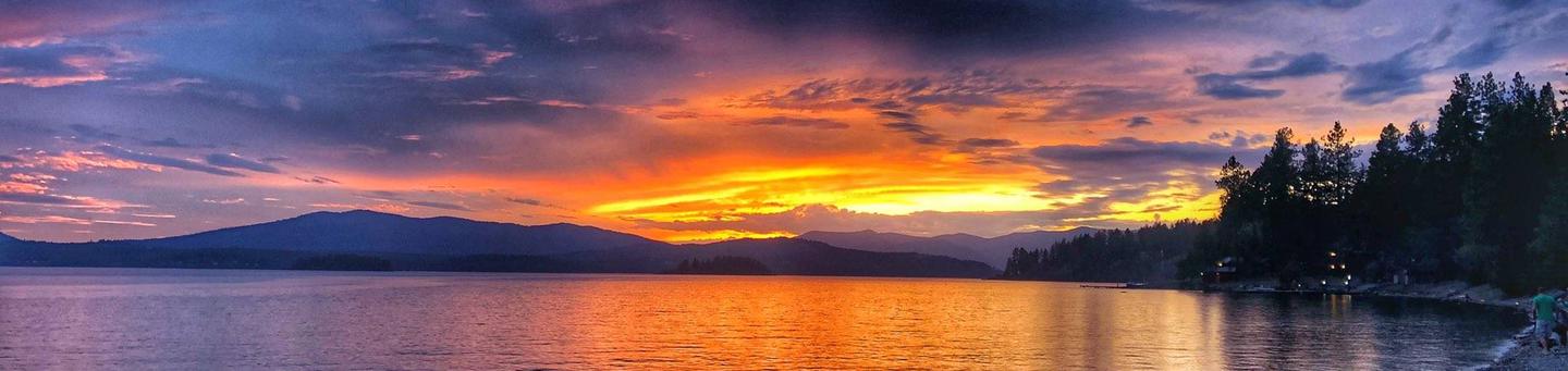
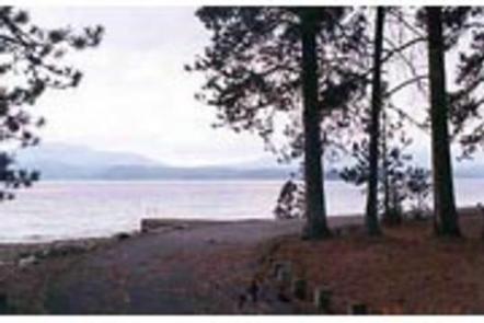
Sam Owen Campground is nestled on the banks of Lake Pend Oreille in a densely wooded forest of pine and cedar. Popular activities include hiking, canoeing, swimming and boating in summer, and skiing in winter.

Recreation

A sandy beach draws crowds of sunbathers and swimmers. Visitors also like to hike the half-mile, accessible Sam Owen Trail #4. The trail reaches a beautiful vista of Owens Bay, where hikers can rest on benches and take in the astonishing view.

Anglers take pleasure in catching kamloops, Dolly Varden, northern pike, trout and catfish. A boat ramp and dock are located on-site.

Facilities

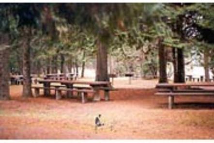
Amenities include a picnic area, paved overflow parking areas and an amphitheater for educational programs. Campsites do not have electric hookups but a group picnic shelter has electricity and lights. Accessible flush toilets, drinking water and a dump station are provided.

Natural Features

Sam Owen Campground is situated on a peninsula on the east side of Lake Pend Oreille in the Idaho Panhandle National Forest, at an elevation of 2,000 feet. The lake spans 82,088 acres and has 125 miles of shoreline.

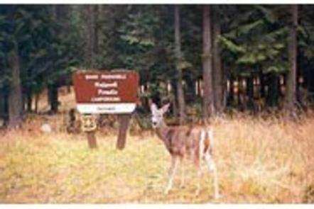
The well-loved campground shares a peninsula with the Sam Owen Game Preserve, which provides plenty of opportunities to see wildlife up close. Deer are very easy to spot, and watching for unique birds is a rewarding activity.

Nearby Attractions

The Pend Oreille Scenic Byway is well worth exploring.

Reservation

More from CampingHiking.net:

WEST SULLIVAN, Washington Campground Images, Info & Reservations

Listen Directions Campground is located 90 miles from Spokane. , From the junction of Highway 20, take Highway 31 north towards Ione for 3 miles.. About 1 mile south of Ione, turn onto the Sullivan Lake Road (County Road 9345). Travel 12 miles to the north end of Sullivan Lake.

SALMON CREEK, California Campground Images, Info & Reservations

Listen Directions From Sierraville, travel south on Highway 49 for 18 miles to Bassetts. Turn right and continue two miles to the campground, which is on the left side of the highway. From Sierra City, travel north on Highway 49 for 5 miles. Turn left at Bassett Station on Gold

GREEN RIDGE LOOKOUT, Oregon Campground Images, Info & Reservations

Listen Directions Entry to the lookout is by combination lock. Please call the Sisters Ranger District at (541) 549-7700 one week in advance to get the gate combination. From Sisters, travel 5.5 miles west on U.S. Highway 20 to Forest Road 11 at Indian Ford Campground. Turn right on Forest

TRIMMER CAMPGROUND, California Campground Images, Info & Reservations

Listen Directions From Fresno, California, travel east on Highway 180/Kings Canyon Highway to Academy Avenue. Turn left onto Academy Avenue, and then turn right on Belmont Avenue. Continue traveling for approximately 26 miles; the entrance to Trimmer Recreation Area is on the right. NOTE: Belmont Avenue becomes East Trimmer Springs

CRANDALL CREEK CABIN, Montana Campground Images, Info & Reservations

Listen Directions Crandall Creek Cabin is located approximately 24 miles northeast of Wilsall, and 52 miles from Livingston. From Livingston, travel north on Highway 89 to Wilsall. Turn right from Highway 89 onto Shields River Road. Follow Shields River Road until the pavement ends and turn right at the end