DEVILS ELBOW, ID Campground Reservation, Info, Images, Map, Directions

DEVILS ELBOW, Idaho Campground Images, Info & Reservations

Directions

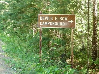
From I-90, take Exit 43 (Kingston) and travel 20 miles north on FH9 to Prichard. Continue 11 miles north on Forest Road 208 to the campground.

Phone

435-245-6521

Activities

CAMPING, FISHING, SWIMMING SITE

Keywords

DEV2,DEVIL S ELBOW,IDAHO PANHANDLE NF – FS

Related Link(s)

Rec Area Info & Images

Forest Service Concessionaire

Idaho State Road Conditions

Idaho State Tourism

Overview

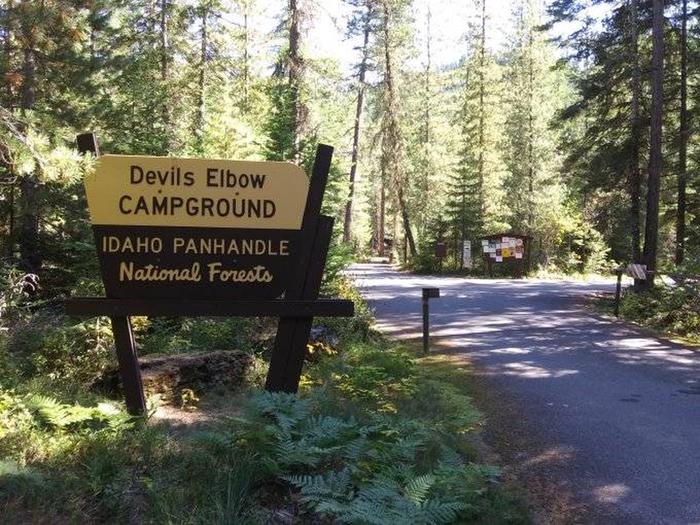
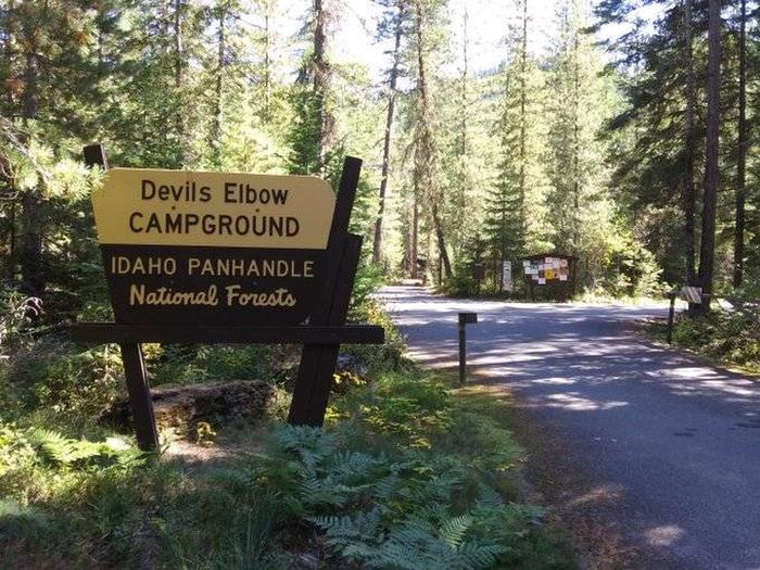
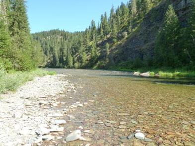
Devil’s Elbow Campground is perched on the banks of the North Fork Coeur d’Alene River, providing a perfect escape for a warm summer weekend. Here, visitors can camp in tents or RVs and spend their days fishing or floating the river.

Recreation

Rafting, swimming and kayaking are favorite activities on the river. Rafters will find class I-III rapids further down the river. Catch-and-release cutthroat trout fishing is also popular.

Visitors also enjoy explore the river valley on foot to see nearby Downey Creek or Valitons Creek.

Facilities

Devil’s Elbow Campground has 20 campsites including one host site and a group site. The group site can accommodate up to 50 people. Amenities include hand-pump drinking water and vault toilets.

Campground roads are paved and parking spurs are short but wide enough for parking two vehicles alongside a trailer.

Natural Features

    The campground sits among lodgepole and other mixed pines along the river at an elevation of 2,600 feet. The area is located in the Coeur d’ALene Mountains, 69 miles from popular Coeur d’Alene Lake.

    Wildlife watchers and photographers have the chance to see mule deer, moose, osprey and calliope hummingbirds.

Reservation

More from CampingHiking.net:

RIBBONWOOD EQUESTRIAN CG, California Campground Images, Info & Reservations

Directions From Palm Desert, California, take the Palms to Pines Highway/Highway 74 south for approximately 16 miles to the community of Pinyon. Turn left onto South Pinyon Drive and the entrance to the campground is on the right. Phone (760) 862-9984 Activities CAMPING, FISHING, HORSEBACK RIDING, HORSE CAMPING, MOUNTAIN BIKING

LEPAGE PARK, Oregon Campground Images, Info & Reservations

Directions From Dalles, Oregon, take I-84 east for 30 miles. Take exit 114 and follow signs to the John Day River. Phone 541-739-1135 Activities BOATING, CAMPING, FISHING, PICNICKING, WATER SPORTS, WILDLIFE VIEWING, DAY USE AREA, SWIMMING SITE, PADDLING, SWIMMING, MOTOR BOAT, WATER ACTIVITIES, KAYAKING, CANOEING, WATER ACCESS, WATER SKIING, SAILING,

BLACK BUTTE CABIN, Montana Campground Images, Info & Reservations

Directions From Ennis, travel south on Highway 287 for about 32 miles to the West Fork Rest Area. Turn right onto West Fork Road/Forest Road 209 and continue for about 2 miles. Turn right onto Standard Creek Road/Forest Road 237 and travel 18 miles to the cabin. Maps may be

MINERS GULCH, Utah Campground Images, Info & Reservations

Directions From Duchesne, Utah: Take Highway 87 north for 15 miles to the Mountain Home turnoff. Turn left and continue 2.5 miles north to the Rock Creek Store. Turn left toward Rock Creek Canyon and proceed approximately 15 miles to the campground. You’ll see a sign for Miners Gulch and