Directions
Car From Interstate 5, take the Highway 44 West exit toward Downtown Redding and Eureka. From Downtown Redding, follow Highway 299 west toward Eureka for approximately 8 miles to reach the Visitor Center. Plane Commercial air service is available to Redding California located approximately 16 miles from Whiskeytown. Rental vehicles are available.
Phone
(530) 242-3400
Activities
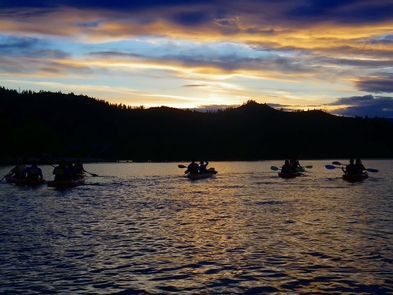
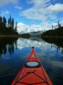
BIKING, BOATING, HISTORIC & CULTURAL SITE, CAMPING, FISHING, HIKING, HORSEBACK RIDING, HUNTING, PICNICKING, WATER SPORTS, WILDLIFE VIEWING, PADDLING, SWIMMING, HORSE CAMPING
Camping Reservations
Reserve your campsite at these camping areas:
Whiskey Creek Group Picnic Area (Whiskeytown NRA)
DRY CREEK GROUP CAMPGROUND (Whiskeytown NRA)
SHEEP CAMP PRIMITIVE CAMPGROUND
HORSE CAMP PRIMITIVE CAMPGROUND
CRYSTAL CREEK PRIMITIVE CAMPGROUND
PELTIER BRIDGE PRIMITIVE CAMPGROUND
BRANDY CREEK PRIMITIVE CAMPGROUND
Hiking Trails
Looking for nice hiking areas to take a hike? Choose from these scenic hiking trails:
Related Link(s)
More California Recreation Areas
Whiskeytown National Recreation Area Official Website
Whiskeytown National Recreation Area Map
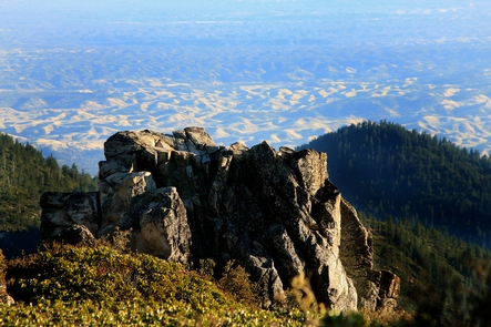
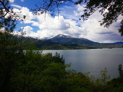
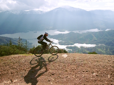
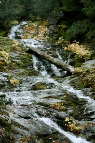
Whiskeytown Lake™s beautiful crystal-clear waters, surrounded by mountain peaks, are perhaps the most prominent feature of the park. However, water-based recreation is only a small part of what the park has to offer. The 39,000 acres surrounding the lake hold four waterfalls, pristine mountain creeks, 70 miles of trails, and opportunities to explore the history of the California Gold Rush.

