

Directions
From Orr, Minnesota, take St. Louis County Road 23 for 16 miles to Buyck. At Buyck, County Road 23 turns into County Road 24. Continue on County Road 24 for 4 miles to the Echo Trail. Turn right onto the Echo Trail and continue 0.8 miles to the Echo Lake Campground.
Phone
(218)666-0020
Activities
BOATING, CAMPING, FISHING, DAY USE AREA, SWIMMING SITE
Keywords
ECH2,SUPERIOR NATIONAL FOREST,ECHO LAKE MINN,SUPERIOR NF – FS
Related Link(s)
Minnesota State Road Conditions
Overview
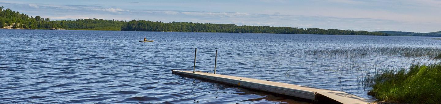
Echo Lake is located on the west end of the Echo Trail, a remote country road that traverses through the heart of the Western Superior National Forest. This quiet campground, where the sounds of birds and the wind are often heard, is a peaceful alternative to the hustle and bustle of the area’s resort scene. A variety of campsites, activities and amenities offer a comfortable stay for RV, trailer and tent campers. Superior National Forest, located in northeastern Minnesota’s arrowhead region, is comprised of three million acres. The forest spans 150 miles along the United States-Canada border. Visitors can find recreation opportunities year-round, including travel in the famous Boundary Waters Canoe Area Wilderness.
Recreation
Echo Lake is a popular fishing spot for walleye, northern pike, panfish, black crappie, white sucker and yellow perch also living in the lake. The surrounding national forest offers a wide variety of recreational opportunities, including hiking in secluded woodlands and canoeing in pristine lakes and rivers. View recreation guides and maps of hiking trails and canoe routes in the national forest.
Facilities
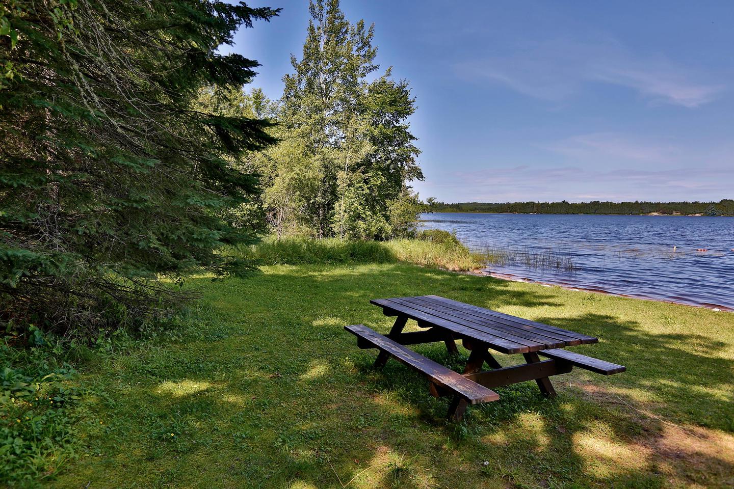
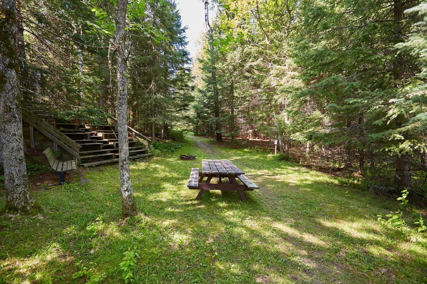
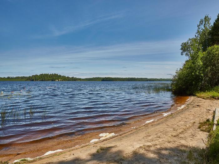
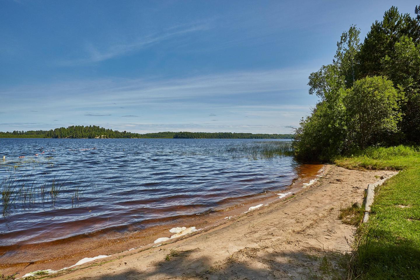
The campground provides 24 sites, with eight reservable sites (1 group site and 7 standard sites) and 16 first come-first served. The sites are non- electric and amenities include vault toilets, solar powered water, tables, an amphitheater, garbage service, campfire rings. A group campsite is available for groups of up to 21 people. Three first-come, first-served dispersed campsites that can be accessed only by boat are located around the lake as well. Heavy vegetation may limit the lake view from some sites; however, there are numerous trails leading to the water. Young trees and lush ground plants provide privacy between sites. A boat ramp and sandy beach are provided for access to water activities and swimming. Firewood can be purchased on-site.
Natural Features
This campground is on the south shore of the 1,222-acre Echo Lake and is surrounded by a mix of aspen, balsam, spruce, maple and pine trees, which provide ample shade.
Nearby Attractions
Possible day trips from the campground include Voyageurs National Park, Crane Lake, Vermillion Falls, Echo Lake Trail (1.5 miles) and Echo Lake Hunters Walking Trail (10 miles).
Numerous outdoor recreation opportunities lie within Superior National Forest’s 77 lake accesses, 13 fishing piers, 10 swimming beaches and 22 picnic areas. The forest is also home to three scenic byways and the Boundary Waters Canoe Area Wilderness.