
Directions
From Idyllwild, travel north for about 8 miles on State Route 243. Turn right onto Black Mountain Road/Forest Route 4S01 and continue about 5 miles to the campground. Black Mountain Road is an unpaved forest road, not recommended for low clearance vehicles or trailers.
Phone
909-382-2922
Activities
BIKING, CAMPING, FISHING, HIKING, HORSEBACK RIDING, PICNICKING, WILDLIFE VIEWING, MOUNTAIN BIKING, BACKPACKING
Keywords
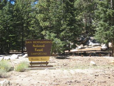
BOUL,SAN BERNARDINO NF – FS
Related Link(s)
California State Road Conditions
Overview
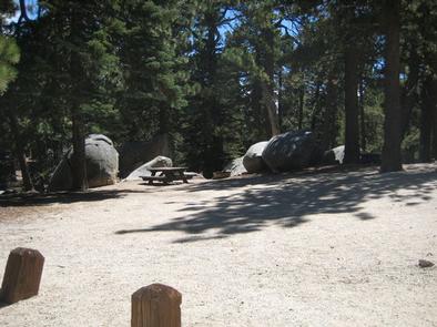
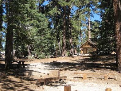
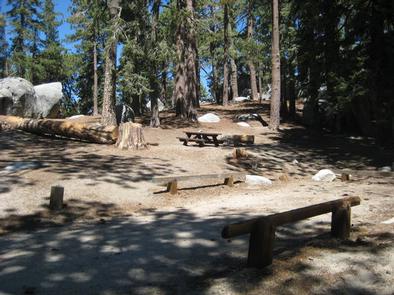
The Boulder Basin Campground offers solitude and primitive camping in a scenic mountain landscape. The area provides ample recreational opportunities, including hiking, mountain biking, climbing and more.
Recreation
The campground provides access to a number of trailheads, including the Black Mountain Trail, a 3.6-mile, moderately strenuous hiking, mountain biking and horseback riding trail that travels through the forested slopes of Black Mountain.
The trail provides excellent views of the Banning Pass and Mt. San Gorgonio. The trail provides access to the famed Pacific Crest National Scenic Trail, which begins at the Mexico border in Southern California and leads to Washington border of Canada.
Facilities
The campground offers multiple single-family campsites, available for tent and RV camping. Each site is equipped with tables and campfire rings with grills. Vault toilets are also provided.
Natural Features
The campground is located in a mixed conifer forest, which provides ample shade throughout the day. It is situated at an elevation of about 7,300 feet. Roads to and within the campground are not paved.
Nearby Attractions
This group site is located approximately 50 miles southeast of San Bernardino, California, and 14 miles north of Idyllwild, where fuel and a variety of small town shops and restaurants are available.