
Directions
From Panguitch, Utah, take Highway 143 southwest 14 miles. Campground is on the north side of the highway.
Phone
801-226-3564
Activities
AUTO TOURING, BIKING, BOATING, CAMPING, FISHING, HIKING, WILDLIFE VIEWING, PHOTOGRAPHY, MOUNTAIN BIKING, OFF ROAD VEHICLE TRAILS, KAYAKING, CANOEING, STAR GAZING, SCENIC DRIVE, AMPHITHEATER
Keywords
PANG,DIXIE NF – FS
Related Link(s)
Overview
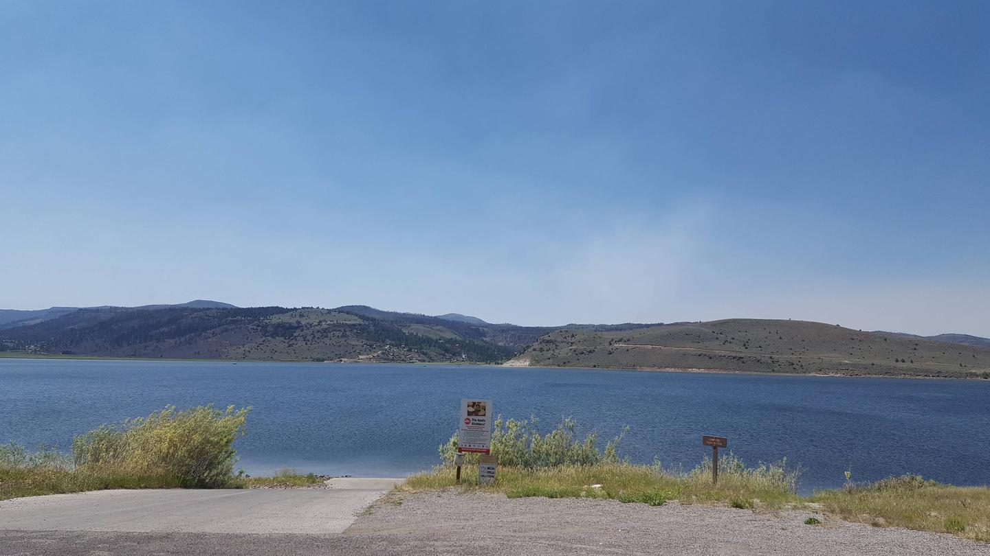
Panguitch Lake Campground is located 14 miles southwest of Panguitch, Utah. Some of the state’s largest rainbow trout are fished from the lake each year, and aptly so; “Panguitch” comes from the Paiute word meaning “big fish.” Visitors also enjoy canoeing and exploring the Panguitch Lake OHV Trail System.
Recreation
Panguitch Lake offers great fishing for rainbow, brook, cutthroat and brown trout. Canoeing and kyacking are a popular activity. Two public boat ramps are located on the lake, one on the south shore and the other on the north shore at Wildlife Point. The Markagunt OHV trail system at Panguitch Lake offers 300 miles of routes and trails. Other activities include hiking, biking, horseback riding and hunting.
Facilities
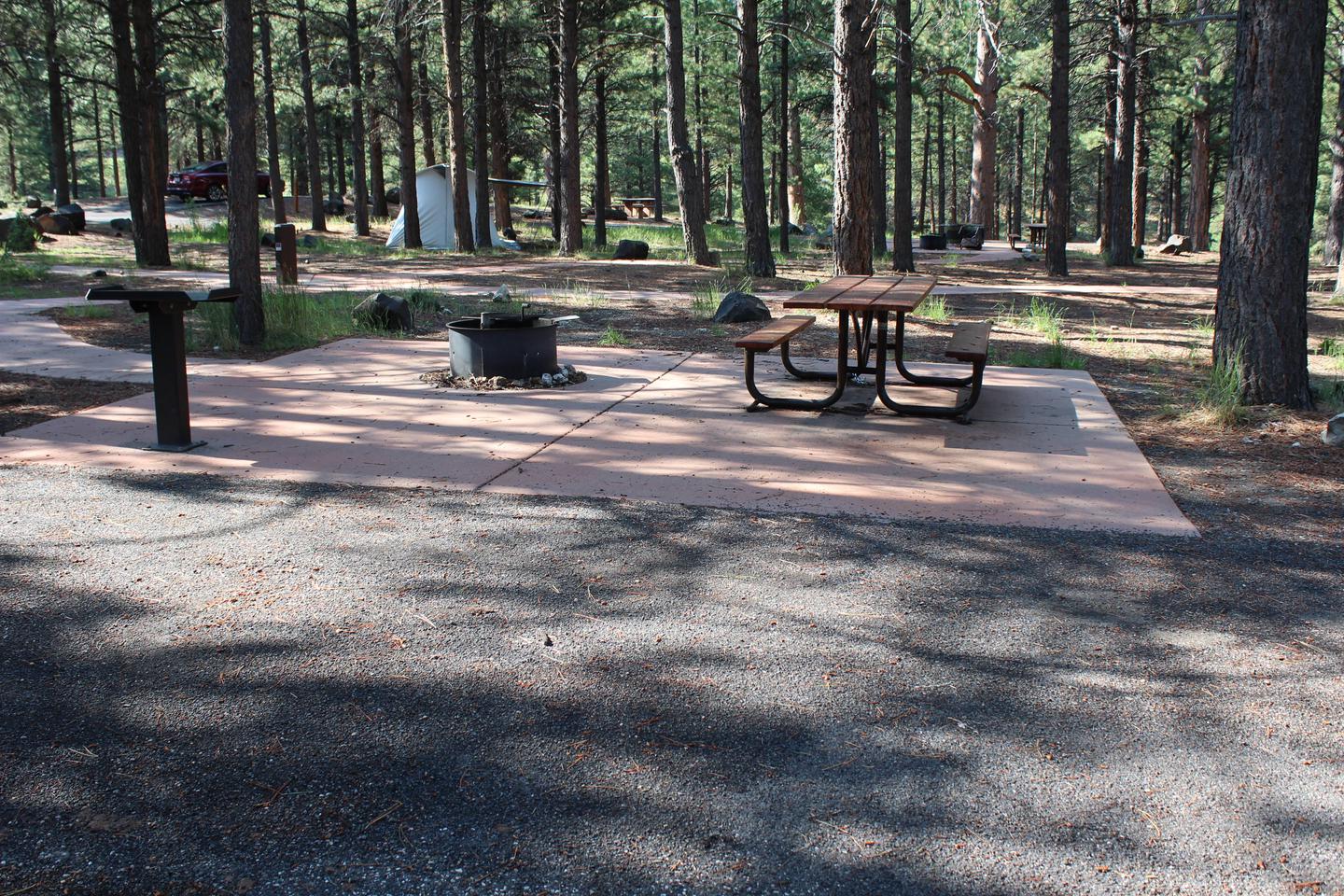
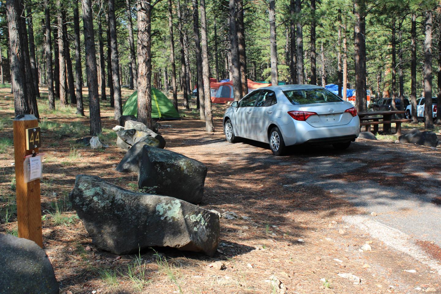
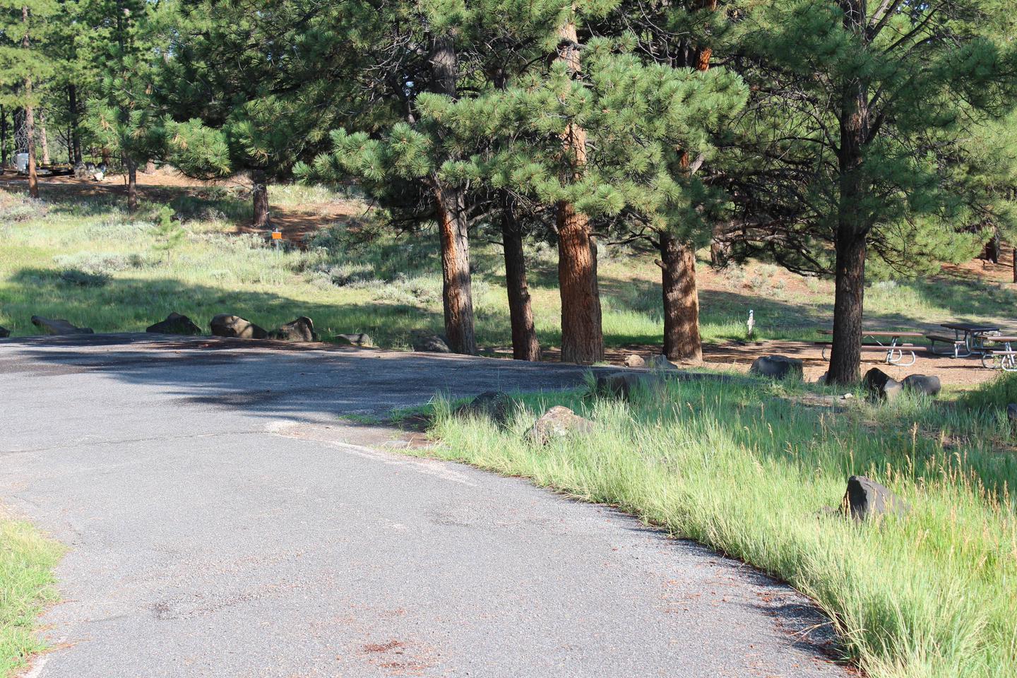
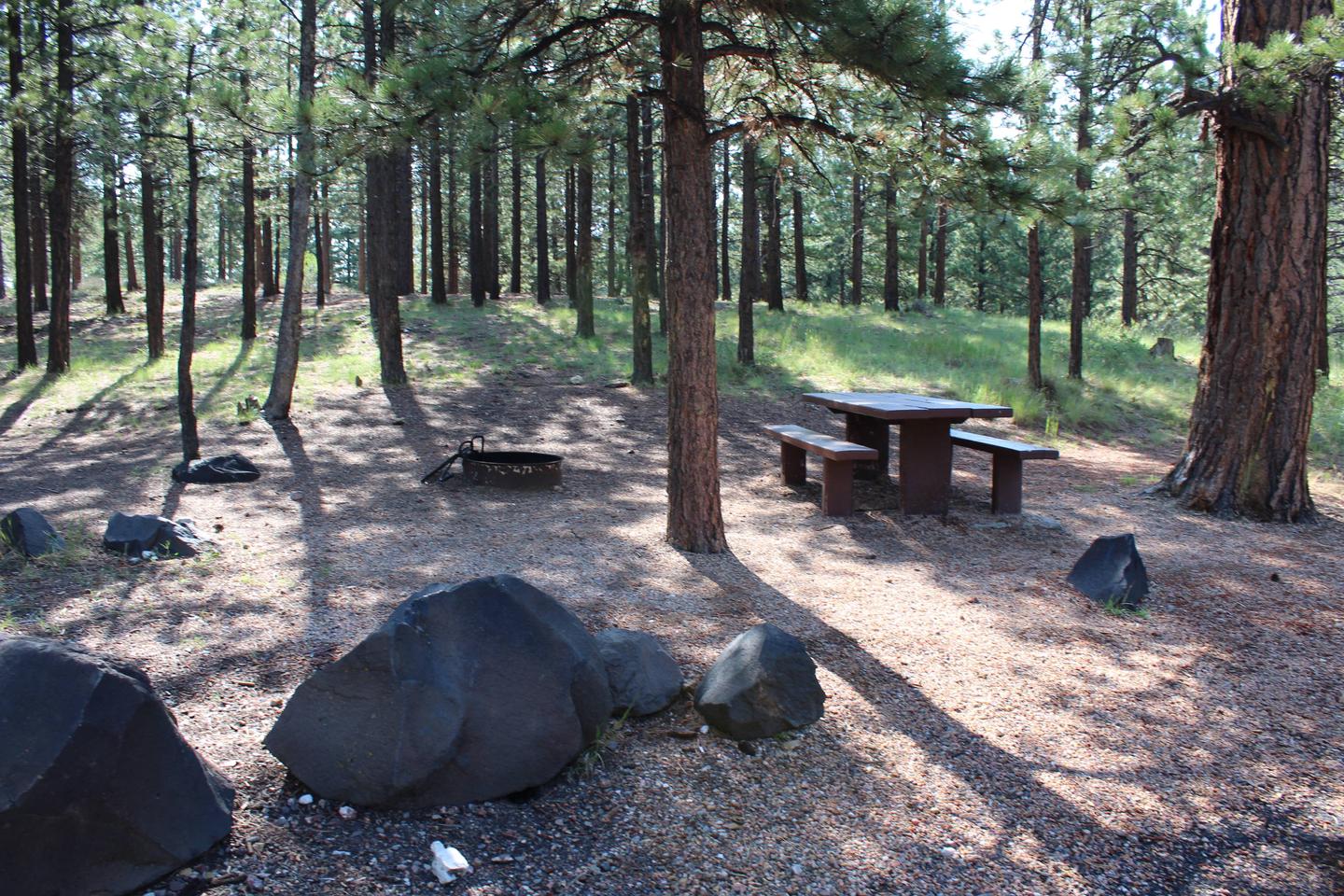
The campground is located on both the north side and the south side of the highway. The Panguitch lake north is the larger of the two, with single and double campsites and three group sites. The south side is strictly for tent camping (no reservations).
Amenities include flush toilets and drinking water. There are no hook-ups available so please fill your tanks at the dumpstation just east of the campground prior to setting up. A horshoe pit and a volleyball court are on-site, though campers must provide their own net and ball. An amphitheater near the Panguitch group site is available upon request. The campground road and parking spurs are paved.
Accessible sites area available on the north side of the campground.
No OHV access in or out of the campground including street legal, all OHV’s must be trailered.
Natural Features
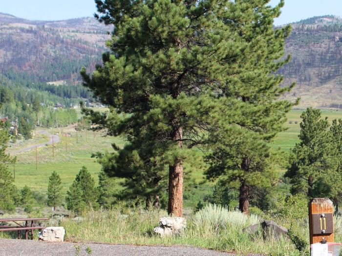
The lake is situated high on the Colorado Plateau at an elevation of 8,400 feet. A forest of ponderosa pines covers the campground, which lies on a hillside about a quarter-mile above the lake. Deer and elk are often seen in the area.
Nearby Attractions
Panguitch Lake has two public boat landings and is less than 5 minutes from the campground. Great fishing from both a boat and the shore or just hanging out on the beach is enjoyed by many! Panguitch Lake Campground is just 14 miles from Cedar Breaks National Monument, with hiking trails, guided tours, wildflower walks, star gazing and awesome views of the Cedar Breaks Amphitheater. Just outside Cedar Breaks is the Ashdown Gorge Wilderness Area, where hikers will find 10 miles of trails and the Twisted Forest, a stand of ancient bristlecone pine. Bryce Canyon National Park is 30 minutes away, with breathtaking scenery and excellent hiking and horse ridng opportunities.