

Directions
From Leadville, Colorado, drive west on County Road 4 and follow signs to the Turquoise Lake Recreation Area.
Phone
719-486-0749 (FOR INFORMATION ONLY. NO RESERVATIONS.)
Activities
BOATING, CAMPING, FISHING, HIKING
Keywords
PRIN,PIKE AND SAN ISABEL NF- FS
Related Link(s)
Colorado State Road Conditions
Overview
Printer Boy Group Campground is located near Turquoise Lake, in an area with plenty of recreational opportunities, including boating, fishing and hiking.
Recreation
Hikers enjoy the 1.2-mile Turquoise Lake Nature Trail. The gentle path meanders through the forest and down to the shoreline of Turquoise Lake where it connects with the 6.4-mile Turquoise Lake Trail. Trail guides are available at the Turquoise Lake Trail trailhead, located at the entrance to Molly Brown Campground.
On the lake, boating, sailing, canoeing and fishing are favorite activities. Anglers fish for stocked cutthroat, rainbow, brown and lake trout. A boat ramp is located nearby.
The campground offers a playground, ball fields, horseshoe pits and a volleyball court. Campers must bring their own sports equipment.
Facilities
Printer Boy offers four group sites: 1 and 4 can accommodate up to 75 people; 2 and 3 can accommodate up to 35 people. Sites 3 and 4 are accessible.
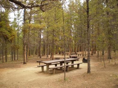
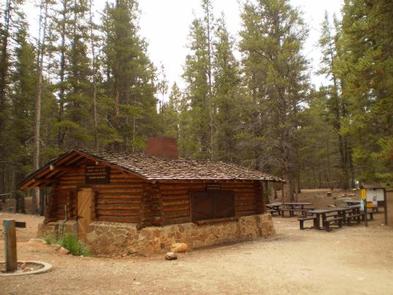
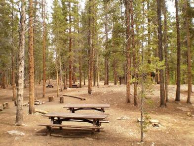
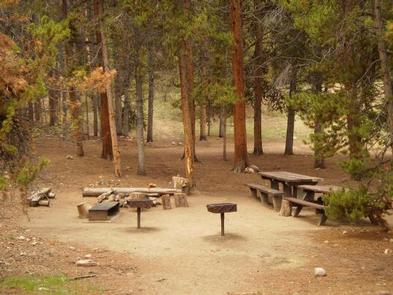
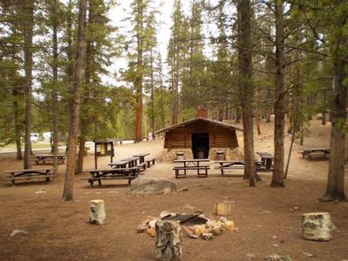
Each site is equipped with picnic tables, a campfire circle and grill. A centrally-located cooking shelter is available on a first-come, first-served basis. Vault toilets, drinking water and trash collection are provided. A dump station is located just outside the campground.
Natural Features
The campground is situated within walking distance of the lakeshore in a forest of lodgepole pine and subalpine fir.
The Mount Massive Wilderness area, a 30,540 acre stretch of primitive land is nearby. Much of the wilderness is above timberline with many alpine plant communities and permanent snowfields.
Nearby Attractions
The nearby town of Leadville, a historic gold and silver mining town, is worth visiting for its small town charm.
Venture to Independence Pass for a scenic drive with breathtaking views of the Rockies and surrounding alpine tundra habitat. At 12,095 feet, it is one of the highest paved mountain passes in the country and marks where the Top of the Rockies National Scenic and Historic Byway crosses the Continental Divide.