


Directions
From Gorham, New Hampshire: Take State Route 16 south for 6 miles. Turn right onto Dolly Copp Road and travel 0.5 miles to the campground.
From North Conway, New Hampshire: Take Highway 302 to Glen. Turn right onto State Route 16 north and follow for about 22 miles. Turn left onto Dolly Copp Road and travel 0.5 miles to the campground.
Phone
603-466-2713
Activities
BIKING, CAMPING, INTERPRETIVE PROGRAMS, HIKING
Keywords
DOLC,WHITE MOUNTAIN NF -FS
Related Link(s)
New Hampshire State Road Conditions
Overview
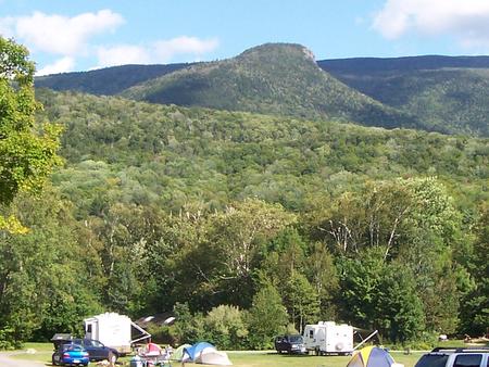
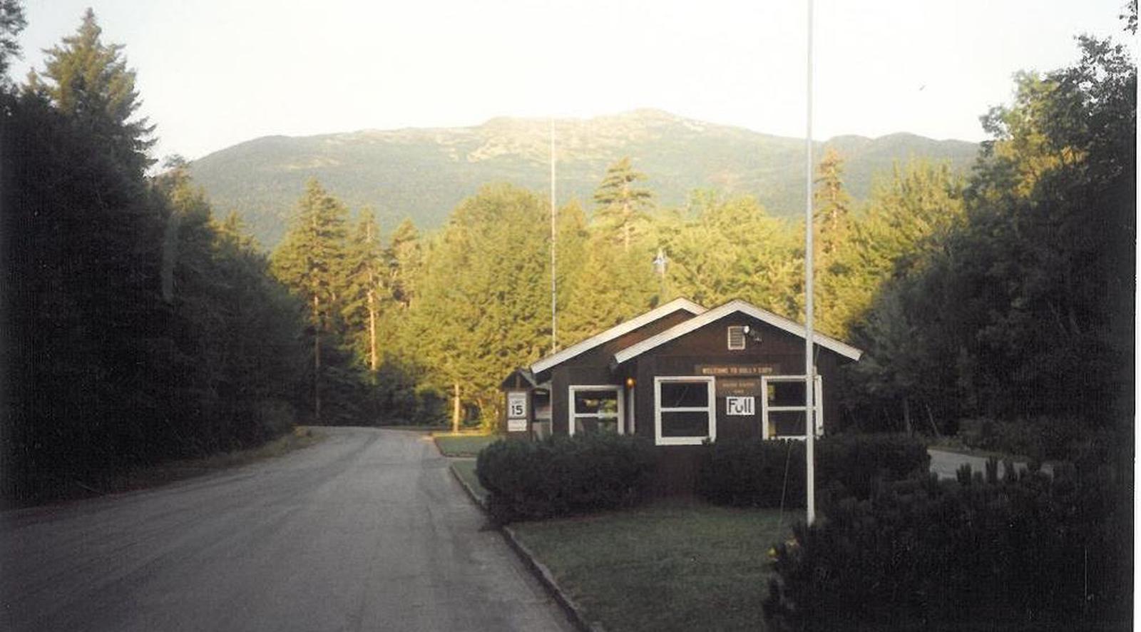
Located 6 miles south of Gorham, New Hampshire at the base of New England’s tallest peak, the historic Dolly Copp Campground is a large facility that accommodates a range of campers and provides access to some of the most popular hikes in the White Mountains.
Lush forests, spectacular mountain views and convenience to outdoor recreation and scenic driving draw visitors from all over to Dolly Copp. The surrounding White Mountain National Forest encompasses nearly 800,000 acres in New Hampshire and western Maine, and is one of the most popular forests in the country.
Recreation
The campground is a hub for hikes into the Presidential and Carter-Moriah Ranges. The Daniel Webster Scout Trail leads from the campground into the Great Gulf Wilderness on the northeast side of Mount Washington. Many more miles of trails can be accessed within a short drive.
Within the facility, anglers can try their luck for brook trout in the creek and river. Families can learn more through educational programs presented on weekends in July and August. The end of the camping season may also bring great opportunities for viewing fall foliage.
Learn more about recreation in the national forest.
Facilities
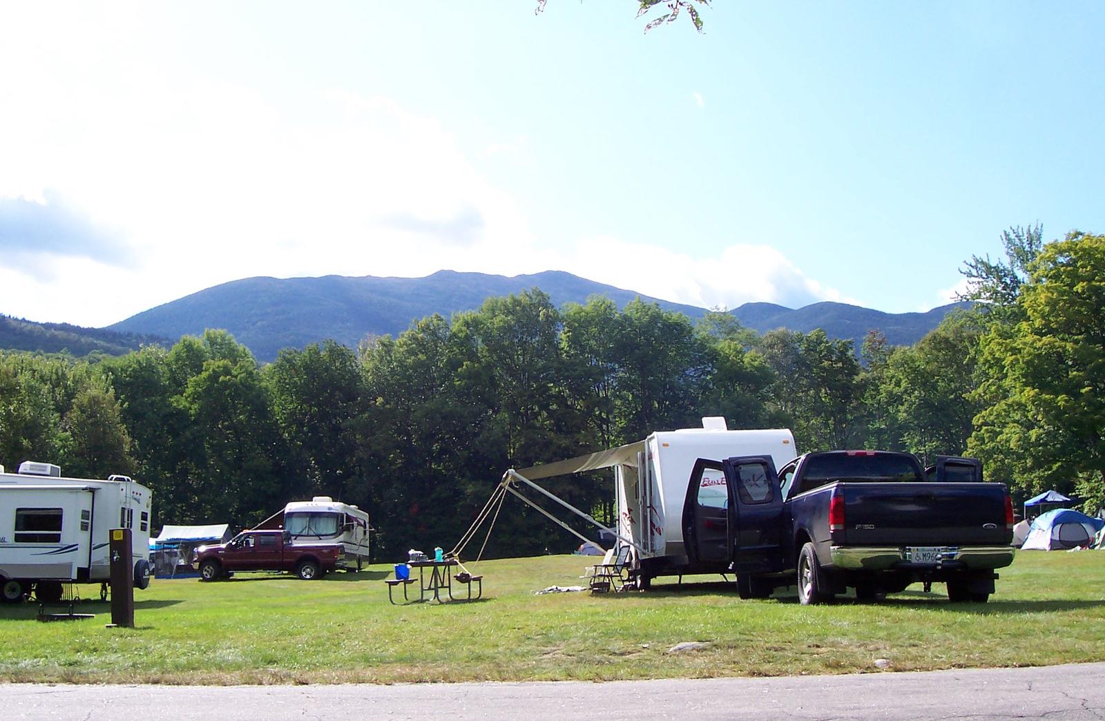
Dolly Copp is the largest campground within White Mountain National Forest. Sites are spacious and organized into several loops. Some sites have 30amp / 50 amp hookups. Coin operated showers, flush toilets, water spigots are located throughout the campground.
Natural Features
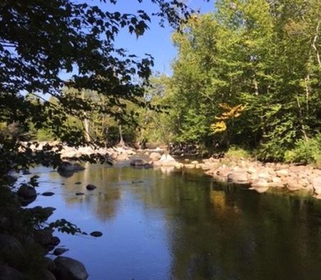
Dolly Copp is situated in a mixed hardwood, spruce and pine forest at the base of 6,288-ft. Mount Washington, the highest peak north of the Smoky Mountains and east of the Mississippi River. The Peabody River and Culhane Brook pass through the facility.
The national forest is home to many species of northern wildlife, including moose, white-tailed deer and black bear. Almost 200 species of birds, including the rare Bicknell’s Thrush, live in the White Mountains.
Summer temperatures are often very pleasant; however mountain weather can change drastically, putting visitors at risk for exposure to cold, rain and snow even during summer. Campers should come prepared.
Nearby Attractions
Numerous hiking trails, mountain biking trails and rock climbing routes are within a short drive of the campground. The nearby towns of North Conway, Jackson and Gorham provide shops, restaurants, supplies and other conveniences.
In clear weather, confident campers can try the drive up the steep Mount Washington Auto Road to catch a view from the Northeast’s highest peak. Guided tours are also available. The Cog Railway ascends the other side of the mountain, and is about an hour drive from Dolly Copp.