MANTI COMMUNITY, UT Campground Reservation, Info, Images, Map, Directions

MANTI COMMUNITY, Utah Campground Images, Info & Reservations

Directions

Located 7 miles east of Manti, Utah, on Forest Development Road #045.

Phone

435-283-4151

Activities

BIKING, BOATING, CAMPING, FISHING, HIKING, WILDLIFE VIEWING

Keywords

MANT,MANTI-LASAL NF -FS

Related Link(s)

Rec Area Info & Images

Utah State Tourism

Utah State Road Conditions

Overview

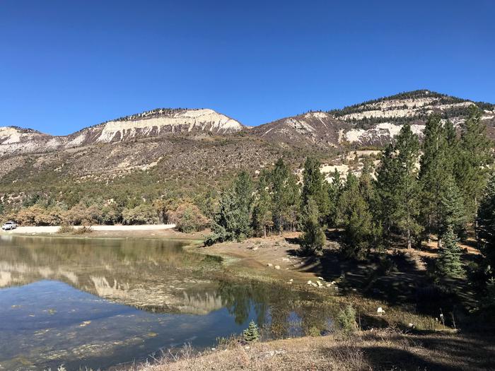
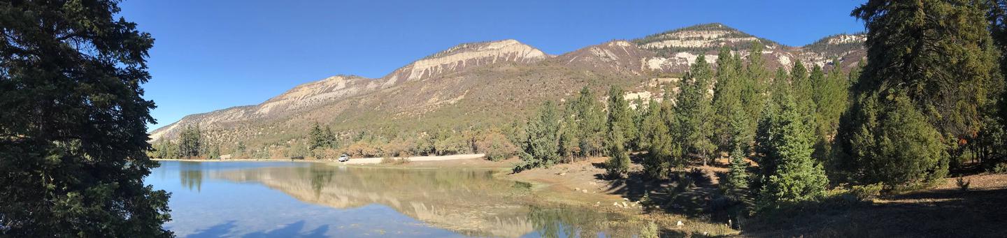
Manti Community Campground is just 7 miles from Manti, Utah next to Yearns Reservoir at an elevation of 7,400 feet. Visitors enjoy fishing, canoeing and exploring local trails.

Recreation

Canoeing and fishing for cutthroat trout is a popular activity on the small but scenic man-made reservoir. Hiking, mountain biking and horseback riding are also favorite activities in the area.

Facilities

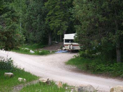
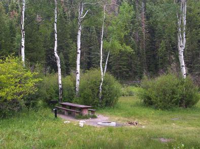
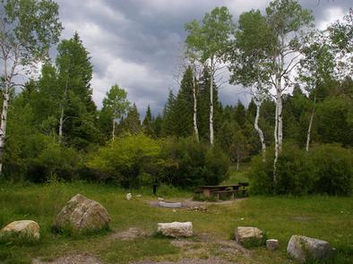
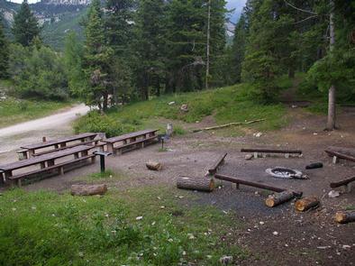
The campground contains one group site that can accommodate up to 30 people and six vehicles. Single-family sites are available as well. Vault toilets are provided. Roads and parking spurs are gravel.

Natural Features

A mixed forest of spruce, pinyon, juniper, fir and aspen covers the area, offering partial shade. Wildlife and summer wildflowers are abundant.

Nearby Attractions

The surrounding area is a haven for ATV enthusiasts. Several trails crisscross the region, making up part of the 350 plus miles of the exciting Arapeen OHV Trail System. In the immediate area is the Burnt Hill Trail that connects with the Patton Trail.

Reservation

More from CampingHiking.net:

STONY CREEK SEQUOIA, California Campground Images, Info & Reservations

Directions From Fresno, California, go east on Highway 180 to the Kings Canyon National Park entrance. Take a right at the Generals Highway, traveling approximately 10 miles south to Stony Creek Campground. Phone 559-335-2232 Activities CAMPING, DAY USE AREA Keywords STCR,GIANT SEQUOIA NAT. MONUMENT,STONEY CREEK SEQUOIA,SEQUOIA NF – FS Related

SUTTON CAMPGROUND, Oregon Campground Images, Info & Reservations

Directions From Florence, Oregon, take Highway 101 north 5 miles to the Sutton Campground turnoff and go one mile to the campground. Phone 541-997-2715 Activities BOATING, CAMPING, FISHING, HIKING, WILDLIFE VIEWING, SWIMMING SITE, BERRY PICKING Keywords SUTT,SIUSLAW NF – FS Related Link(s) Rec Area Info & Images Oregon State Tourism

BIG BEND (WV), West Virginia Campground Images, Info & Reservations

Directions Follow 28/55 from Petersburg, West Virginia, for 8 miles. Turn left onto Smoke Hole Road, Route 28/11, and travel for 13 miles to County Route 2. Turn left onto the Smoke Hole Road, County Route 2, and follow for approximately 3 miles to Big Bend Campground. Phone 304-358-3253 Activities

KENDALL CAMPGROUND, Kentucky Campground Images, Info & Reservations

Directions From Jamestown, Kentucky, take US Highway 127 south for 10 miles and turn right just before crossing the dam. Campground is on Kendall Road. Phone 270-343-4660 Activities BOATING, CAMPING, FISHING, HIKING Keywords KEND,LAKE CUMBERLAND,DAMSITE,TAILWATER,WOLF CREEK DAM Related Link(s) Rec Area Info & Images Kentucky State Road Conditions Kentucky State