
Directions
The campground is located approximately 30 miles up Ferron Canyon, on Forest Development Road 022.
Phone
(435)384-2372
Activities
BIKING, BOATING, CAMPING, FISHING, HIKING
Keywords
FERR,MANTI-LASAL NF -FS
Related Link(s)
Overview
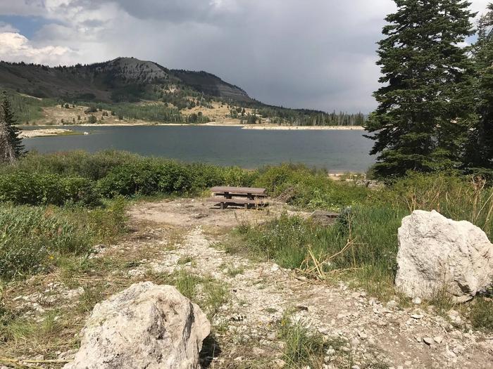
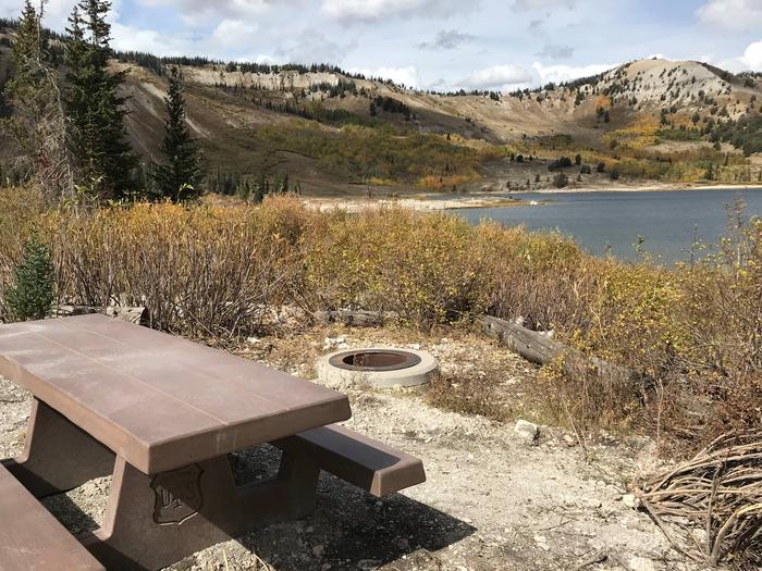
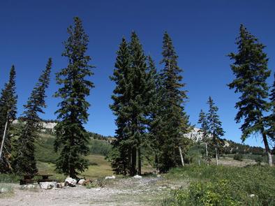
Ferron Campground is located next to Ferron Reservoir. It sits just below the ridgeline of the Wasatch Plateau, at an elevation of 9,400 feet. Visitors enjoy fishing, canoeing and exploring many local trails.
Recreation
Ferron Reservoir is adjacent to the campground, providing canoeing, boating (small craft only) and fishing for rainbow and cutthroat trout. Numerous off-road vehicle trails crisscross the area, offering exciting rides for all skill levels. Rush Pond and Willow Lake are a short drive east, offering additional fishing and canoeing opportunities.
Facilities
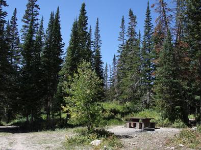
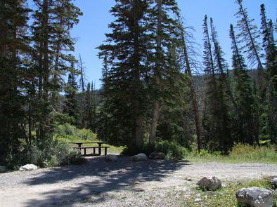
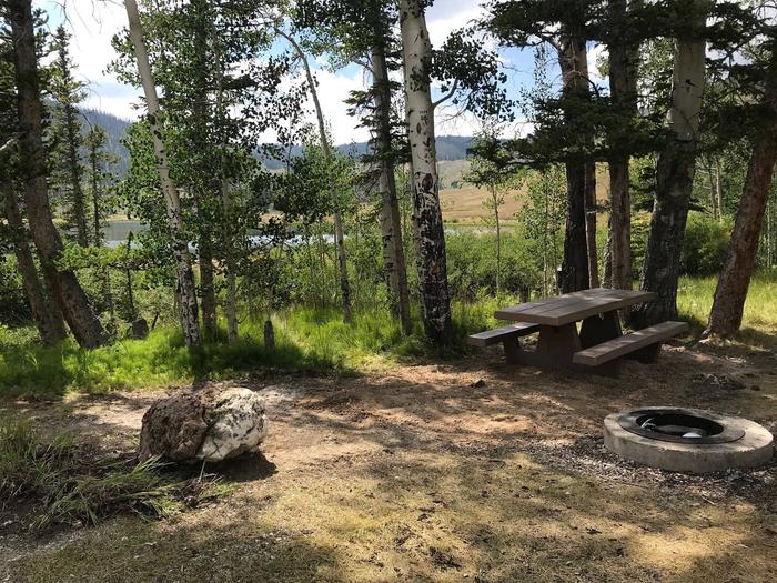
The campground contains one group campsite offering lake views. It can accommodate up to 50 people and eight vehicles. Several single-family sites are also available within the campground. Vault toilets and drinking water are provided, but there is no garbage service. Roads and parking spurs are gravel.
Natural Features
The small reservoir sits in a scenic alpine basin. Spruce, fir and aspen trees dot the landscape, providing partial shade in the campground. Wildlife and summer wildflowers are abundant, and autumn leaves put on quite a show in the surrounding area.
Nearby Attractions
Skyline Drive runs above the campground, along the top of the Wasatch Plateau for more than 60 miles, rewarding visitors with beautiful mountain scenery, glacial cirques, spruce-fir and aspen forests and numerous lakes and reservoirs.
The expansive Arapeen OHV Trail System can be accessed nearby and has more than 350 miles of designated, maintained trails suitable for all riding levels.