
Directions
From Rolla, Missouri, travel 12 miles south on U.S. Highway 63, then continue 1 mile west on Entrance Road.
Phone
417-967-4194
Activities
CAMPING, FISHING, HIKING, WATER SPORTS, WILDLIFE VIEWING
Keywords
LANE,LANE SPRING,LANE SPRINGS,LANE SPRINGS RECREATION AREA,MARK TWAIN NF -FS
Related Link(s)
Missouri State Road Conditions
Overview
Lane Spring Recreation Area provides a peaceful setting along Little Piney Creek and a scenic patio overlooking beautiful Lane Spring. A large, accessible picnic area with two pavilions can be reserved. The site has multiple first come first serve campsites if an overnight stay is desired. A variety of outdoor recreation opportunities are in the area.
Recreation
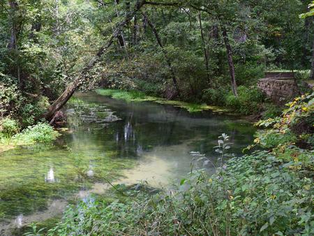
Trout fishing is popular along the portion of the creek nearest Lane Spring, as it is managed by a wild trout fishery. The fish population is self-sustained instead of being stocked. Only artificial lures and flies may be used, and a daily limit is applied of one trout measuring 18 inches or longer. Bass and sunfish are also plentiful.
The 1.25-mile Blossom Rock Trail and the 1.5-mile Cedar Bluff Trail traverse through lush bottomland vegetation with abundant wildflowers, before climbing to views of the river and rock outcroppings. Birding and wildlife viewing is popular along the trails.
Facilities
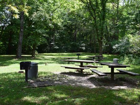
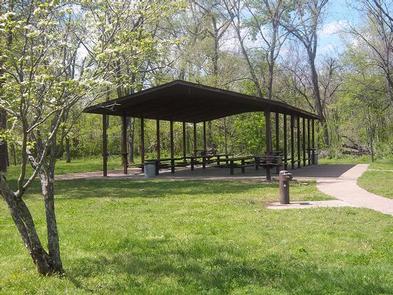
The recreation area offers a picnic area with two group picnic pavilions, each equipped with tables, grills and electric outlets. Each can accommodate up to 100 people. If unreserved, the pavilions are available on a first-come, first-served basis. Each pavillion has 10-20 parking spots with handicap accessible paths to pavillions. These parking spots are not reservable, however there are additional parking spaces that have access to the spring and playground. Additional individual picnic sites are available near the spring. Several family campsites are available as well. Each site is equipped with a table, lantern post and campfire ring with grill. Vault toilets and drinking water are provided.
Natural Features
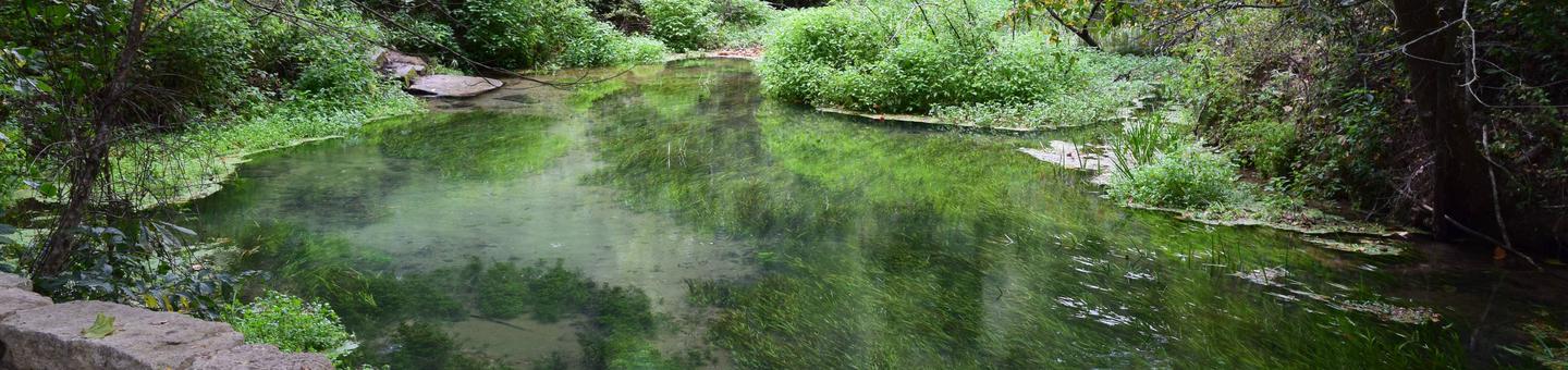
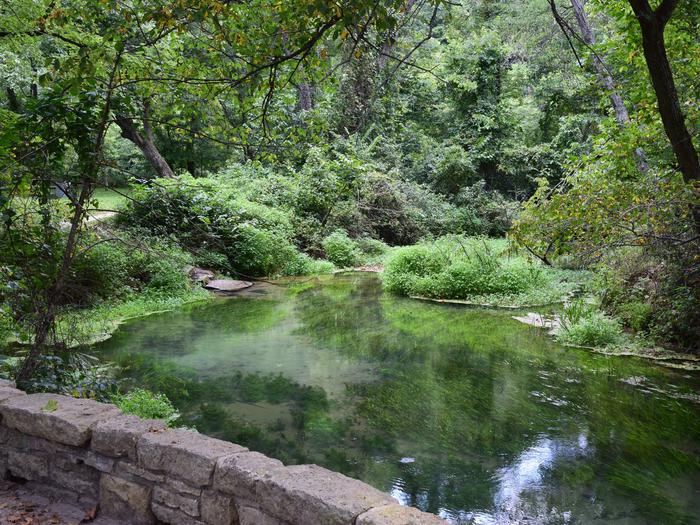
The recreation area is situated along Little Piney Creek, with some waterfront campsites available. A beautiful hardwood forest covers the area, which lies in the northwestern portion of the Mark Twain National Forest.
An accessible shaded stone patio overlooks tranquil Lane Spring, a bubbling spring with watercress and native plant species. It is bordered by a variety of trees, including sycamore, cypress, oak and many others.