FORKLAND, AL Campground Reservation, Info, Images, Map, Directions

FORKLAND, Alabama Campground Images, Info & Reservations

Directions

From Demopolis, Alabama, go nine miles north on U.S. Highway 43, then turn left on County Road. Continue about a mile to the campground entrance.

Phone

334-289-5530

Activities

BOATING, CAMPING, FISHING, HIKING

Keywords

FORK,DEMOPOLIS LAKE,MC CONNICO,BLACK WARRIOR

Related Link(s)

Rec Area Info & Images

Alabama State Tourism

Alabama State Road Conditions

Overview

Forkland Campground is located in a beautiful wooded area on the northern shore of Demopolis Lake, the largest lake on the Black Warrior-Tombigbee Waterway.

Demopolis Lake offers 10,000 acres of water to explore and serves as a quiet and convenient retreat from the two nearby cities of Demopolis and Tuscaloosa, Alabama.

Recreation

Fishing is the most popular activity on the waterway. Whether fishing by boat or along the bank of the park, anglers can find bass, crappie, bream, catfish and other species.

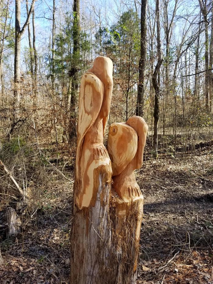
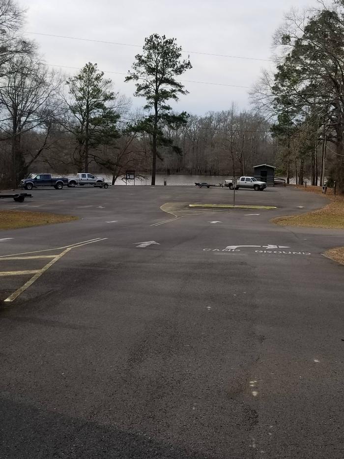
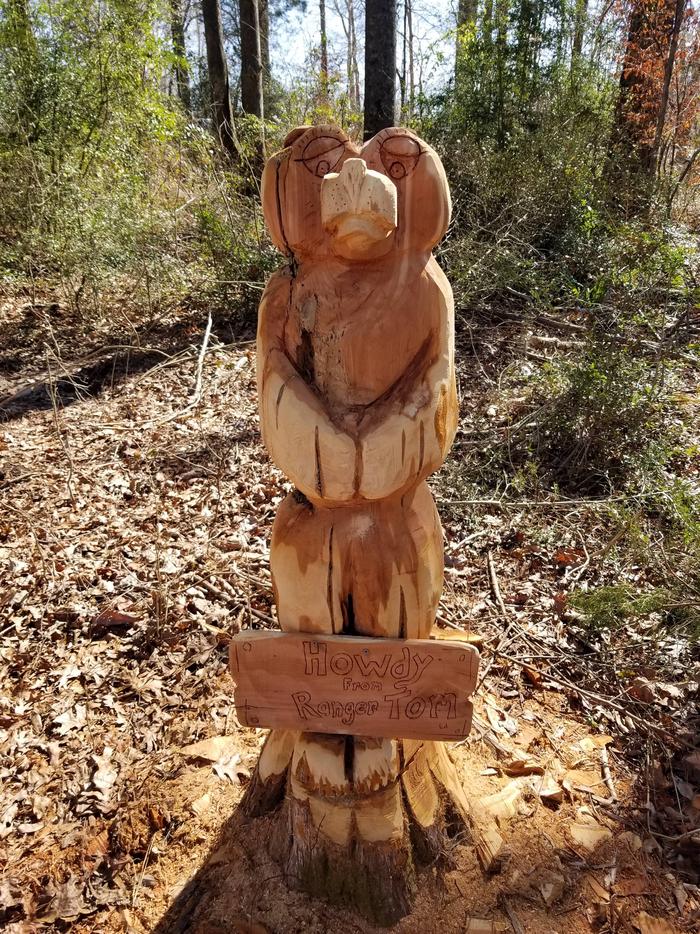
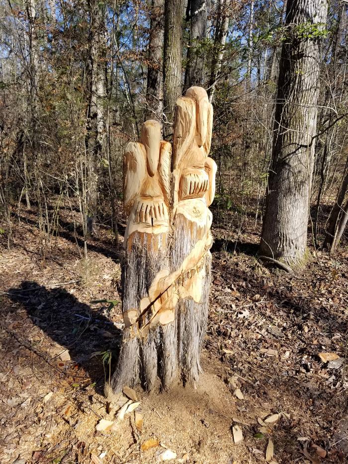
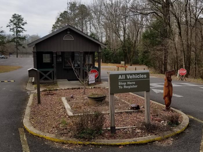
Day-use visitors and campers alike can enjoy a boat ramp and hiking trail at the campground, both of which are located across from the gatehouse. The trail has scenic overlooks of McConnico Creek and the Black Warrior River.

Facilities

The campground is in a comfortable setting, with 42 campsites along the lakeshore. All sites come equipped with water hookups.

Families with children enjoy the state-of-the-art playground and the convenience of showers, picnic areas and laundry facilities. Large groups can reserve a picnic shelter for day use that can accommodate up to 50 people.

Natural Features

Forkland Park is situated on a high point of land in a pine and hardwood mixed forest with plenty of shade. The Black Belt region of Alabama is a diverse area of dense conifer stands and rolling meadows that feature colorful wildflower displays. Wood ducks, bald eagles, blue birds and many other species of wildlife inhabit the lake area.

Black Warrior-Tombigbee Waterway consists of six lakes with a total length of 457 miles and 39,800 surface acres of water.

Reservation

More from CampingHiking.net:

PROSPECTOR, Colorado Campground Images, Info & Reservations

Directions From I-70, take the Silverthorne exit 205. Travel east on Highway 6, approximately 4 miles to Swan Mountain Road. Turn right and travel for 2 miles to Prospector and Windy Point Campground sign. Take dirt road 1 mile to campground entrance. Phone 970-468-7681 Activities BIKING, BOATING, CAMPING, FISHING, HIKING,

DAMSITE, Missouri Campground Images, Info & Reservations

Directions From Springfield, MO, take US 65 north for 60 miles to Preston, MO.. Continue on Highway 54 west to Hermitage, MO., then take Highway 254/ 64 south to Carsons Corner and follow Highway 254 west toward the dam. The entrance to Damsite Park is on the south side of

COON CREEK (OK), Oklahoma Campground Images, Info & Reservations

Directions From Newkirk, Oklahoma, take Highway 77 south to Highway 11 east. Continue about 6 miles, then turn north onto County road and follow signs into the campground. Phone 580-762-5611 Activities BOATING, CAMPING, FISHING, HIKING, WILDLIFE VIEWING Keywords COOE,COON CREEK,OKLAHOMA,KAW LAKE,COON CREEK,OKLAHOMA,COON CREEK KAW LAKE,KAW LAKE Related Link(s) Rec Area

Dam Site Shelter, North Carolina Campground Images, Info & Reservations

Directions From Charlotte, North Carolina, take I-77 North (approximately 60 miles) before merging onto Highway 421 North towards Wilkesboro/Boone. Continue to Exit 286B (approximately 20 miles), turn left onto Highway 268, continue for approximately 4 miles and turn right on Reservoir Road. Turn left into the Visitor Assistance Center parking

HURRICANE BRIDGE, Tennessee Campground Images, Info & Reservations

Directions From I-40, take exit 273. Merge onto US-56 south and continue for approximately 7 miles to the Hurricane Bridge Recreation Area entrance on the right. Phone 931-858-3125 Activities BOATING, CAMPING, FISHING, HIKING, WATER SPORTS Keywords HURB,LITTLE PUCKETTS,CENTER HILL LAKE,CENTER HILL LAKE Related Link(s) Rec Area Info & Images Tennessee