
Directions
From Mountain Home, AR, travel 9 miles east on US 412/62, then 5 miles north on SR 101, then 3 miles southeast on CR 42. Follow signs into campground.
Phone
870-467-5680
Activities
BOATING, CAMPING, SWIMMING SITE
Keywords
GAMA,NORFORK LAKE,NORFORK LAKE
Related Link(s)
Arkansas State Road Conditions
Overview
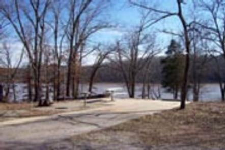
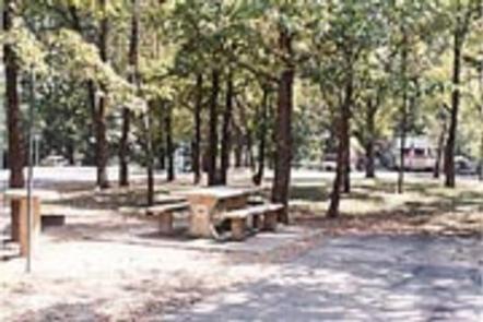
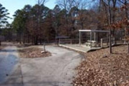
Gamaliel Campground is conveniently located on the Bennetts Bayou area of Norfork Lake. Most sites are shaded beneath tall trees, while others come equipped with canopies to shade the picnic tables.
Norfork Lake boasts plenty of secluded coves for water sports and breezy, open stretches for sailing. There are 19 well-maintained Army Corps of Engineers parks along the lake for bountiful water sport opportunities.
Recreation
Explore the mile-long nature trail that loops from the campground.
Sailing the open waters makes for an exciting water activity. Scuba diving in the lake is common, attracting divers from neighboring U.S. states.
For visitors interested in fishing, Norfork Lake is stocked annually, and it’s not unheard of to catch striped bass over 40 pounds.
Facilities
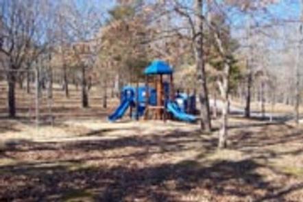
The 64 campsites have electric hookups and drinking water. A boat ramp, playground, swim beach and marina are also on-site.
Most campsites do not have a view of the lake.
Natural Features
Norfork Lake stems from the North Fork River in northern Arkansas. It’s about 25 miles east of Bull Shoals lake, and cuts through the Ozark Mountains.
The Ozarks are made from a heavily eroded plateau, shaped and carved by hundreds of streams over thousands of years. The region attracts a wide array of plants and animals.
Nearby Attractions
Head south to see the Ozark National Forest and head west to see Bull Shoals Lake, a similar man-made lake that’s larger in size and equally entertaining as Norfork.