GUNTER HILL, AL Campground Reservation, Info, Images, Map, Directions

GUNTER HILL, Alabama Campground Images, Info & Reservations

Directions

From I-65, take exit 167 onto US-80 west. Continue for 9 miles, then turn right on County Road 7 and follow signs into the campground.

Phone

334-269-1053

Activities

BIKING, BOATING, CAMPING, FISHING, HUNTING

Keywords

GUNT,JONES BLUFF,ALABAMA RIVERS,WOODRUFF,ROBERT F. HENRY,ROBERT F HENRY,ALABAMA RIV. – WO

Related Link(s)

Rec Area Info & Images

Alabama State Tourism

Alabama State Road Conditions

Overview

Gunter Hill Campground offers a peaceful scene of trees and nature on the backwaters of the Alabama River.

The fishing is excellent, providing challenges for the master angler as well as the occasional cane pole fisherman. Boating, hunting and hiking are popular activities.

Recreation

The area’s waterways offer excellent fishing for crappie, bass and catfish. A boat ramp is provided for easy river access.

The Lowndes Wildlife Management area, located nearby, covers 12,500 acres and offers prime hunting for whitetail deer, wild turkeys and hogs, and a variety of small game and waterfowl.

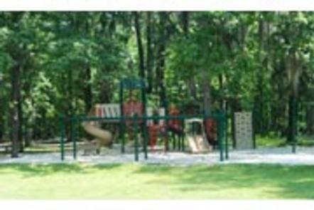
The campground provides a basketball court and playground, offering additional recreation opportunities for visitors.

Facilities

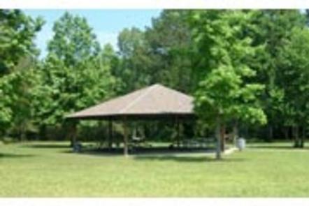
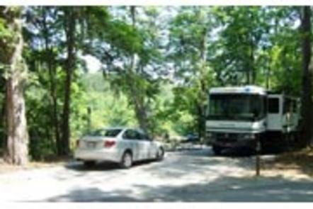
This year-round campground offers 142 sites with electric hookups. Sites 1-75 are newly renovated sites and have concrete pads and sewer. Amenities include flush toilets, showers, drinking water, a dump station and laundry facilities. A picnic shelter is provided for parties and family functions.

Natural Features

The campground is situated on Catoma Creek in a forest of hickory and pine. The region offers a mild climate for year-round camping.

Reservation

More from CampingHiking.net:

SIERRA, California Campground Images, Info & Reservations

Directions From Sierra City travel north on Highway 49, in about 7 miles turn right into the campground. Phone (530)478-6253 Activities CAMPING, FISHING, HIKING, HUNTING, WATER ACCESS, SCENIC DRIVE, GOLD PANNING Keywords SRRA,TAHOE NF – FS Related Link(s) Rec Area Info & Images California State Road Conditions California State Tourism

PAWNEE, Colorado Campground Images, Info & Reservations

Directions From Denver, travel north on Interstate 25 to U.S. Highway 36 West to Boulder. Continue on Colorado Highway 119 (Canyon Boulevard) for 22 miles to Nederland, then go north on Colorado Highway 72 to Ward. Turn left at the sign and travel 5 miles to Brainard Lake Recreation Area.

COAL MINE, New Mexico Campground Images, Info & Reservations

Directions From Grants, take New Mexico State Highway 547 for 10 miles to the campground. Phone 505-287-8833 Activities CAMPING, HIKING, SCENIC DRIVE Keywords COAM,CIBOLA NF – FS Related Link(s) Rec Area Info & Images New Mexico State Tourism New Mexico State Road Conditions Overview Coal Mine Campground is situated in

WILLOW PARK, Wyoming Campground Images, Info & Reservations

Directions From Worland, Wyoming, travel 50 miles east on U.S. Highway 16. Phone 406-587-9054 Activities BOATING, CAMPING, FISHING, HORSEBACK RIDING Keywords WILP,BIGHORN NF – FS Related Link(s) Rec Area Info & Images Overview Willow Park is located about 50 miles east of Worland, Wyoming on the west side of scenic

ALTURAS LAKE INLET, Idaho Campground Images, Info & Reservations

Directions From Highway 75, turn onto Forest Road 205/Alturas Lake Road. Travel approximately 3 miles to the campground. Phone 928-537-8888 Activities BIKING, BOATING, CAMPING, FISHING, HIKING, WATER SPORTS, SWIMMING SITE Keywords ALTL,ALTURAS INLET,SAWTOOTH NF – FS Related Link(s) Rec Area Info & Images Idaho State Tourism Idaho State Road Conditions

MATHEWS ARM CAMPGROUND, Virginia Campground Images, Info & Reservations

Directions From Washington, D.C. metro area, travel west on Interstate 66 to exit 43A. Take US Highway 29 South to Warrenton, Virginia, then take US Highway 211 west for 28 miles to Shenandoah National Park and Skyline Drive Thornton Gap Entrance. Follow Skyline Drive north approximately 9 miles and turn