SPRINGHILL, AR Campground Reservation, Info, Images, Map, Directions

SPRINGHILL, Arkansas Campground Images, Info & Reservations

Directions

From Barling, Arkansas, take SR-59 north for 1.5 miles and follow signs into campground.

Phone

479-452-4598

Activities

BIKING, BOATING, CAMPING, FISHING, HIKING, BIRDING

Keywords

SPRH,JOHN PAUL HAMMERSCHMIDT LAKE,JOHN PAUL HAMMERSC

Related Link(s)

Rec Area Info & Images

Arkansas State Road Conditions

Arkansas State Tourism

Overview

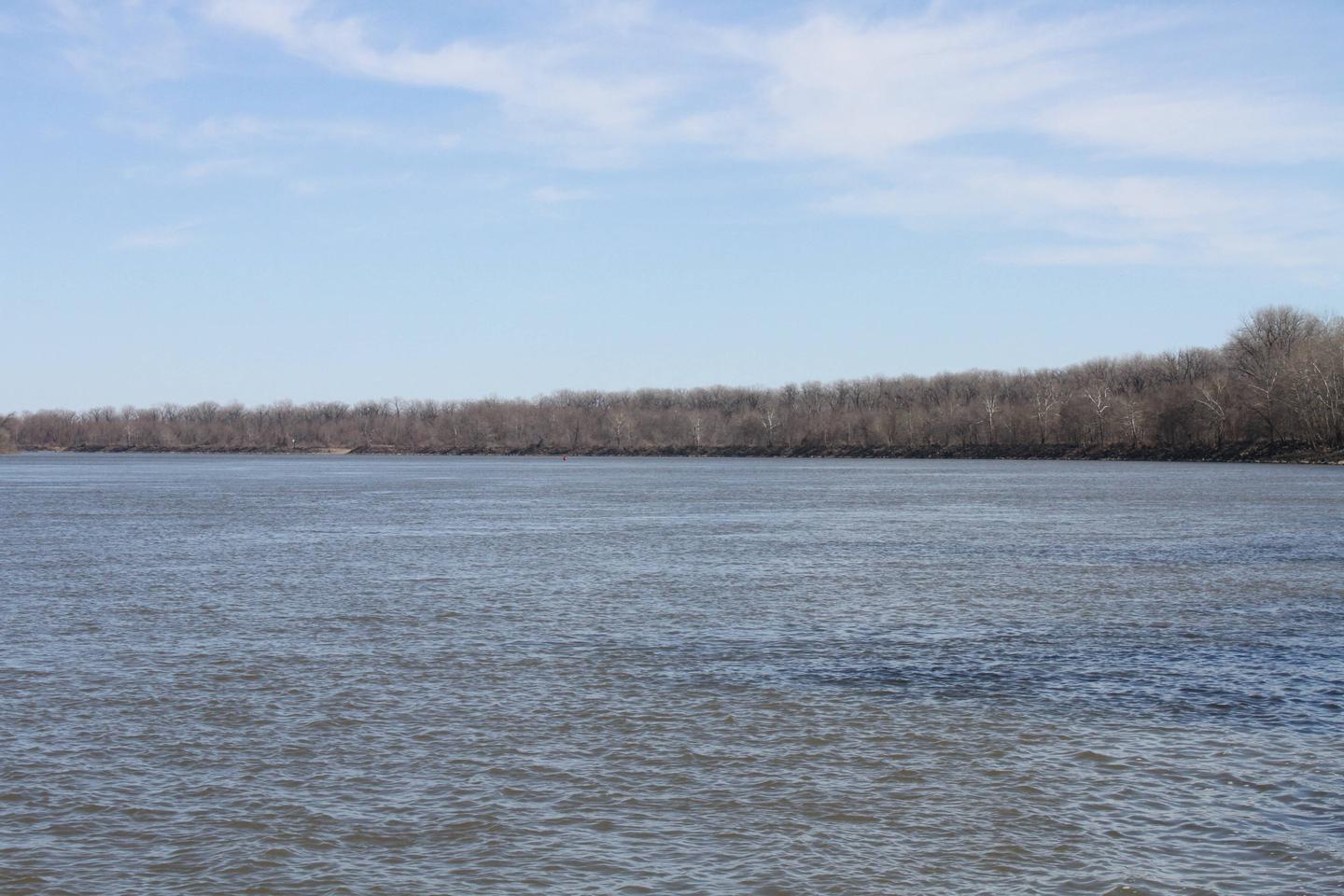
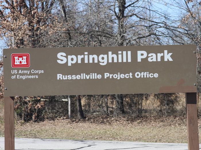
Springhill Park sits along John Paul Hammerschmidt Lake in the lush, rolling hills of Arkansas. Campers come here for boating, swimming, birding and relaxing.

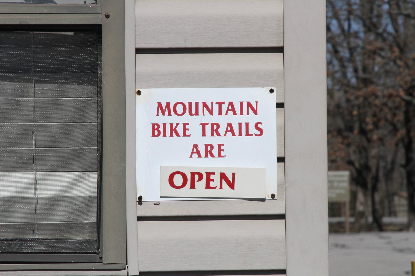
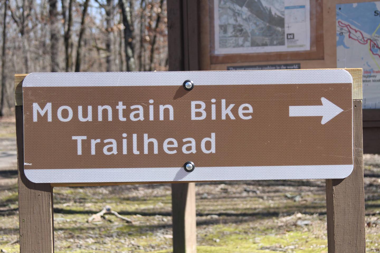
Avid mountain bikers enjoy the Springhill Park Mountain Bike Trail, a 10-mile "fast" trail where experienced bikers race frequently. The trail is also a designated National Recreation Trail.

Recreation

Year-round fishing for catfish, bream, crappie and white and largemouth bass is fantastic in the fertile waters of the Arkansas. From late fall until early spring, the tailwaters immediately below the lock and dam boasts some of the best sauger fishing in the country.

Facilities

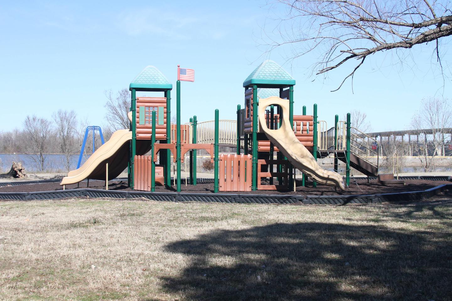
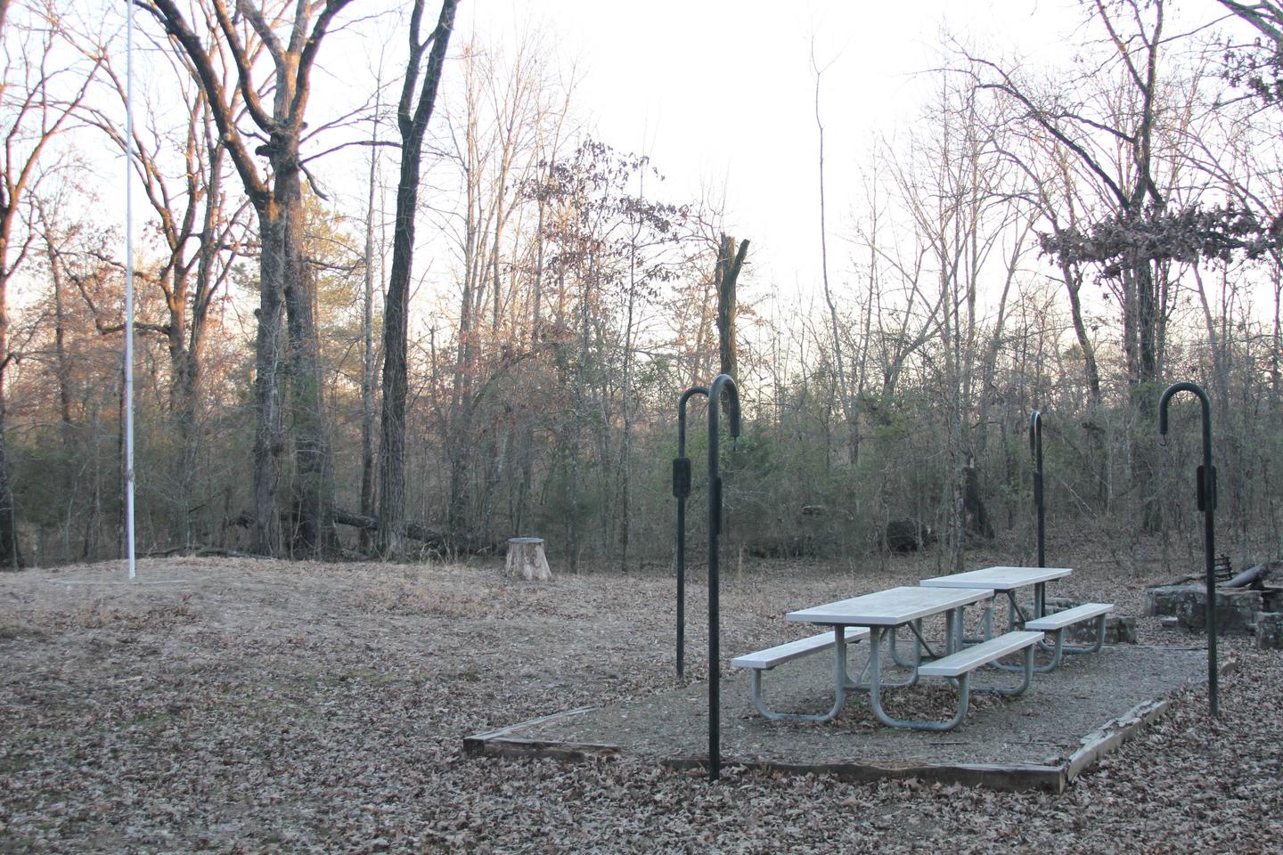
Springhill Park offers several spacious sites with electric hookups, along with four large group picnic shelters. Additional amenities include showers, a dump station, playground and boat ramps.

Natural Features

John Paul Hammerschmidt Lake is on the James W. Trimble Lock and Dam of the Arkansas River. Some campsites line the river while others sit between the lake and Massard Creek.

Bottomland hardwood timber banks, steep bluffs and open agricultural fields create the scenery.

Nearby Attractions

The Fort Smith Museum of History is located about 20 minutes away.

Reservation

More from CampingHiking.net:

KELLEY GUARD STATION, Wyoming Campground Images, Info & Reservations

Directions From Kemmerer, WY, follow U.S. Highway 189 north to the junction of Wyoming Highway 233 and Ham’s Fork Road. Turn left on Ham’s Fork Road and drive about 38 miles (the first 19 miles of this road is paved) to Ham’s Fork Campground. Just past the campground, take the

QUINN RIVER CAMPGROUND, Oregon Campground Images, Info & Reservations

Directions From Bend, travel about 50 miles southwest on Cascade Lakes Hwy (46). Campground will be on left-hand side of the highway. Phone 541-323-1746 Activities CAMPING Keywords Related Link(s) Rec Area Info & Images Oregon State Road Conditions Oregon State Tourism Overview Quinn River Campground is located on the western

MANITOU LAKE PAVILION, Colorado Campground Images, Info & Reservations

Directions From Colorado Springs, travel on US Highway 24 approximately 18 miles to Woodland Park. Take Highway 67 north about 7 miles. Manitou Lake is on the right (east) side of the highway 1 mile north of Colorado Campground. Phone 719-636-1602 (INFORMATION ONLY, NO RESERVATIONS TAKEN AT THIS NUMBER) Activities

REDSTONE, Colorado Campground Images, Info & Reservations

Directions Take I-70 west of Denver to exit 116 (Highway 82 East Glenwood Springs/Aspen). Follow 82 E for about 12 miles, then turn right onto Highway 133 south. Drive about 15 miles, then turn left at north entrance to the town of Redstone, CO. Campground is on left. Phone 970-927-0107

ROARING RIVER (GROUP), Oregon Campground Images, Info & Reservations

Directions From Eugene, Oregon, take I-105 east to McKenzie Highway 126 just past Milepost 45. Turn South on Aufderheide Drive/Forest Service Road 19 and travel for 22 miles to campground. Entry is through a locked gate with a combination. Phone 541-822-3381 Activities CAMPING, FISHING Keywords ROAR,WILLAMETTE NF -FS Related Link(s)

FISH CREEK (OR), Oregon Campground Images, Info & Reservations

Directions From Estacada, travel east on Highway 224 for approximately 16 miles. Phone 503-630-5721 Activities BIKING, BOATING, CAMPING, FISHING, HIKING, WATER SPORTS Keywords FLI1,MT. HOOD NF – FS Related Link(s) Rec Area Info & Images Oregon State Road Conditions Forest Service Concessionaire Oregon State Tourism Overview Fish Creek Campground is