WOLF CREEK (Navarro Mills Lake), TX Campground Reservation, Info, Images, Map, Directions

WOLF CREEK (Navarro Mills Lake), Texas Campground Images, Info & Reservations

Directions

From Corsicana or Waco, Texas, travel on State Highway 31 toward the lake. Turn north onto FM 667 and continue about 3 miles to the intersection with FM 639. Turn west and continue about 2 miles into the park entrance.

Phone

254-578-1431

Activities

BOATING, CAMPING, FISHING

Keywords

WOL2,NAVARRO MILLS LAKE,WOLF CREEK 1,NAVARRO MILLS LAKE

Related Link(s)

Rec Area Info & Images

Texas State Tourism

Texas State Road Conditions

Overview

Wolf Creek Park is located on the northern shore of Navarro Mills Lake in central Texas.

Visitors can enjoy a view of the lake from the facility and participate in popular outdoor actives like camping, boating, fishing and picnicking. The lake area provides the perfect setting to get away from it all, especially for city-dwellers from the nearby Dallas-Fort Worth metro area.

Recreation

Birdwatching is a favorite year-round pastime for lake guests. Many species of songbirds, hawks, great blue herons, ducks, geese, other shorebirds and even an occasional bald eagle visit the area.

Fishing is also popular at Navarro Mills, and the lake holds the current state record for white crappie. Fishermen come from near and far to sample some of the best crappie fishing anywhere.

There are also healthy populations of channel and yellow catfish, and hefty hybrid stripers are often caught below the dam when water is being released. Liberty Hill has a fishing pier, and there is a full-service marina at the lake.

Facilities

Wolf Creek Park offers 50 campsites with water and electric hookups, 22 non-electric sites, two double sites and one group site. Public restrooms with showers, a group picnic shelter, fishing pier, dump station and a two-lane boat ramp with a courtesy dock are provided within the facility.

Natural Features

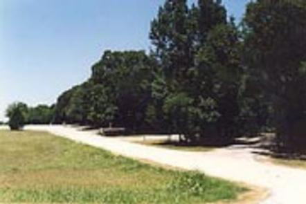
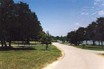
Most of the campsites are partly shaded, and Wolf Creek is also a favorite viewing area for wildflowers. The brilliant array of native flowers draws visitors from all over to the lake area during the spring. Bluebonnets, paintbrushes and a myriad of other native plants transform the often-bleak winter landscape into an incredible palette of colors. A wide variety of habitat provides a home and abundant food supply to diverse wildlife. Visitors might stumble across squirrels, rabbits, coyotes, foxes, bobcats, white-tailed deer, raccoon or armadillo.

Reservation

More from CampingHiking.net:

PARKSVILLE LAKE RV CAMPGROUND, Tennessee Campground Images, Info & Reservations

Directions From Highway 64/411 intersection, travel Hwy. 64 east approximately 9.5 miles, turn onto Highway 30 for 0.25 mile. RV sites are located on the left, group tent camping on the right. Phone 423-338-3300 Activities BOATING, CAMPING, FISHING, HIKING, SWIMMING, MOUNTAIN BIKING, KAYAKING, CANOEING, NON-MOTORIZED BOATING, WATER ACCESS, RAFTING, RIVER

RESERVOIR CAMPGROUND, Oregon Campground Images, Info & Reservations

Directions From Bend, OR: Travel about 58 miles southwest on Cascade Lakes Hwy (46), then 2 miles east on Forest Road 44. Phone 541-323-1746 Activities CAMPING Keywords Related Link(s) Rec Area Info & Images Oregon State Road Conditions Oregon State Tourism Overview Reservoir Campground is located next to Wickiup Reservoir

COTTONWOOD CAMPGROUND (CA), California Campground Images, Info & Reservations

Directions The park headquarters address is not the physical address of the campground. To get to the campground, take Interstate 10 to the I-10 exit 168 Mecca/Twentynine Palms exit and follow signs to Joshua Tree National Park. The exit is 25 miles east of Indio, California. Phone 760-367-5554 Activities CAMPING,

SKULL CREEK, Utah Campground Images, Info & Reservations

Directions Located off Highway 44, just west of the junction of Highways 44 and 191 in the Flaming Gorge area, about 35 miles north of Vernal, Utah. Phone 435-784-3445 Activities BIKING, BOATING, CAMPING, FISHING, HIKING, WILDLIFE VIEWING Keywords SKUL,SKULL CREEK,FLAMING GORGE,ASHLEY NF – FS,Flaming Gorge National Recreation Area Related Link(s)

FOX CREEK CABIN (MT), Montana Campground Images, Info & Reservations

Directions There is no motorized access to this cabin. There are two travel options to Fox Creek Cabin: 1. South Cottonwood Trailhead. From Bozeman, MT: Drive south on S. Cottonwood Road for about 7 1/2 miles. Turn left onto Cottonwood Canyon Road and drive about 2.1 miles to the end