
Directions
From Kernville, go 6.5 miles north on Sierra Way (Mountain 99) to the campground.
Phone
760-376-1815
Activities
BOATING, CAMPING, FISHING, SWIMMING SITE
Keywords
HOSP,KERN RIVER,UPPER KERN CANYON,SEQUOIA NF – FS
Related Link(s)
California State Road Conditions
Overview
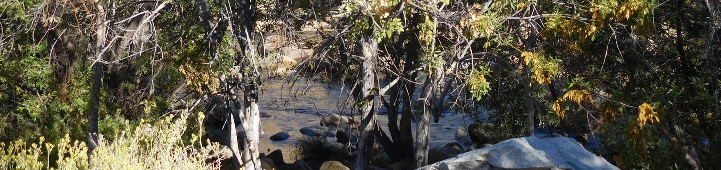
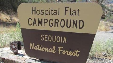
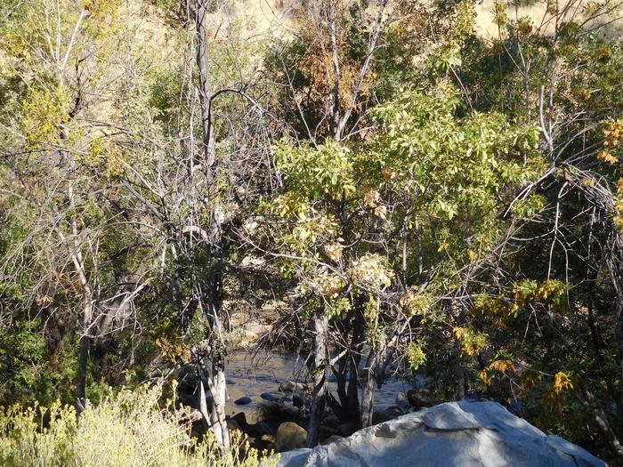
Hospital Flat Campground is situated along the Kern River, 6.5 miles north of the town of Kernville. Hiking, fishing, kayaking and rafting are popular activities.
Recreation
Hiking, fishing, kayaking and rafting are popular activities in the Upper Kern River area. Click here to learn more about the area, including safety and permitting requirements and a listing of local outfitters.
Facilities
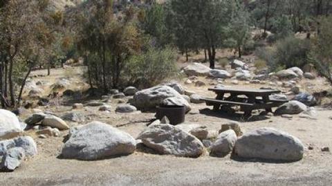
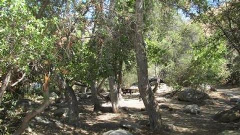
The campground offers several single-family sites on a single loop along the river. Picnic tables and campfire rings are provided, as are vault toilets and drinking water.
Natural Features
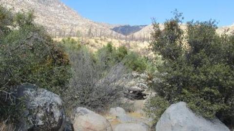
The campground sits within Sequoia National Forest at an elevation of 3,000 feet in an open area overlooking the Kern Wild and Scenic River. Gray pine, scrub oak, grasses and shrubs cling to steep, canyon walls along the river, and cottonwoods and willows line the riverbanks.
Sequoia National Forest, located at the southern end of the Sierra Nevada in central California, is named for the giant sequoia, the world’s largest tree, which grows in more than 30 groves on the forest’s lower slopes.
The forest comprises about 1.1 million acres. Elevations range from about 1,000 to 12,000 feet, creating precipitous canyons and mountain streams with spectacular waterfalls such as Salmon Creek Falls and Grizzly Falls.
Nearby Attractions
The Cannell Meadow National Recreation Trail begins just north of Kernville. The trail stretches 11.5 miles as it climbs through mixed pine and fir forest to Cannell Meadow and a historic Forest Service cabin built between 1904 and 1909. Hikers are awarded beautiful views of the Kern River Valley along the trip.
Visitors enjoy making day trips to Sequoia National Park and Giant Sequoia National Monument.