

Directions
From Truckee, take Highway 89 south approx. 1 mile to the campground.
Phone
(530)587-3558. FOR RESERVATIONS, PLEASE CALL: 1 (877) 444-6777.
Activities
BIKING, CAMPING, FISHING, HIKING, WATER SPORTS, SWIMMING, MOUNTAIN BIKING
Keywords
GRFL,GRANITE FLAT CALIFORNIA,TAHOE NF – FS
Related Link(s)
California State Road Conditions
Overview
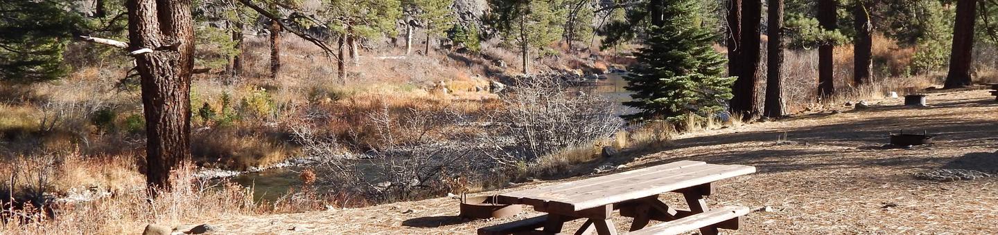
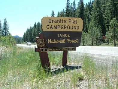
Granite Flat Campground is located between the Truckee River and Highway 89, just one mile from Truckee and a short distance from Tahoe City. Visitors enjoy the area for its fishing and hiking opportunities, as well as its proximity to Lake Tahoe. This facility is operated and maintained by the Tahoe National Forest.
Recreation
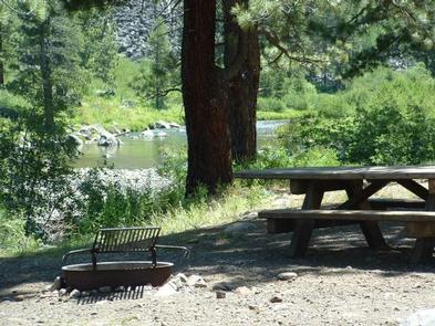
Fly-fishing for rainbow trout on the Truckee River is a popular activity enjoyed by visitors to the area. Campers also enjoy swimming and tubing on the river. The surrounding area offers numerous hiking and biking trails, including the Western States Trail, Five Lakes Trail, and Pacific Crest Trail.
Facilities
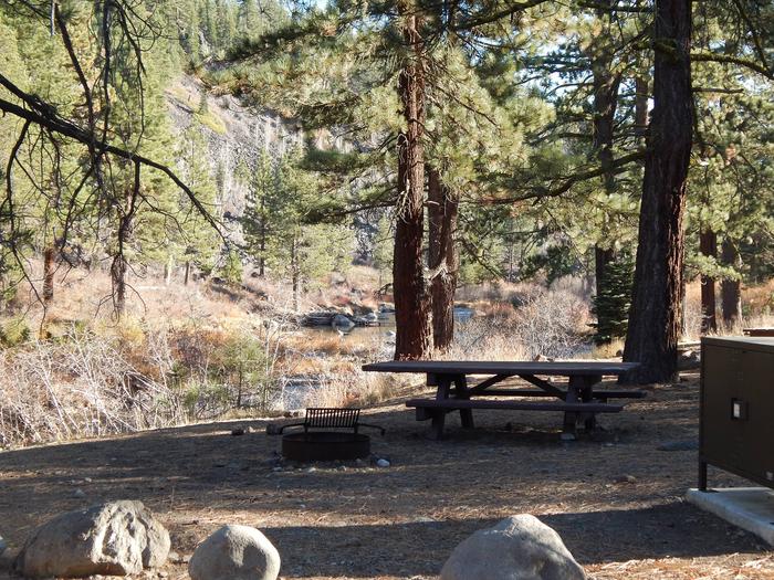
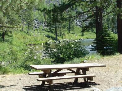
The campground offers several single-family and a few double campsites, some of which are accessible. Each site is equipped with a picnic table, campfire ring and bearproof food storage locker. Vault toilets and drinking water are provided. Seven campsites are walk-in tent sites with parking provided outside the campsite: #69, #70, #71, #72, #73, #74, and #75. Please be aware that the following campsites are located adjacent to busy Highway 89 and more subject to motor vehicle noise: #7, #9, #11, #13, #15, #17, #19, #21, #23, #47, #49, #51, #53, #67, and #68.
Natural Features
The campground is situated on the banks of the Truckee River. A scenic forest of Jeffrey and lodgepole pine trees covers the area.
Nearby Attractions
Granite Flat is centrally located between the town of Truckee and Prosser, Boca and Stampede reservoirs to the north, as well as Lake Tahoe and Squaw Valley to the south. A variety of outdoor recreational activities are available at each location. Truckee, 1 mile north, offers all the amenities of a year round recreational mountain town including interstate highway connectivity, top notch restaurants, resorts and hotels, grocery stores, gas stations, shopping, and historic sites. Lake Tahoe is located 15 minutes south and offers excellent boating, kayaking, fishing, hiking and scenic driving opportunities, as well as dining, shopping and lodging options. Other recreational opportunities include Donner Camp Interpretive Trail, Overland Emigrant Commemorative Trail, Stampede Reservoir Recreation Area, Prosser Pits OHV area, and numerous hiking, mountain biking, and OHV trails.