MAUMELLE, AR Campground Reservation, Info, Images, Map, Directions

MAUMELLE, Arkansas Campground Images, Info & Reservations

Directions

From Little Rock, Arkansas, travel west on SR-10. Turn north on Pinnacle Valley Road and follow signs into campground. 9009 Pinnacle Valley Road Little Rock, AR 72223

Phone

501-868-9477

Activities

BOATING, CAMPING, FISHING, HIKING

Keywords

MAUM,MURRAY LOCK AND DAMR – ARK.RIV,MURRAY LOCK & DAM

Related Link(s)

Rec Area Info & Images

Arkansas State Tourism

Arkansas State Road Conditions

Overview

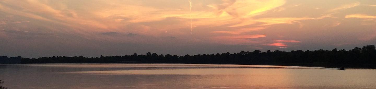
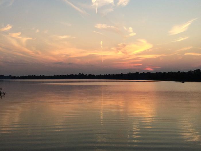
Maumelle Campground sits along the beautiful Arkansas River, offering boating, fishing and birding for outdoor enthusiasts.

Recreation

The Nuttall Trail runs through the park, offering visitors hiking opportunities. Anglers will find a selection of crappie, bream, hybrid bass, white bass and more.

A boat ramp is provided for campers to enjoy the river.

Facilities

Maumelle Campground offers 128 spacious campsites with electric hookups, along with eight large group picnic shelters. Amenities include a dock, hot showers, a boat ramp and playground.

Natural Features

The campground is set on the McClellan-Kerr Arkansas River Navigation System, a series of navigation pools used to help ships navigate upstream toward Oklahoma.

The Arkansas River is one of the Mississippi’s largest tributaries, flowing 1,450 miles from the Rocky Mountains of Colorado, through to Kansas, Oklahoma and Arkansas.

Wintering eagles can be seen in large numbers along the Arkansas River. Most of these eagles migrate from Canada and the U.S. Great Lakes region.

Nearby Attractions

The Pinnacle Mountain State Park is just two miles from the campground. The 13 mountain trails here range from easy to strenuous, and each one promises captivating scenery.

Reservation

More from CampingHiking.net:

KEYSTONE RANGER STATION, Wyoming Campground Images, Info & Reservations

Directions From Laramie, take Highway 130 west, then State Highway 11 to Albany, WY. The cabin is located 8 miles west of Albany, on Forest Service Road 542. In the winter, access to the cabin is 8 miles by snowmobile, skiing or snowshoeing from Albany Snowmobile Parking Lot. Phone 307-745-2300

SOUTH SANDUSKY CAMPGROUND, Illinois Campground Images, Info & Reservations

Directions From I-57 take exit 71 and turn west onto Route 14. After 3 miles turn right on Rend City Road, then continue for 6 miles to the campground entrance on the right. Phone 618-724-2493 Activities BIKING, CAMPING, INTERPRETIVE PROGRAMS, FISHING, HIKING, WILDLIFE VIEWING, SWIMMING SITE, STAR GAZING Keywords SSAN,REND

VERMILLION, California Campground Images, Info & Reservations

Directions From Clovis, take Highway 168 east to Shaver Lake. Continue through Shaver Lake to Huntington Lake. At the east end of Huntington Lake, turn right on the Kaiser Pass Road (at Eastwood Visitor Center). Travel 17 miles to the Edison Lake Road. Turn left toward Edison Lake and travel

APACHE MAID CABIN, Arizona Campground Images, Info & Reservations

Directions From Phoenix, travel north on Interstate 17 to exit 306 (Stoneman Lake Road/Forest Road 213). Go east on Stoneman Lake Road for approximately 6.5 miles, to the junction with Forest Road 229. Turn right onto Forest Road 229 and go 4.5 miles to Forest Road 230. Veer right, continuing

EAGLE CABIN, Alaska Campground Images, Info & Reservations

Directions The cabin is located 8 air miles east of Yakutat on the east bank of Situk River. Access is by trail, boat or wheeled aircraft. From Nine Mile Bridge on Forest Highway 10, hike the 3-mile trail or boat 3.2 miles downriver (1.5 hour float). The cabin 9.6 miles