Directions
From Plainview, Arkansas, take Route 60 east for 5.5 miles to the Access Road, then follow signs into campground.
Phone
479-272-4324
Activities
BOATING, CAMPING, FISHING, SWIMMING
Keywords
Garden Point
Related Link(s)
Arkansas State Road Conditions
Overview
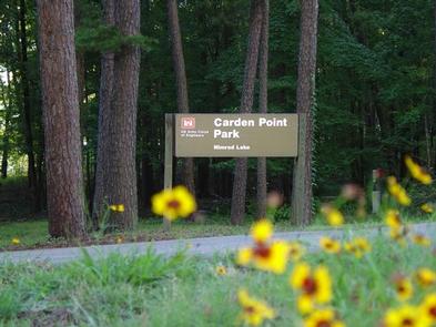
Carden Point Day Use Park sits along the shores of Nimrod Lake and Dam, cradled between Arkansas’ Ouachita and Ozark Mountains.
Recreation
Fishing is one of the most popular activities at the lake, with an abundance of catfish, bluegill, bass and crappie available. Boating, water skiing and tubing are also popular, with 11 boat ramps conveniently located around the lake, however, skiing and tubing are only allowed from the tip of Carden Point eastward toward the dam because areas west of there are too hazardous. Visitors are likely to spot white-tailed deer, eastern wild turkey, bobwhite quail, squirrel, rabbit, fox, mink, black bear, dove and waterfowl in the area. Seasonal hunting is also permitted throughout the lake, except in or near recreation areas.
Facilities
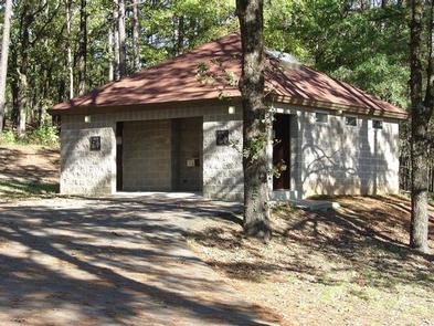
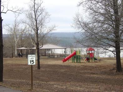
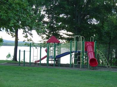
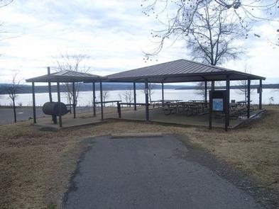
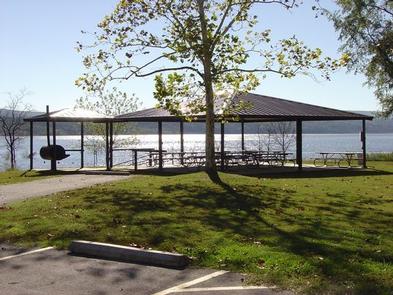
Carden Point features a large day use group picnic shelter, with drinking water, grills and tables. A playground, horseshoe pit and swimming beach make the area ideal for large parties or family functions.
Natural Features
Nimrod Dam was completed in 1942 as part of a comprehensive plan for flood control and development of water resources in the Fourche LaFave River. Although recreation was not part of the initial mission of the dam project, the lake and surrounding 21,000 acres of pristine land have now become a recreational oasis for outdoor enthusiasts.
Nearby Attractions
Nimrod Lake is conveniently located adjacent to State Highway 7, a National Scenic Byway and other nearby points of interest like Petit Jean State Park, Mount Nebo State Park and Hot Springs National Park.

