HIGHWAY 9 LANDING, OK Campground Reservation, Info, Images, Map, Directions

HIGHWAY 9 LANDING, Oklahoma Campground Images, Info & Reservations

Directions

From Eufaula, Oklahoma, take Highway 9 east for 9 miles, then follow signs to the campground.

Phone

918-799-5843

Activities

BOATING, CAMPING, FISHING, SWIMMING SITE

Keywords

HINL,EUFAULA LAKE,EUFAULA LAKE

Related Link(s)

Rec Area Info & Images

Oklahoma State Road Conditions

Oklahoma State Tourism

Overview

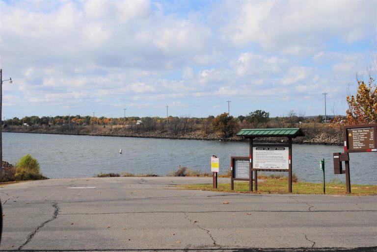
Highway 9 Landing Campground sits along the beaches of Eufaula Lake in the green hills of Oklahoma.

Recreation

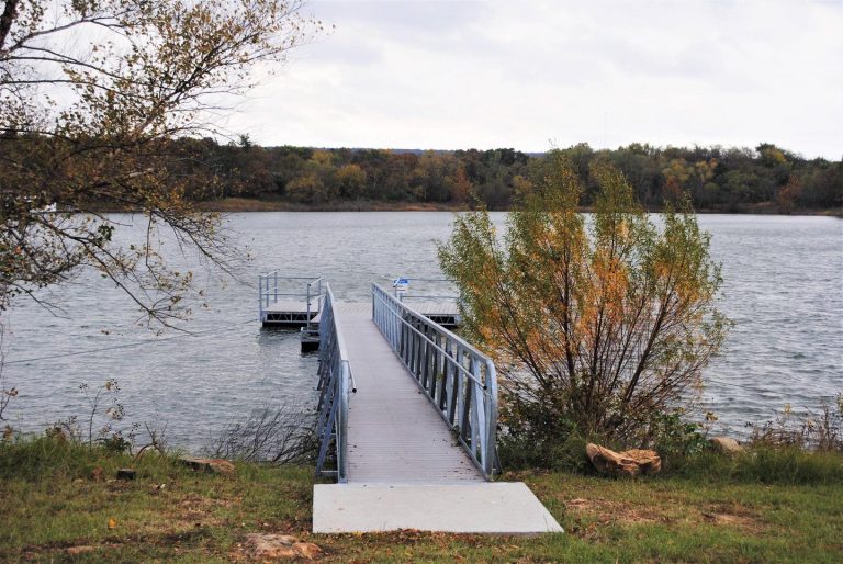
Eufaula Lake has long been recognized for its outstanding fishing. Crappie, sand bass, catfish, and black bass in the lake reach record size. Below the dam, striped bass reaching over 40 pounds have been caught in the tailwaters.

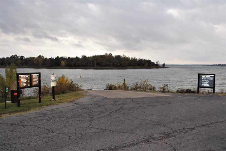
Boating and kayaking are also popular activities, and a boat ramp is provided at the campground for easy lake access. A sandy swimming beach located at the campground offers an alternative way to cool off in the summer heat.

A variety of hiking trails wind throughout the hills and along the shoreline, offering additional activities for campers.

Facilities

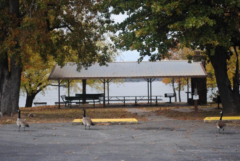
Highway 9 Landing Campground offers 80 campsites spread out along the lake shore, along with one large reservable group picnic shelter that can accommodate up to 100 guests. A boat ramp, playground and nearby marina help visitors enjoy the lake.

Natural Features

Eufaula Lake is the largest lake located entirely in the state of Oklahoma. It is located on the Canadian River, 27 miles upstream from its confluence with the Arkansas River. The dam, completed in 1964 and dedicated by President Lyndon B. Johnson, was originally built for flood control.

With over 600 miles of shoreline and 102,000 surface acres of water, Eufaula Lake offers a variety of recreational opportunities. The shoreline ranges from vast expanses of sandy beaches to rocky bluffs, and the scenery is especially beautiful during the fall months, when visitors are treated to an array of vivid autumn colors.

Nearby Attractions

Robber’s Cave State Park and two other state parks located on Eufaula Lake offer a variety of recreational experiences, including golf courses, swimming pools and hiking trails.

The historic town of Eufaula offers an array of antique shops and restaurants.

Reservation

More from CampingHiking.net:

SUNNY GULCH CAMPGROUND, Idaho Campground Images, Info & Reservations

Directions From Stanley, Idaho, take Highway 75 south approximately 3 miles. Campground is on the north side of the road, between the highway and the Salmon River. Phone 928-537-8888 Activities CAMPING, FISHING, HIKING Keywords SUNN,SAWTOOTH NF – FS Related Link(s) Rec Area Info & Images Forest Service Concessionaire Idaho State

CAVE CREEK, Kentucky Campground Images, Info & Reservations

Directions Begin at ramp onto Gene Snyder Freeway KY-841W toward I-65, traveling 6.5 miles. Take I-65/Louisville/Nashville, Exit Number 10, onto I-65 S toward Nashville/Elizabethtown, traveling 34 miles. Take US-31W/KY-62/Wendell H Ford Western Kentucky Parkway/Hodgenville/Paducah, Exit Number 91, toward Paducah/Elizabethtown/Owensboro/Western Kentucky Parkway W, traveling 29.6 miles. Take KY-259/Leitchfield/Brownsville, Exit Number 107,

BLUE CREEK, Oklahoma Campground Images, Info & Reservations

Directions From Tulsa, OK, take U.S. Highway 169 north for 23 miles to Highway 88. Turn right and continue for nearly 6 miles. Turn right onto Edgewater Road, then left on Spencer Creek Road. After about a mile turn left onto Blue Creek Road and continue into the campground. Phone

DEER FLAT BOAT IN CAMPGROUND, California Campground Images, Info & Reservations

Directions From Stockton California, take State Highway 26 east for 30 miles. Turn right on Hogan Dam Road and continue for 3 miles, then follow signs to the Park Headquarters. The Observation Point and Picnic Shelter is located at the Park Headquarters parking lot. Phone 209-772-1343 Activities BOATING, CAMPING, FISHING,

STRAWBERRY CABIN, Montana Campground Images, Info & Reservations

Directions Located about 15 miles south of Helena. From Interstate 15, take exit 187 for Montana City/MT-518. East on Jackson Creek road for 0.5 miles. Turn right/south onto Johns St (Papa Rays Pizza) and continue onto McClellan Creek road for four miles. Turn right/south onto Warm Springs Creek/Strawberry Lookout Rd