LITHIA SPRINGS, IL Campground Reservation, Info, Images, Map, Directions

LITHIA SPRINGS, Illinois Campground Images, Info & Reservations

Directions

From Shelbyville, Illinois, go three miles east of Shelbyville on State Route 16 to County Road 2200E. Turn left and go two miles to County Road 1500N. Turn left again and drive 1.4 miles to the campground.

Phone

217-774-3951

Activities

BOATING, CAMPING, FISHING, VISITOR CENTER, DAY USE AREA, SWIMMING SITE

Keywords

LISP,LAKE SHELBYVILLE

Related Link(s)

Rec Area Info & Images

Illinois State Road Conditions

Illinois State Tourism

Overview

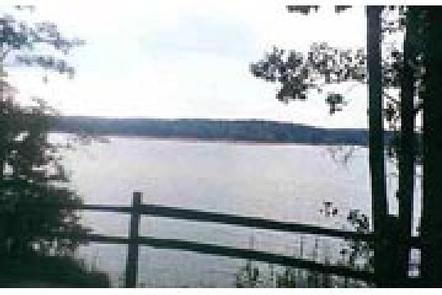
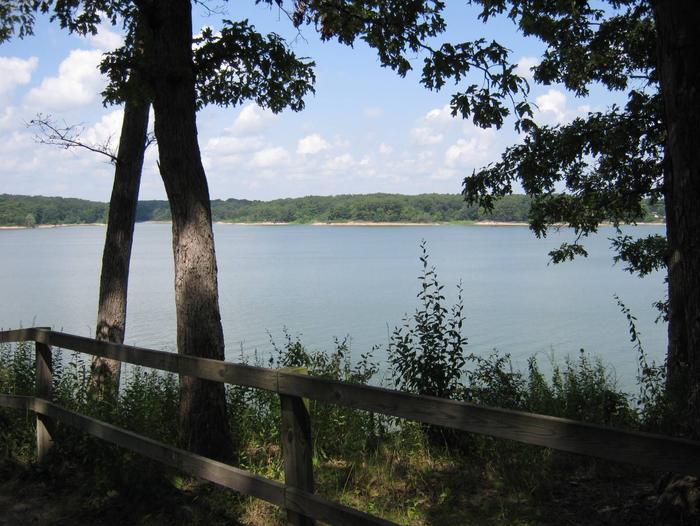
Lithia Springs Campground sits on the eastern shore of Lake Shelbyville in the heart of central Illinois.

This facility has a variety of amenities and offers outdoor activities for people of all ages, including fishing, swimming, picnicking and simply relaxing.

Recreation

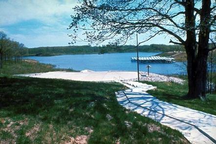
Lake Shelbyville offers a multitude of fishing opportunities for catfish, crappie, largemouth bass, muskie, walleye, white bass and bluegill. Lithia Springs provides a boat ramp, and for those without a boat, several ponds with farmed fish are available around the lake.

Hunting areas within a short drive offer numerous game species, including quail, rabbit, pheasant, deer, dove, turkey, waterfowl and woodcock.

Facilities

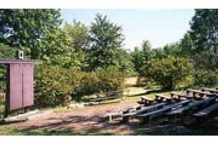
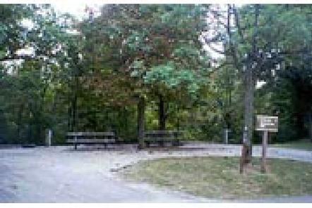
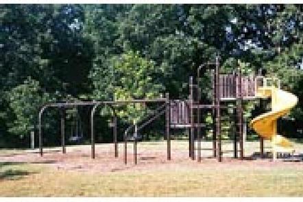
Lithia Springs has more than 100 campsites, all of which have electric hookups. Some campsites are on the lake shore within a short walk of the water. Amenities include flush toilets, showers, a playground, swimming beach, dump station and boat ramp. A full-service marina is located adjacent to the recreation area.

Natural Features

The campground lies in an oak and hickory forest. Foliage turns a variety of red, orange, purple and yellow each fall, while prairie flowers dot the landscape in spring and summer.

Numerous species of songbirds, shorebirds, waterfowl and raptors inhabit the lake area, as do mammals such as cottontail rabbit, white-tail deer, gray and fox squirrel, muskrat and mink.

Nearby Attractions

Wolf Creek State Park, Woods Lake Waterfowl Refuge and Okaw Bluff Wetlands Complex are popular locations for wildlife watching, birding and hunting near Lake Shelbyville.

Reservation

More from CampingHiking.net:

Linville Falls Campground, North Carolina Campground Images, Info & Reservations

Directions From I-40 East, take Highway 221 north to the Blue Ridge Parkway at Linville Falls. Go north for one mile to Linville Falls Spur Road, located at Milepost 317, and continue a half mile to the campground. Phone 828-765-7818 (MAY-OCTOBER) Activities CAMPING, INTERPRETIVE PROGRAMS, FISHING, HIKING, PICNICKING, VISITOR CENTER,

BUTTE LAKE, California Campground Images, Info & Reservations

Directions From Redding, California drive 63 miles east on State Highway 44 to Old Station. From the intersection of 44 and State Highway 89, continue east on 44 for 11 miles. Watch for sign to Butte Lake Campground. Turn right and continue for six miles on a rough gravel road.

PARKER CREEK, Arkansas Campground Images, Info & Reservations

Directions From Texarkana, Arkansas, take Interstate 30 east for 46 miles to Prescott. Continue onto Highway 19 north to Narrows Dam. After crossing the bridge across the Little Missouri River, proceed about 3 miles to the campground. Phone 870-285-2151 Activities BOATING, CAMPING, FISHING, HIKING, HUNTING, SWIMMING SITE Keywords PARR,Couch Valley,LAKE

DAVIS CANYON CAMPGROUND, Utah Campground Images, Info & Reservations

Directions Take U.S. Highway 89 north from Garden City, Utah, or south from Montpelier, Idaho, to St. Charles. Drive west from St. Charles along Forest Road 412 about 6 miles to the campground. Phone 541-351-1182 Activities BOATING, CAMPING, FISHING, HIKING, HUNTING Keywords None Related Link(s) Rec Area Info & Images

BEN ROVER CABIN, Montana Campground Images, Info & Reservations

Directions Ben Rover Cabin is located 35 miles north of Columbia Falls, on North Fork Road (County Road 486). From Columbia Falls, travel north on Nucleus Avenue. Turn east at the stop sign, on Railroad Street. The road becomes the North Fork Road as it travels over the railroad overpass.

INDIAN CREEK (UT), Utah Campground Images, Info & Reservations

Directions From Orangeville, Utah, travel northwest on State Route 29 for approximately seven miles. Turn onto Cottonwood Creek Road 040 and travel north for 12 miles, to Upper Joe’s Valley. Continue to the campground. Phone 435-384-2372 Activities BIKING, CAMPING, FISHING, HIKING Keywords IND1,MANTI-LASAL NF -FS Related Link(s) Rec Area Info