Directions
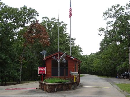
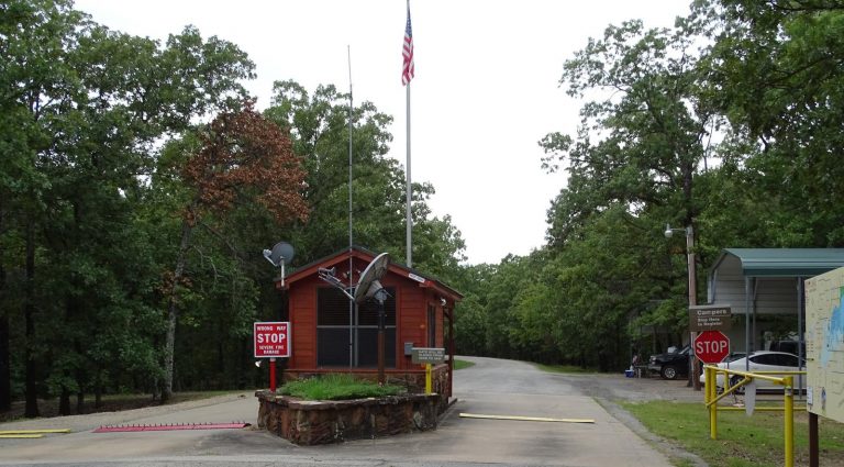
From Hugo, OK, take Highway 70 east for 10 miles, then turn north onto Highway 147. Continue for 2 miles and follow the posted signs to the campground.
Phone
580-326-0173
Activities
BIKING, BOATING, CAMPING, FISHING, HIKING, HUNTING, WATER SPORTS, WILDLIFE VIEWING
Keywords
VIRP,HUGO LAKE,HUGO LAKE
Related Link(s)
Oklahoma State Road Conditions
Overview
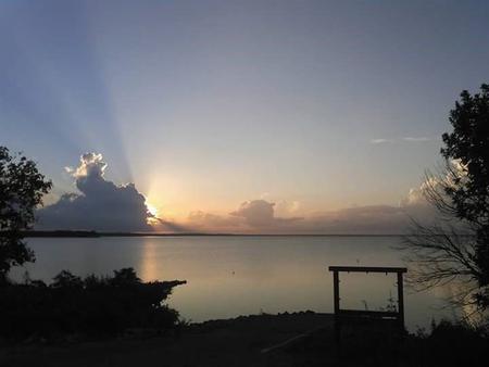
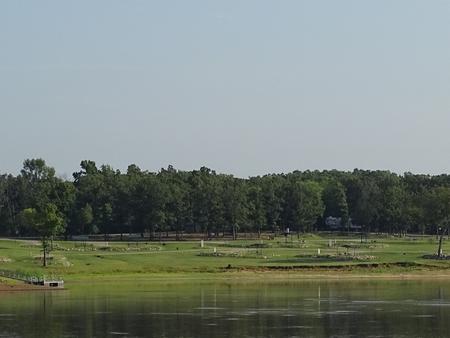
Virgil Point Campground is a large, grassy campground in a forested expanse of southeast Oklahoma. The camp is perched along the banks of Hugo Lake, providing guests with plenty of recreational opportunities.
Recreation
Hugo offers activities for many differetn types of recreation.
There are always fish to be caught in the Kiamichi River and in Hugo Lake. The northern half of Hugo Lake is flooded timber, which offers exceptional fishing opportunities. From early sand bass and slab crappie to late season fall bass, anglers will always find opportunities. The catfishing is excellent during the summer.
Hunters are welcome to enjoy over 25,000 acres of land managed by either the Army Corps of Engineers or Oklahoma Department of Wildlife Conservation. Bow hunting is permitted in and around most the park areas. Kiamichi Park features an archery practive range, a shooting range, and a 3,000-acre Quality Deer Management Area.
Recreational boaters enjoy the wide open lower lake, with it’s open water, beautiful limestone rock walls, and sandy banks.
Nature abounds at Hugo Lake. Wildlife around the lake includes land and waterfowl, whitetail deer, mink, fox and beaver.
Facilities
Virgil Point Campground features 51 spacious, modern campsites. A boat ramp is available to enhance visitor’s enjoyment of the lake.
Natural Features
Hugo Lake Dam is located on the Kiamichi River, 18 river miles upstream from its confluence with the Red River. The dam, completed in 1974, provides flood control, water supply and fish and wildlife management for nearby communities. It also provides a recreational oasis for outdoor enthusiasts of all types.
Nearby Attractions
A number of historical attractions are located near Hugo Lake, including Native American cultural centers, Civil War headquarters, historic churches and schools. Visit the lake website for more information.
Charges & Cancellations
A $10.00 service fee will apply if you change or cancel your reservation. Late cancellations are subject to additional fees. For full details see Recreatoin1Stop Reservation Policy.


