

Directions
From Park Falls, travel east on State Highway 182 for about 21 miles. Turn right on Forest Road 144, and after approximately five miles turn left on Forest Road 142. Continue for two miles to the campground entrance.
Phone
715-762-2461
Activities
BIKING, BOATING, CAMPING, FISHING, HIKING, HUNTING, WILDLIFE VIEWING, MOUNTAIN BIKING, CANOEING, STAR GAZING
Keywords
TWLK,CHEQUAMEGON-NICOLET NF – FS
Related Link(s)
Wisconsin State Road Conditions
Overview
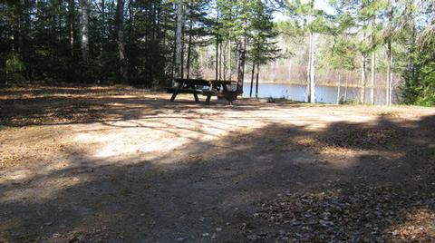
Tucked in a forest of pines, evergreens and hardwoods, Twin Lakes campground overlooks the sparkling blue Twin Lake, offering a secluded oasis for both tent and RV campers.
Recreation
Boating and fishing are popular activities on the lake, with excellent trout and pan fish available.
The area holds many opportunities to encounter rare species of fish, wildlife and plants. Bird watching, nature study programs and viewing the vivid fall foliage are also among popular activities for visitors.
Nearby hunting opportunities for big game, upland game birds, waterfowl and small game, exists across the Chequamegon-Nicolet National Forest. Fishing for trout or other game fish is available in any of the 600 available lakes or 1,200 miles of stream.
For hiking enthusiasts, 800 miles of trails are located throughout the north woods. For those that enjoy quiet places, the forest contains five designated Wilderness areas and several semi-primitive non-motorized areas. Motorized recreation is also available to the public, with approximately 300 miles of designated trail winding through the diverse landscape.
Facilities
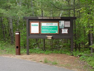
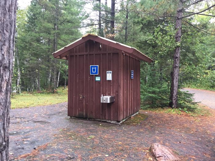
Twin Lakes is 19-acres in size and has a boat ramp for activities like canoeing and fishing. The campground is adjacent to the Round Lake Non-motorized area for biking and hiking. Grills, drinking water and vault toilets create an ideal atmosphere for parties and family get-togethers.
Natural Features
The Chequamegon-Nicolet National Forest covers more than 1.5 million acres of Wisconsin’s Northwoods. The sparse population of the area and low visitor use, make the wild and scenic beauty of the forest that much more enjoyable. Hundred of miles of maintained trails make this area a hikers paradise.
The pristine Twin Lake provides a breathtaking backdrop for a traditional camping experience.
Nearby Attractions
Park Falls, located just over 20 miles away, offers historical attractions, museums and restaurants-perfect for a day trip.