
Directions
From Ely, Minnesota, travel about 8 miles south on State Highway 1 toward Lake Superior, until Forest Road 429 (Little Lake Road). Turn right on Forest Road 429 and continue 4 miles to the campground entrance road. Turn left onto the campground road and continue 1 mile to the campground.
Phone
KAWISHIWI RANGER DISTRICT: 218-365-7600, CONCESSIONAIRE (SUMMER): 218-365-2963
Activities
BIKING, BOATING, CAMPING, FISHING, HIKING, HUNTING, WILDLIFE VIEWING, SWIMMING SITE
Keywords
BIRL,SUPERIOR NATIONAL FOREST,BIRCH LAKE FOREST SERVICE CAMP,BIRCH LAKE RECREATIONAL AREA,BIRCH LAKE,SUPERIOR NF – FS
Related Link(s)
Minnesota State Road Conditions
Overview
Birch Lake Campground is located in Superior National Forest near the Boundary Waters Canoe Area Wilderness, about 13 miles from Ely, Minnesota. It is an ideal place to relax while enjoying fishing, boating and other recreational activities.
Recreation
Fishing, boating and canoeing are popular on Birch Lake. Anglers can use the boat ramp or try their luck from shore to catch northern pike, perch, crappie and walleye. There are no horsepower limitations for boats on the lake.
The shoreline is inviting for campers interested in canoeing. Families also enjoy berry picking during the summer and early fall months.
View recreation guides and maps of hiking trails and canoe routes in the national forest.
Facilities
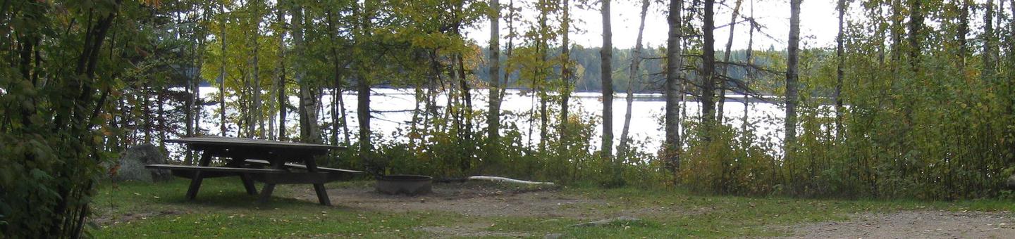
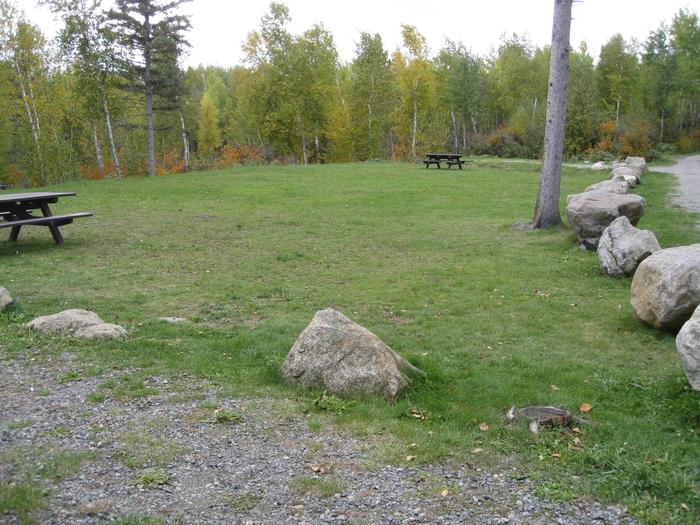
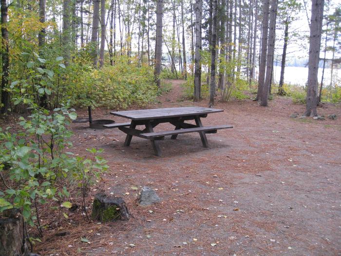
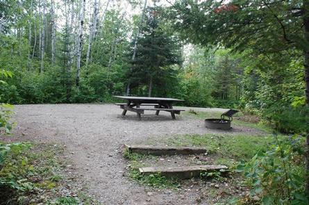
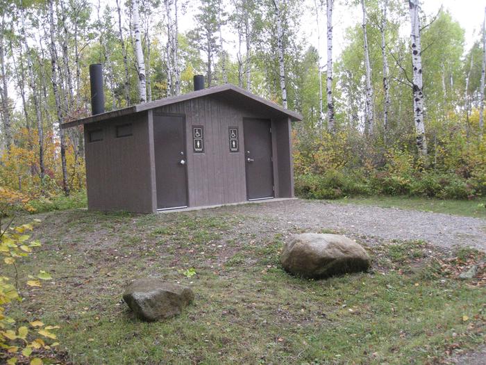
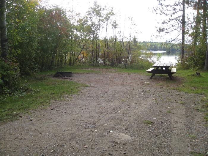
The campground features shaded campsites, each with a picnic table, tent pad and campfire ring with grill. Campsites are organized into two loops, all near the water and well-separated by dense forest. The north loop also has a group site to accommodate up to 45 people with eight back-in parking spurs and an open play area. The south loop has two camper cabins. These cabins are two room cabins with two sets of bunk beds (4 beds) in the back bedroom, and a main area with a table, chairs, and futon in the front room. The cabins sleep up to 6 persons and offer the indoor/outdoor camping experience with a front porch. A heater is provided for those cooler Minnesota nights. Please note: guests must supply their own linens and supplies; no electricity, water or indoor kitchen. Vault toilets and a hand pump for drinking water are provided, and firewood is available for purchase.
Natural Features
Birch Lake covers 7,628 acres and is one of a series of lakes in the area. The campground lies in aspen and birch forest. Birds and wildlife are abundant.
Superior National Forest, located in northeastern Minnesota’s Arrowhead Region, is comprised of 3-million acres. The forest spans 150 miles along the United States-Canada border.
Nearby Attractions
Numerous outdoor recreation opportunities lie within Superior National Forest’s 77 lake accesses, 13 fishing piers, 10 swimming beaches and 22 picnic areas. The forest is also home to three scenic byways.
Campers can also explore the nearby Boundary Waters Canoe Area Wilderness. Over 1-million acres in size, the Boundary Waters extends nearly 150 miles along the United States-Canada border and contains over 1,200 miles of canoe routes, 12 hiking trails and over 2,000 designated campsites.