

Directions
From Montpelier, drive west on U.S. Highway 89 to Ovid, Idaho. At the junction of U.S. 89 and State Highway 36, take the right fork of the "Y" onto State Highway 36 and travel approximately 12 miles northwest to the campground. A left hand turn is required to enter the campground.
Phone
541-351-1182
Activities
BIKING, BOATING, CAMPING, FISHING, HIKING, HORSEBACK RIDING, HUNTING, VISITOR CENTER, WILDLIFE VIEWING
Keywords
EMGT,CARIBOU-TARGHEE NF – FS
Related Link(s)
Overview
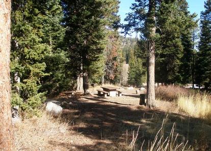
Emigration Campground is located in 17 miles west of Montpelier, Idaho, just off State Highway 36 in Emigration Canyon. Visitors enjoy exploring the nearby Highline Trail and fishing on local streams.
Recreation
The Highline National Recreation Trail is adjacent to the campground and is considered the premier trail of the Montpelier District. It is open to hikers, bikers, horseback riders, motorcyclists and off-road vehicle riders. The trail stretches 55 miles along the backbone of the Bear River Range and intersects many other trails on the west side of the district.
Facilities
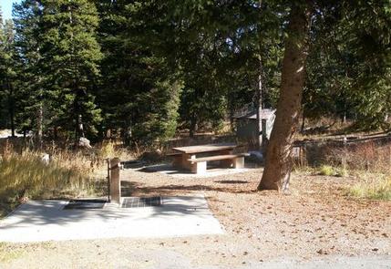
The campground offers 20 single-family sites, three double-family sites and two group sites. Flush toilets and drinking water are provided. Roads to and within the campground are paved, and several sites can accommodate 40-foot trailers with pull vehicle.
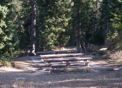
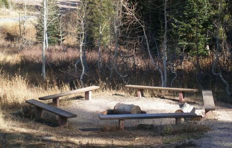
Group Site 3 (RCD) was recently added to the facility and is 1.5 miles west of the main campground on Highway 36. The site has vault toilets and drinking water. A picnic shelter with multiple tables and campfire rings, and small amphitheater are available. Roads and parking areas are gravel.
Natural Features
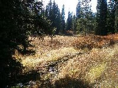
The campground is situated in a quiet canyon forested with pine, spruce and aspen trees. Summer wildflowers dot the landscape and grasses cover the area. Wild huckleberries are abundant in mid-August.