

Directions
From Sisters, travel 5.6 miles northwest on Hwy 20. Continue 20.8 miles north on Forest Road 11, then 5.0 miles east on Forest Road 1170, and then 2.6 miles northwest of Forest Road 64.
Phone
503-464-8515
Activities
BIKING, BOATING, CAMPING, FISHING, HIKING, WATER SPORTS, WILDLIFE VIEWING, DAY USE AREA, PHOTOGRAPHY, PADDLING
Keywords
PSOU,DESCHUTES NF – FS
Related Link(s)
Overview
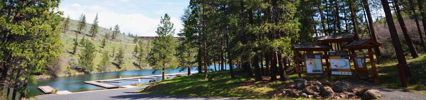
Located in the high desert region of central Oregon, Perry South Campground sits on the shores of Lake Billy Chinook in Deschutes National Forest.
It is a popular destination for outdoor enthusiasts to enjoy the area’s scenic beauty and year-round recreational activities.
Recreation
Fishing and motorized boating top the list of recreational activities for visitors. Hikers should be sure to check out nearby Balancing Rocks Overlook, just west of Perry South Campground.
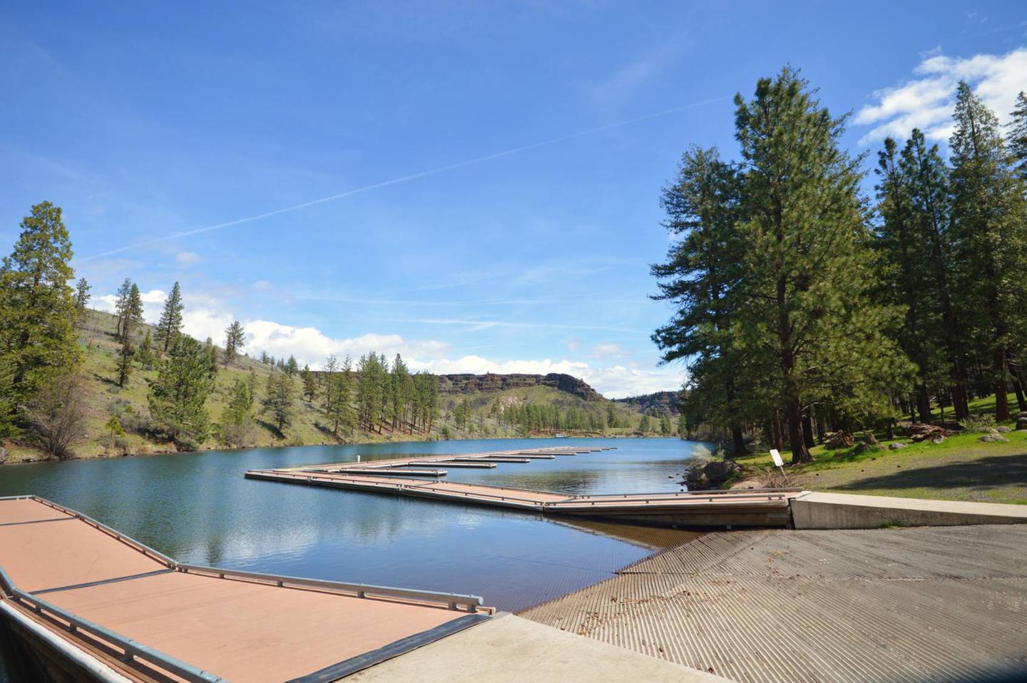
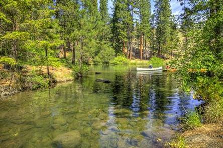
Water enthusiasts of all types will enjoy the opportunities available. Motorized and non-motorized boats share the vicinity with swimmers and water skiers braving the cold, clear waters of Lake Billy Chinook. The Day Use is a fee area; daily passes are $5. PGE also honors the NW Forest Pass and the America the Beautiful Passes. Boat slips are free”visit the Park Host to reserve one.
Facilities
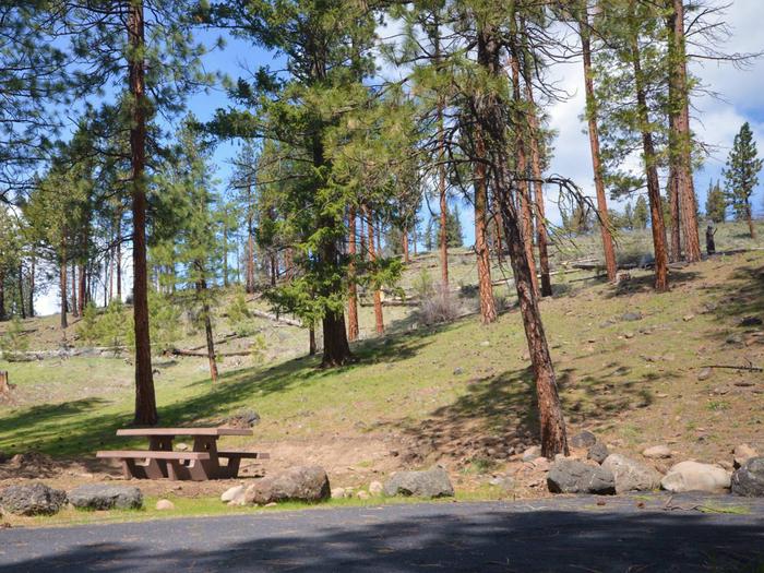
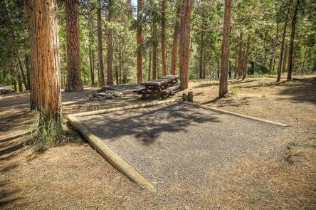
Picnic areas and scenic overlooks, along with the conveniences of firewood, drinking water and vault toilets, give visitors the opportunity to enjoy the outdoors in a comfortable camping environment.
The campground has a boat ramp, and dock space is available for tie up on two docks on a first come-first served basis.
Natural Features
Lake Billy Chinook is the highlight of the area. The lake, created by Round Butte Dam, fills the canyons of the Crooked, Metolius and Deschutes Rivers.
Within these three large arms is 72 miles of shoreline, supporting fish habitats for bass, trout, salmon, whitefish, suckers, minnows and dace.
Rugged hills and a diverse evergreen forest surround the lake, providing homes for mammals such as mule deer, coyote, black-tailed jackrabbit and cougars.
Nearby Attractions
Visitors may want to explore the Tam-a-lau Trail, a scenic hike that starts on a peninsula at the confluence of the Crooked River and the Deschutes River in Cove Palisades State Park.
Under the designation of a Wild and Scenic River, nearby Metolius River is nestled in a forested valley west of Mt. Jefferson. Its clear, cold and constant waters support flyfishing and whitewater boating.
Lava Lands Visitor Center in nearby Bend, Oregon, offers visitors the opportunity to learn about the diverse landscape and history of the area through interpretive programs and exhibits.
Charges & Cancellations
A service fee will apply if you change or cancel your reservation. Late cancellations are subject to additional fees. For full details see the Recreation.Gov, Rules & Reservation Policies.