Directions
From Florence Oregon, travel 7 miles south on Highway 101 to the Siltcoos Beach Access Road. Turn west on Siltcoos Beach Access Road and proceed 1 mile 1.5 miles to Driftwood II Campground on the right. The Sand Access is within the Campground.
Phone
541-271-6000
Activities
CAMPING, FISHING, HIKING, WILDLIFE VIEWING, BEACHCOMBING
Keywords
SILT,Driftwood II,Incinerator,ODNRA,Oregon Dunes,Sand Dunes,Sand camps,Siltcoos ODNRA,SIUSLAW NF – FS
Related Link(s)
Overview
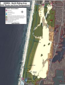
Siltcoos is located about seven miles south of Florence, within the Oregon Dunes National Recreation Area. This unique facility is an off-road enthusiast’s dream. Designated routes crisscross various dunes and forests within the recreation area. Visitors also enjoy relaxing on the beach and playing in the surf.
Recreation
Off-road vehicle riding is the ultimate attraction at Siltcoos. Stagecoach Hiking Trailhead provides access to several non-motorized trails, including the accessible Lagoon Trail and the longer Waxmyrtle Trail, which meanders through the coastal shore pine forests and along the Siltcoos River to the beach. Visitors also enjoy playing in the surf and birding at the beach. A variety of shorebirds are often spotted on the shore. Seasonal whale-watching is a popular activity.
Facilities
Siltcoos’ year-round sand campsites must be accessed by 4X4 vehicles only. Standard sites accommodate up to 20 people and five vehicles. Two group sites accommodate up to 40 people and 10 vehicles. This is a popular facility and reservations are recommended. The campground is primitive and provides no water, restrooms or campfire rings. Visitors must bring their own water, portable toilets and fire pans. Standard sites are limited to 5 cars and 20 poeple. Group sites are limited to 10 vehicles and 40 people.
Natural Features
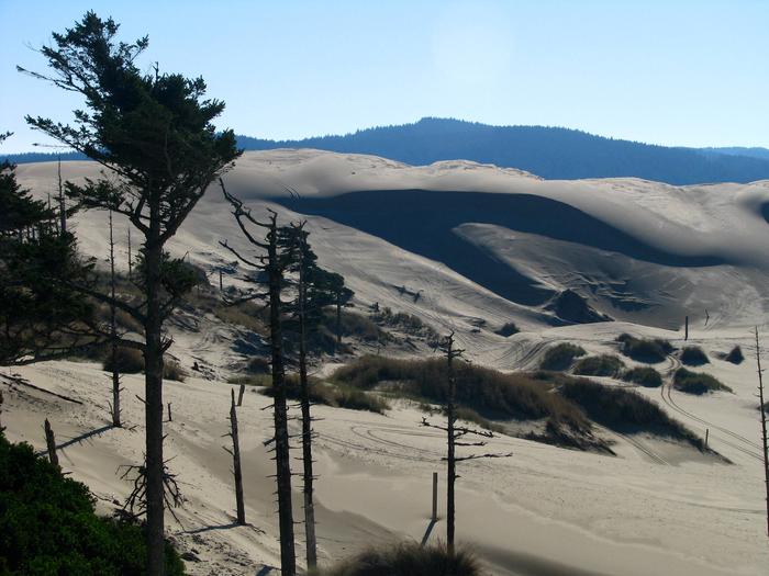
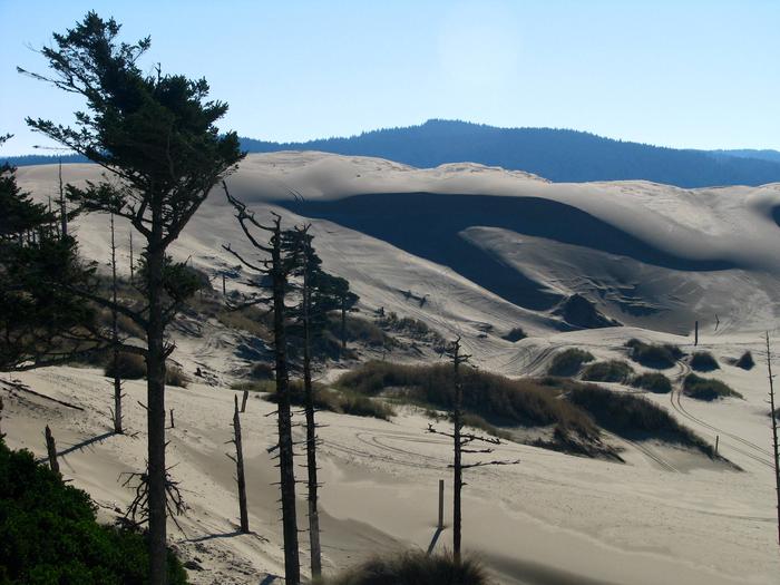
Campsites are located directly on the sand. The dunefield is known for its wind-sculpted sand dunes towering 500 feet above sea level. The region marks the largest expanse of coastal sand dunes in North America. Snowy plovers, a threatened species of small coastal bird, has a designated nesting habitat on Siltcoos Beach. Seasional closures apply.
Nearby Attractions
Sutton Lake is just 8 miles north of Siltcoos, where visitors enjoy boating, fishing and canoeing. A boat ramp is located on-site.
Many hiking trails lie east of the campground in the foothills of the coastal mountains.


