
Directions
From Branson, Missouri, take Highway 165 to Table Rock Dam. The park is just north of the dam.
Phone
1-877-444-6777
Activities
BIKING, BOATING, HIKING, VISITOR CENTER, WATER SPORTS, DAY USE AREA, SWIMMING SITE
Keywords
MNSH,Moonshine Beach,MOONSHINE BEACH REC AREA,TABLE ROCK LAKE
Related Link(s)
Missouri State Road Conditions
Overview
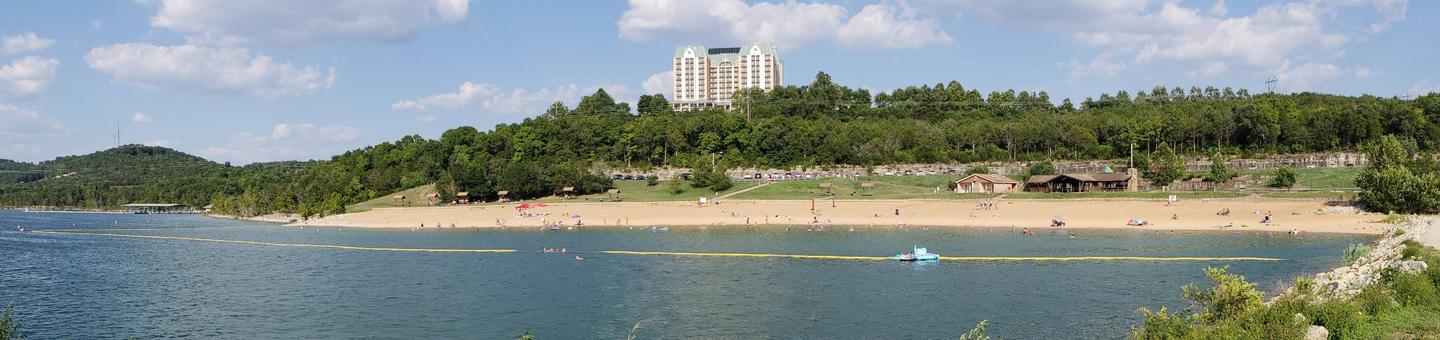
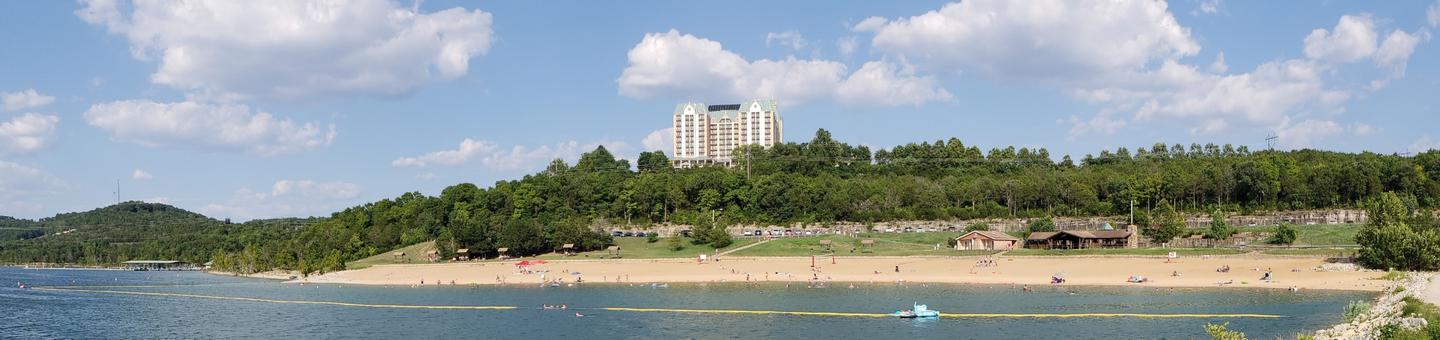
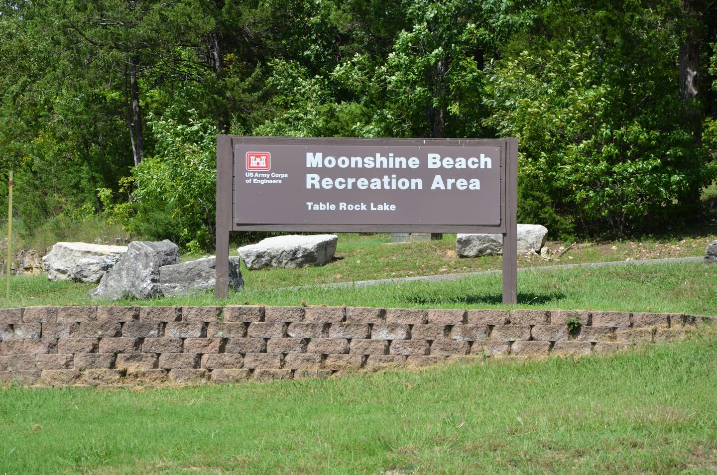
Moonshine Beach Recreation Area is a very popular sandy swimming beach along the shores of Table Rock Lake.
Unlike the smaller swimming areas at the campgrounds surrounding Table Rock Lake, Moonshine beach is spacious enough to make visitors forget they are actually on a lake and not at the ocean.
Recreation
Whether on water or land, Moonshine Beach Recreation Area offers visitors countless recreational activities. Picnicking, swimming, scuba diving, boating, fishing, hiking and wildlife viewing are all popular pastimes at the park. Soaking up the sun and cooling off in the bright blue waters of Table Rock Lake are the most popular activities at Moonshine Beach. For visitors looking to spend some time exploring the shore, the adjacent Dewey Short Visitor Center offers a hiking trail leaving from the grounds. Table Rock Lakeshore Trail, about 2 miles long, runs from the Dewey Short Visitor Center to the Table Rock State Park Marina. During the spring hikers will see dogwood, serviceberry and redbud trees in bloom as well as many wildflower species. During the autumn months, visitors are treated to nature’s colorful fall foliage. The trail also offers beautiful views of Table Rock Lake.
Facilities
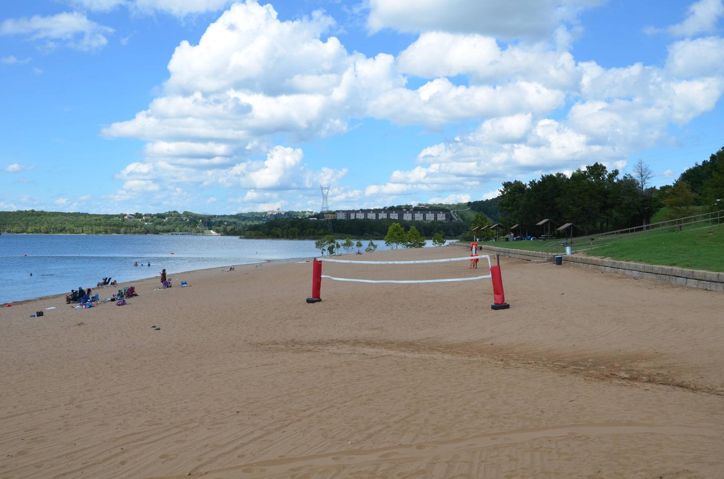
Moonshine Beach Recreation Area offers a large group picnic shelter and can accommodate up to 75 guests. Moonshine Beach is the only sand swim beach at Table Rock Lake, and with the beach, a volleyball court, boat ramp and picnic area all provided, it’s the perfect destination for large parties or family functions.
Natural Features
Table Rock Lake is a beautiful body of water surrounded by a forest of oak and hickory trees. Its waters wind down through the valleys and hollows of the Ozark Mountains, from Branson, Missouri to Eureka Springs, Arkansas.
More than five million visitors per year take advantage of this recreational oasis. Originally built for flood control, the Table Rock Dam has created a lake that boasts 779 miles of shoreline for the public to enjoy.
Nearby Attractions
The Dewey Short Visitor Center features interactive exhibits, great lake views, a film about the area and construction of Table Rock Dam. For more information please call 1-877-444-6777.
The visitor center also contains exhibits about the natural history of the area. Those visitors arriving by boat can take advantage of the courtesy dock.
Moonshine Beach Recreation Area is just outside of Branson, Missouri, which offers grocery stores, gas and additional tourist attractions.