PATTEE CANYON PICNIC AREA, MT Campground Reservation, Info, Images, Map, Directions

PATTEE CANYON PICNIC AREA, Montana Campground Images, Info & Reservations

Directions

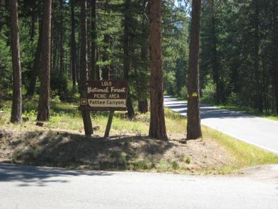
From I-90 in Missoula, take the Orange Street exit #104 and travel south. Turn left onto West Front Street and go 0.2 miles to South Higgins Avenue, then turn right. Continue on South Higgins Avenue for about 2.7 miles to Pattee Canyon Road, then turn left. On Pattee Canyon Road, travel 4 miles heading (east) up the canyon. Look for the Pattee Canyon Picnic Area sign and entrance.

Phone

406-329-3814

Activities

BIKING, CAMPING, HIKING, WINTER SPORTS, WILDLIFE VIEWING

Keywords

PATC,LOLO NF – FS

Related Link(s)

Rec Area Info & Images

Montana State Tourism

Montana State Road Conditions

Overview

The Pattee Canyon Picnic Area offers family picnic sites available for free, along with three group picnic sites available by reservation. The picnic area is open July 1 through Labor Day.

Recreation

The Pattee Canyon Recreation Area is a popular spot for day hikes, mountain biking, horseback riding and picnicking. There are several trailheads in the area. Cross-country skiing is popular in the area during winter months.

Facilities

The picnic area offers several individual- and group-sized picnic sites. The roads are paved and the group sites have trash collection receptacles and accessible vault toilets. Drinking water is not available at the picnic area. A host may be on-site during summer months.

Natural Features

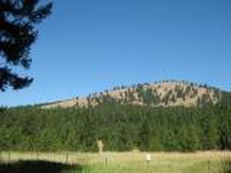
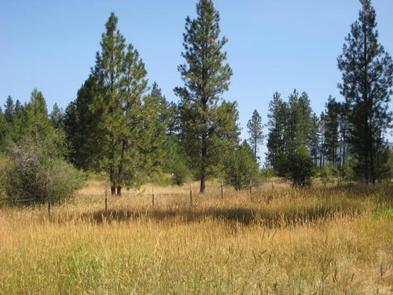
Set in a wooded canyon east of Missoula, at 4,100 feet, the picnic site is pleasantly shaded by large ponderosa pine trees.

Nearby Attractions

Pattee Canyon Picnic Area is located four miles southeast of Missoula.

Reservation

More from CampingHiking.net:

OLD HIGHWAY 86, Missouri Campground Images, Info & Reservations

Directions From Branson, Missouri, take Highway 65 and turn west onto Highway 86. After 6 miles turn north on Highway UU and follow signs to the campground. Phone 417-779-5376 Activities BIKING, BOATING, CAMPING, FISHING, HIKING, PICNICKING, VISITOR CENTER, WATER SPORTS, WILDLIFE VIEWING, DAY USE AREA, SWIMMING, KAYAKING Keywords OL86,TABLE ROCK

MINERS RETREAT, Oregon Campground Images, Info & Reservations

Directions From Pendleton, Oregon: Travel south on Highway 395 for 50 miles to the Ukiah exit. Turn left on Highway 244 to Ukiah. Turn right (south) just before the city park; this road becomes Forest Service Road (FSR) 52 at the Forest boundary. Travel 50 miles to the small town

HOOD PARK, Washington Campground Images, Info & Reservations

Directions From Pasco, Washington, take Highway 12 east. After crossing the Snake River Bridge, take the next exit and continue to State Route 124. The park entrance is on the left just after the roundabout. Phone 509-547-2048 Activities BOATING, CAMPING, FISHING, HIKING, DAY USE AREA, SWIMMING SITE Keywords HOOD,MCNARY,LAKE WALLUA,MCNARY

BLOODY DICK CABIN, Montana Campground Images, Info & Reservations

Directions From Dillon, travel south on I-15 for about 19 miles and exit at Clark Canyon Reservoir (Hwy 324). Travel 17 miles west on Highway 324 through Grant, MT. Proceed west and turn north onto Bloody Dick Road/Forest Road 181. Continue about 18 miles following road signs. The Bloody Dick

SOQUEL CAMPGROUND, California Campground Images, Info & Reservations

Directions From Fresno, take Highway 41 north through town of Oakhurst. Take the Sky Ranch Road (Road 632) east for 7 miles, turn southeast on Forest Road 6S40, and travel 1 mile to Soquel Campground. Phone 559-642-3212 Activities CAMPING, HIKING Keywords SOQU,SIERRA NF – FS Related Link(s) Rec Area Info

MILL CREEK (MISSOURI), Missouri Campground Images, Info & Reservations

Directions From Branson, Missouri, travel west on Highway 76, then take Highway 13 south for 12 miles. Turn west onto Highway RB and follow signs to the campground. Phone 417-779-5378 Activities BIKING, BOATING, CAMPING, FISHING, PICNICKING, WATER SPORTS, WILDLIFE VIEWING, DAY USE AREA, SWIMMING SITE, PHOTOGRAPHY, SWIMMING, DIVING, SNORKELING, RANGER