
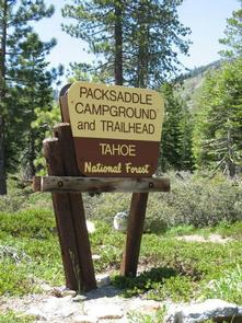
Directions
From Sierra City, travel east on Highway 49 for 5 miles. Turn left at Bassett Station on Gold Lake Highway and continue just over a mile to Packer Lake Road and turn left. Go less than a mile and turn right on Packer Lake Road. Continue for about 2.5 miles and turn left into the campground.
Phone
(530)478-6253
Activities
CAMPING, FISHING, HIKING, HORSEBACK RIDING, HUNTING, SWIMMING, MOUNTAIN BIKING, WATER ACTIVITIES, CANOEING, NON-MOTORIZED BOATING, SCENIC DRIVE, BACKPACKING
Keywords
PASA,TAHOE NF – FS
Related Link(s)
California State Road Conditions
Overview
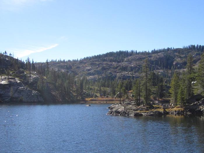
Packsaddle Campground is located in the Packer Lake area near the Sierra Buttes, north of the Yuba River. Visitors enjoy a wide variety of recreational activities in the area, including hiking, horseback riding, hunting, fishing, canoeing and gold panning. This facility is operated and maintained by the Tahoe National Forest.
Recreation
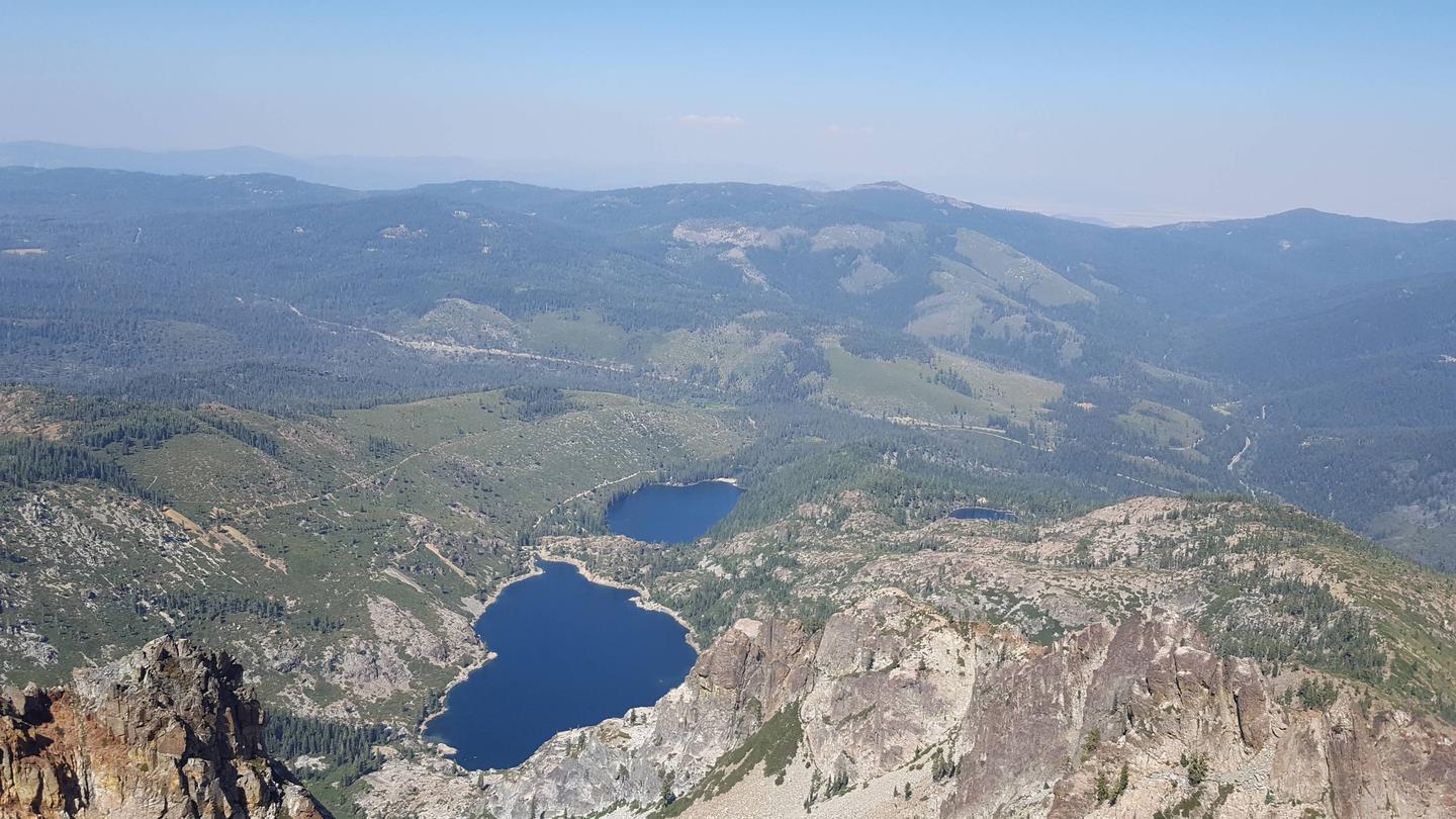
A large network of trails is available in the area, including Deer Lake Trail. This 2.9-mile trail is open to hiking, horseback riding and mountain biking. The Pacific Crest Trail can easily be accessed nearby. Many lakes in the area offer fishing. Canoeing and paddeling is available on nearby Packer Lake.
Facilities
The campground offers single-family campsites and two equestrian sites for campers with horses. Each site is equipped with a picnic table and campfire ring. The equestrian sites share a corral and have ample space for stock trailers. Vault toilets and drinking water are provided.
Natural Features
The campground is split into two loops. The first is more open but is shaded by towering Jeffrey pine and fir trees. The second is located on a forested hillside above the first loop. Some sites have views of the open, wildflower-dotted meadow, while others overlook a ravine and mountain peaks beyond it.
Nearby Attractions
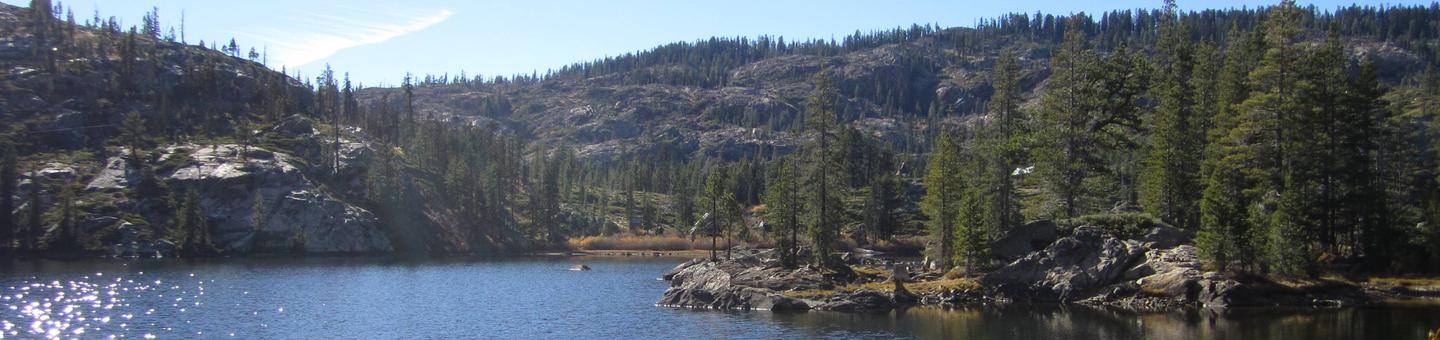
Lakes Basin offers many opportunities for boating, fishing and hiking. Boating, fishing and swimming are available at nearby Packer Lake less than a mile to the west and Sardine Lakes, about three miles south of the campground. Sardine Lakes Resort offers boat rentals. Anglers will find rainbow and brook trout in many of the lakes, streams, and rivers throughout the basin. A more developed boat ramp is located at Gold Lake and accomodates launching of larger boats. Over 30 miles of maintained trails for hiking, mountain biking, and motorcycle singletrack branch out across the area and the Pacific Crest Trail can be accessed at a few spots in the Lakes Basin area. The historic towns of Sierra City and Downieville offer historic and cultural attractions, restaurants, shops, churches, and vistor information.