

Directions
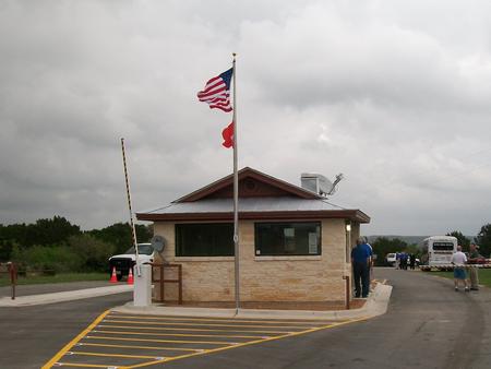
From IH 35 take Exit 191 north of New Braunfels, Texas. FM 306 is exit 191. Drive west on FM 306 for about 14 miles. Turn left on FM 2673 at the red light just after the first Guadalupe River crossing. Cranes Mill Park is located at the westernmost end of FM 2673 and South Cranes Mill Road. Drive until FM 2673 goes down to a two lane road going through a neighborhood. Continue through the neighborhood. You will go down a steep incline and be at a Y in the road. Go left on at the Y and you have entered the park. The gate house is at the far end of the road past the marina.
Phone
830-964-3341
Activities
BOATING, CAMPING
Keywords
Canyon Lake,Cranes Mill,Cranes,Cranes Park,CM Park,Crane’s Mill,Crane’s Mill Marina,Crappie Dock
Related Link(s)
Overview
Cranes Mill Park is located on a long peninsula on the southwestern shore of Canyon Lake in Texas Hill Country, halfway between Austin and San Antonio. Dramatic sunrises to the east of the park across Canyon Lake and sunsets on the western side of the park behind the Guadalupe River make this an unforgettable location.
Recreation
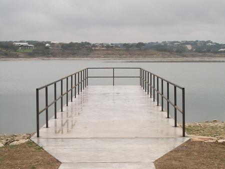
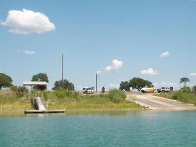
Cranes Mill Park offers a ramp for boating and two fishing piers. The Canyon Lake area has many options for recreation including: helicopter tours, boating, kayaking, canoeing, jet-skiing, dining, hiking, biking, fishing, camping, waterskiing, parasailing, horseback riding, guided gorge tours , river tubing, and much more. Anglers are welcome to try their hand at trout fishing in the Guadalupe River between the dam and New Braunfels.
Facilities
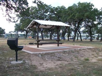
Cranes Mill Park hosts 30 RV sites, 34 tent sites, water and electrical at most sites, a dump station, restrooms with hot and cold showers, boat ramp in the park with restroom facilities, two fishing piers, adjacent marina and many undeveloped acres of land where the wildlife is abundant.
Natural Features
The Guadalupe River flows into Canyon Lake on the west side of Cranes Mill Park creating tranquil, warm summer evenings as the sun rests across the horizon. The peninsula is home to wildlife including deer, squirrel, fox, armadillo, raccoon, Cardinals, dove, Mockingbirds, finch and swallow.
Nearby Attractions
Some of the local attractions include: Historic Downtown Gruene Texas, Natural Bridge Caverns, Wonder World in San Marcos, Comal River, Guadalupe River, San Marcos River, Lake Dunlap, Lake McQueeny, historic downtown New Braunfels, San Antonio River Walk, Six Flags, Sea World and many others.
Charges & Cancellations
The reservation system has the right to charge fees for cancellation of a reservation, or for changes to a reservation. Changes include shortening a stay, extending a stay, or site transfers.