BLACK CANYON RIM CAMPGROUND, AZ Campground Reservation, Info, Images, Map, Directions

BLACK CANYON RIM CAMPGROUND, Arizona Campground Images, Info & Reservations

Directions

Located 13 miles west of Heber, Arizona. From Forest Lakes, travel east on Highway 260 for approximately 1 mile. Turn south on Forest Road 300 and travel approximately 2.4 miles. The campground is located at the intersection of Forest Roads 300 and 86.

Phone

9285359859

Activities

CAMPING

Keywords

BLACK CANYON RIM CAMPGROUND,BLACK CANYON,APACHE-SITGREAVES NF-FS

Related Link(s)

Rec Area Info & Images

Arizona State Tourism

Arizona State Road Conditions

Overview

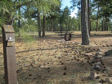
Black Canyon Rim Campground has 20 sites of varying sizes. All sites can accommodate tents and pop-up campers. Some sites are suitable for pull trailers, 5th-wheel trailers, and motorhomes up to 40 feet.

Recreation

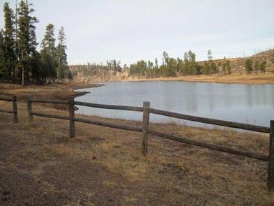
Fishing and boating (electric motors) are available on Black Canyon Lake, approximately 2.5 miles northeast of the campground. The historic grave site of Stott, Scott, and Wilson, three young men lynched during the Pleasant Valley War is located within walking distance.

This campground is a favorite stopping place for those traveling on the General Crook National Recreation Trail.

Facilities

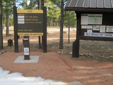
Each campsite offers a campfire ring with grill and picnic table. Additional amenities include accessible vault toilets, drinking water and trash service. Access is on both sand and gravel roads. A campground host is available at the site.

Natural Features

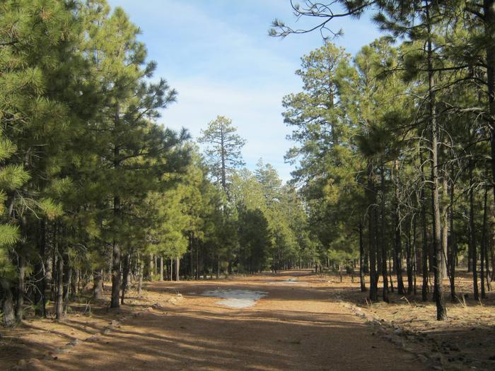
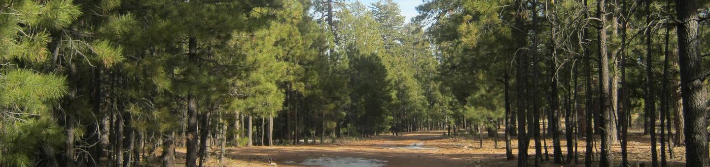
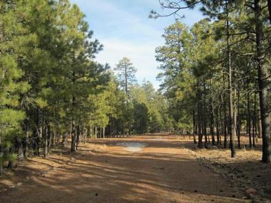
Black Canyon Rim Campground is sheltered among towering ponderosa pines and located in an area that is relatively flat and sandy.

A herd of wild horses is often seen running through the area and stopping at Black Canyon Lake for water.

Nearby Attractions

Gas, phone, and groceries are available 8 miles west at Forest Lakes or 13 miles east at Heber.

Reservation

More from CampingHiking.net:

BREILAND SLOUGH CABIN, Alaska Campground Images, Info & Reservations

Directions From Petersburg, the cabin is 15 miles by float plane or 25 miles by boat. It is accessible at any tide. Refer to USGS topographic map Petersburg C4; Petersburg C3 and D4 may also be helpful. Maps are available online or by calling the Petersburg Ranger District at (907)

WILBUR D. MILLS, Arkansas Campground Images, Info & Reservations

Directions From Dumas, Arkansas, travel north on US-165 for 9 miles to State Route 212. Turn right and continue 4 miles east, through Pendleton Bend Park, to the campground. Phone 870-548-2291 Activities BOATING, CAMPING, FISHING, HIKING, HUNTING, BIRDING Keywords WILB,WILBUR D. MILLS LOCK AND DAM,WILBUR MILLS PARK,MILLS PARK,WILBUR D MILLS,WILBUR

Howell Run Picnic Area, West Virginia Campground Images, Info & Reservations

Directions From Cumberland, MD, take US 220 south to US 50W, go west to WV 42N, go north to WV 46E. Follow the signs to the Howell Run Picnic Area. Phone 304 355-2346 Activities BOATING, CAMPING, FISHING, HIKING, PICNICKING, SWIMMING SITE, OTHER RECREATION CONCESSION SITE Keywords Jennings Randolph Lake,Picnic Area

CHURCH BIGHT CABIN, Alaska Campground Images, Info & Reservations

Directions Access to the cabin is by float plane or boat with anchor. It is about a 1-hour flight from Juneau or 30 minutes from Petersburg. Access by boat via Stephens Passage is approximately 70 miles from Juneau. Tides affect access to the cabin, click here for local tide tables.