Directions
From I-75 head east on Highway 73 for 11.5 miles past Waynesville. Follow the signs for the Caesar Creek Visitor Center for 3 more miles.
From I-71 head west on Highway 73 for 7.7 miles. Follow the signs for the Caesar Creek Visitor Center for about 3 miles.
Phone
(513) 897-1050
Activities
CAMPING, FISHING
Keywords
Caesar Creek Lake,Flat Fork,Tailwater
Related Link(s)
Overview
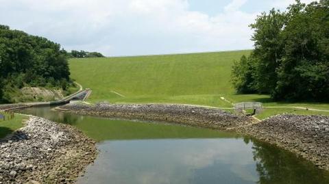
Caesar Creek Lake is located in southwest Ohio, centered between Dayton, Cincinnati and Columbus. Visitors flock to Caesar Creek Lake for its great fishing, boating, Visitor Center and trail opportunities.
Recreation
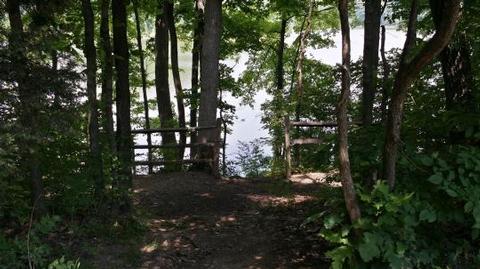
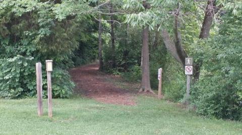
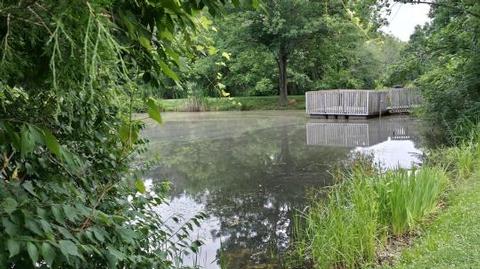
Caesar Creek Lake offers excellent boating, water skiing and canoeing. Anglers fish for crappie and trophy muskie. The shelter is close to the Visitor Center’s courtesy dock, allowing for easy shoreline fishing or to launch a kayak. Also, the shelter is within a short walking distance to the Caesar Creek Lake Visitor Center which offers exhibits, films and information about the lake and Corps missions in the Ohio Valley. Visitors can also take advantage of the new Adena Trace fitness trail with 9 workout stations over a mile loop as well as 50 miles of additional hiking, mountain biking, and bridle trails.
Facilities
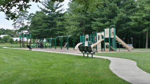
Each shelter is located near the Caesar Creek Visitor Center where a 24-hour indoor heated and cooled restroom can be found. Many shelters also offer some of the largest playground areas found at Caesar Creek Lake. Each shelter also offers two cooking grills and both electric and water are provided with reservation.
Natural Features
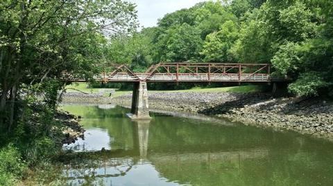
Caesar Creek Lake is home to many different wildflower prairies throughout the park which offer views of native wild prairie flowers, insects and bird species. Caesar Creek Lake is also home to more than 50 miles of trails including the 13 mile backpack trail which takes you to a scenic overlook of Horseshoe Falls.
Nearby Attractions
Caesar Creek Lake offers 50 miles of hiking, mountain biking, bridle and archery trails. Caesar Creek Pioneer Village offers a collection of over 15 log cabins and other structures that are open during special events. Caesar Creek Nature Center is adjacent to the Pioneer Village; the nature center features exhibits on the area’s cultural and natural history.

