
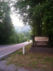
Directions
From Highway 64/411 intersection, travel Hwy. 64 east approximately 9.5 miles, turn onto Highway 30 for 0.25 mile. RV sites are located on the left, group tent camping on the right.
Phone
423-338-3300
Activities
BOATING, CAMPING, FISHING, HIKING, SWIMMING, MOUNTAIN BIKING, KAYAKING, CANOEING, NON-MOTORIZED BOATING, WATER ACCESS, RAFTING, RIVER TRIPS, WHITEWATER RAFTING
Keywords
PARKSVILLE LAKE RV CAMPGROUND
Related Link(s)
Tennessee State Road Conditions
Overview
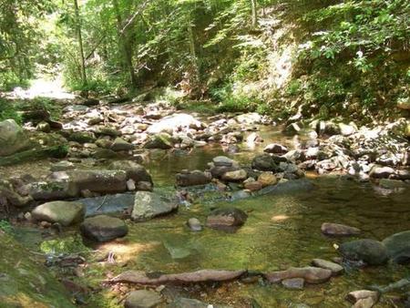
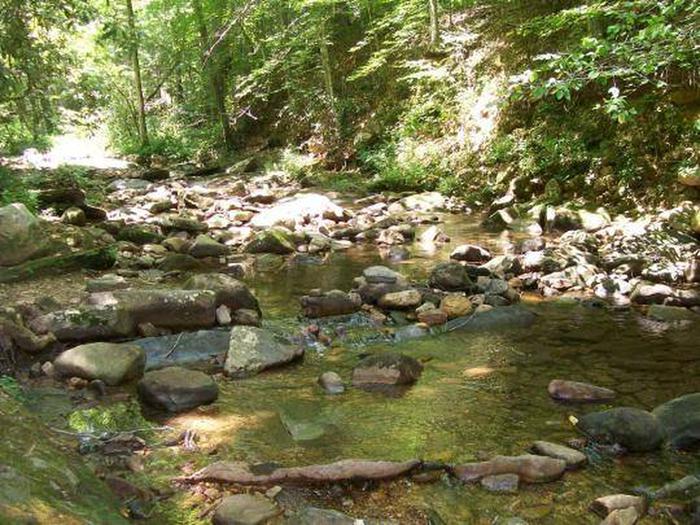
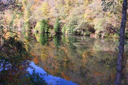
Located near Parksville Lake, Parksville Lake RV Campground offers well-shaded and nicely spaced campsites accommodating larger RVs. Several sites offer the opportunity for two RVs to camp close together and several are located along a small stream.
Recreation
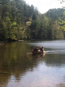
Parksville Lake RV Campground is central location for day trips to the many inviting outdoor recreation opportunities in the area. Visitors to nearby Parksville Lake will enjoy beaches for swimming and boat ramps for water access. The area boasts many miles of mountain bike and hiking trails. Whitewater rafting enthusiasts will want to check out the Ocoee Whitewater Center.
Facilities
Picnic tables, grills, and lantern posts are located at each site. A bath house providing flush toilets and warm showers is centrally located in the middle of the loop. Water hydrants are located throughout the campground. An RV dump station is located near the entrance/exit.
Parksville Lake Campground Map and Guide
Natural Features
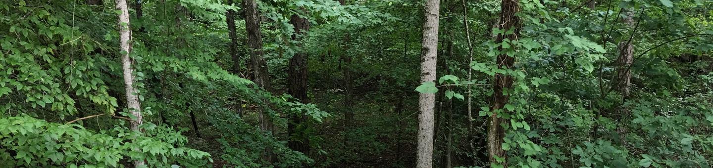
The Cherokee National Forest is located in eastern Tennessee and stretches from Chattanooga to Bristol along the North Carolina border. The 650,000-acre swath of land is Tennessee’s only national forest. It lies in the heart of the Southern Appalachians and is home to more than 20,000 species of plants and animals, as well as many rivers, creeks and lakes.
Nearby Attractions
The campground is conveniently located near the Ocoee River and the Ocoee Whitewater Center (site of the 1996 Olympic Kayak events).