
Directions
From Rochester, travel south for 1.0 mile on Route 100 to the junction of Route 73. Follow Route 73 west for 5.1 miles.
From Brandon, travel east on Route 73 for 11.2 miles.
Phone
(802) 767-4261
Activities
BIKING, CAMPING, HIKING, VISITOR CENTER, WATER SPORTS
Keywords
Related Link(s)
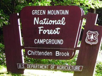
Overview
Chittenden Brook Campground is situated in a beautiful northern hardwoods forest, approximately seven miles from Rochester, VT. It is a small and semi-remote campground, perfect for those who seek a more tranquil camping experience.
Recreation
With an abundance of well-maintained trails, mountain vistas, waterfalls, and streams, the Chittenden Brook area offers plentiful opportunities for hiking, mountain biking, swimming, river tubing, fishing, hunting, and more. The Chittenden Brook trail system starts at the campground and passes through a mature northern hardwood forest, along a pristine mountain stream, and past a beaver pond on its way to connecting with the Long Trail.
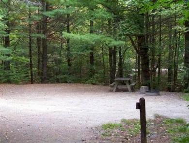
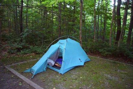
Facilities
The campground offers 17 overnight sites for tent and small RV camping (maximum 18′). Each site has a picnic table, fire ring with a grill, parking spur with space for two cars, and a gravel tent pad. There are two barrier-free vault toilets, but there is no potable water available. There is a recycling and trash station at the end of the campground loop. The campground also offers several first-come, first-served sites along with sites that can be reserved.
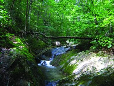
Natural Features
The campground is located along Chittenden Brook, a pristine mountain stream that feeds into the White River. Wildlife located in this area includes white-tailed deer, moose, and black bear.
Nearby Attractions
Nearby attractions include Long Trail access on site, river tubing on the White River, mountain biking on the Green Mountain Trails in Pittsfield and the towns of Killington, Rochester and Brandon.