


Directions
From Moab, drive north to the junction with Highway 128. Drive 23 miles on highway 128 to the entrance to Hittle Bottom campground. The group site is located on the north end of the campground, just past the main entrance.
Phone
(435)259-2100
Activities
BIKING, BOATING, CAMPING, HIKING, PHOTOGRAPHY, PADDLING, WATER ACTIVITIES, KAYAKING, CANOEING, STAR GAZING, NON-MOTORIZED BOATING, WATER ACCESS, SCENIC DRIVE, RAFTING, RIVER TRIPS, WHITEWATER RAFTING
Keywords
None
Related Link(s)
Overview
Hittle Bottom Campground is located on the banks of the Colorado River and is a popular launch site for river trips. The group site is ideal for small family or school gatherings. Within close proximity to national parks and open space, outdoor enthusiasts will enjoy hiking, mountain biking, whitewater rafting, and four-wheel drive tours in the surrounding area. The town of Moab is approximately 45 minutes away and has dining, shopping, sports rentals, tour companies and museums.
Recreation
This site is a popular launch site for river running and close to hiking, mountain biking and four-wheel driving opportunities. The river corridor is filled with canyons, trails and scenic vistas. Arches and Canyonlands National Parks are nearby and have many hiking trails and four-wheel drive roads.
Facilities
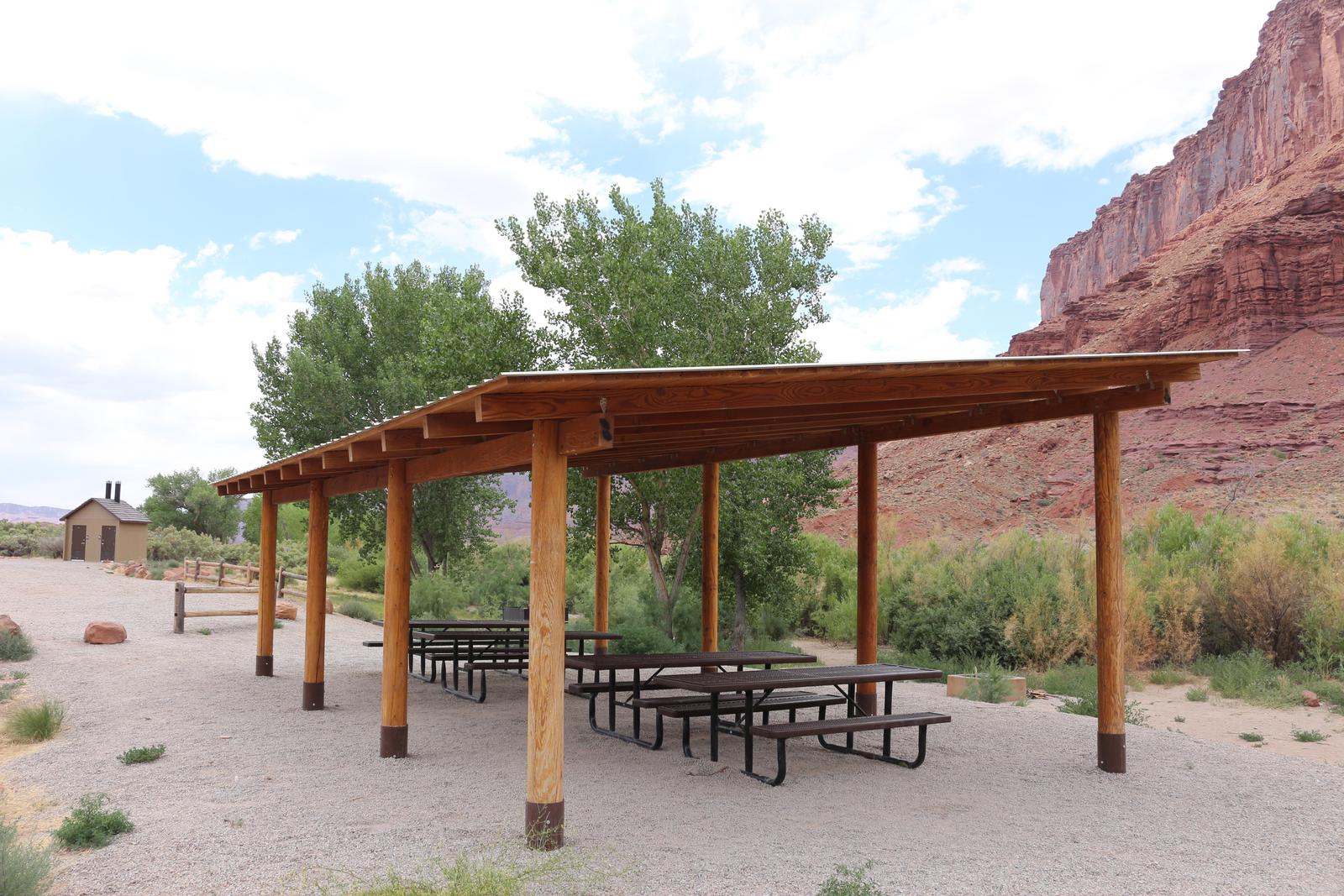
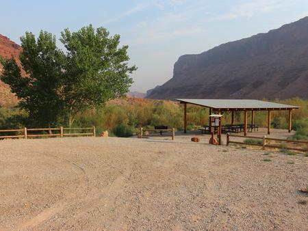
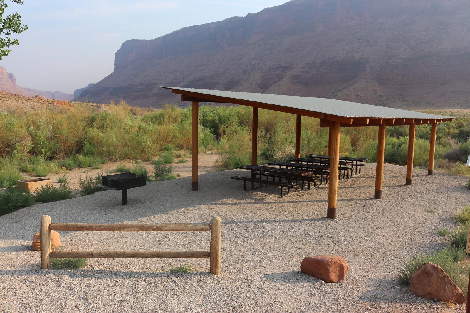
The group site has fire grates, picnic tables, vault toilets and a shade shelter. The group site does not have water, dump stations or electric hook ups. A boat ramp is in the main campground.
Natural Features
Hittle Bottom is located along scenic Highway 128. The views from the campsite are striking and include Fisher Towers, Professor Valley and the Colorado River.
Nearby Attractions
There are many hiking, mountain biking and four-wheel drive trails along Hwy. 128. The Fisher Towers area offers hiking, rock climbing, and scenic vistas. Hittle Bottom is about 45 minutes from Arches National park and one hour from Canyonlands National Park.