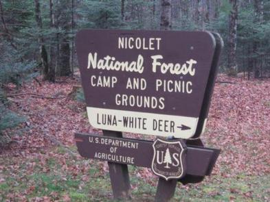
LUNA WHITE DEER CAMPGROUND, WI Campground Reservation, Info, Images, Map, Directions

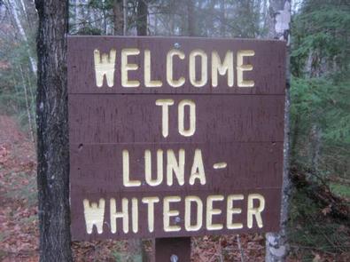
LUNA WHITE DEER CAMPGROUND, Wisconsin Campground Images, Info & Reservations

Directions

From Eagle River, travel 13.4 miles on STH 70 to FR2176 (Divide Road). Turn right (south) and continue 5.6 miles to FR2188. Turn right and travel 0.7 miles to the campground.

Phone

(715) 479-2827

Activities

BIKING, BOATING, CAMPING, FISHING, WILDLIFE VIEWING, SWIMMING SITE

Keywords

Related Link(s)

Rec Area Info & Images

Wisconsin State Road Conditions

Wisconsin State Tourism

Overview

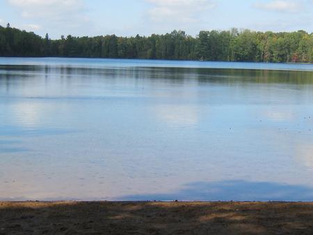
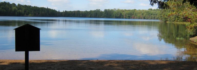
Nestled between two deep clear lakes, Luna-White Deer Campground provides a north woods experience where you can hear the call of the loons at night and see lots of wildlife by day. Half of the campsites front on the two non-motorized lakes. A four-mile trail with great vistas circles the two lakes.

Recreation

The lakes provide visitors ample opportunities for non-motorized boating, swimming and fishing. Anglers can expect a catch of largemouth bass, rock bass, perch, pumpkinseed and bluegill in both lakes as well as rainbow trout in White Deer Lake. A four-mile-long trail circles the two lakes and connects with over 30 miles of additional trails, including the Anvil National Recreation Trail. A variety of wildlife make its home in the area including resident American bald eagles in the towering pines along the shore and loons, which call into the night.

Facilities

The campground offers 37 single family campsites, available for tent or RV camping. The campground offers both first-come, first-served campsites as well as sites which can be reserved in advance. Sites are equipped with tables and fire rings with grills. Vault toilets and drinking water are available throughout the campground.

For more information about the Luna White Deer area, view theRecreation Opportunity Guide (PDF).

Natural Features

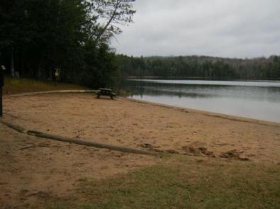
The campground is situated in a dense mixed species forest, at an elevation of 1,735 feet. The adjacent lakes offer anglers opportunities to catch fish or the ability to relax on a sandy beach.

Nearby Attractions

The City of Eagle River is located about 19 miles northwest of the campground. Eagle River offers a variety of services and activities throughout the year.

Reservation

More from CampingHiking.net:

ACKER ROCK LOOKOUT, Oregon Campground Images, Info & Reservations

Directions Important note regarding GPS use: please be advised that GPS units can, and have sent guests down the wrong roads to access the Lookout. Please consider following the directions below rather than your GPS unit. Directions: From Canyonville take West 1st Street and turn onto SE 3rd St/OR-227. Continue

AXTEL, Kentucky Campground Images, Info & Reservations

Directions Begin at ramp onto I-64 West toward New Albany/St. Louis, traveling 22.3 miles. Take the IN-135, Exit Number 105, toward Palmyra/Corydon, onto IN-135 South toward Corydon, traveling 16.7 miles. Continue on Bypass Road KY-79 for 2.1 miles. Turn right onto KY-79, traveling 10.1 miles. Continue on 1st Avenue, KY-79S

CIRCLE PARK CAMPGROUND, Wyoming Campground Images, Info & Reservations

Directions From Buffalo, WY, take US Hwy 16 west for 13.4 miles to FS Road 20 (Circle Park Road), turn right, go 2.1 miles. Phone 406-587-9054 Activities BIKING, BOATING, FISHING, HIKING, MOUNTAIN BIKING, WATER ACTIVITIES, CANOEING, STAR GAZING, BIRDING, WATER ACCESS, SCENIC DRIVE, BACKPACKING Keywords Related Link(s) Rec Area Info

JUNCTION CREEK CAMPGROUND, Colorado Campground Images, Info & Reservations

Directions From Main Street in Durango, travel west on 25th Street (across from the fairgrounds entrance) for just over three miles, to the forest boundary. Continue just over a mile to the campground entrance. The day-use area loops to the left. Phone 661-702-1420 Activities BIKING, BOATING, CAMPING, FISHING, HIKING, WILDLIFE

WILSON VIEW CABIN, Alaska Campground Images, Info & Reservations

Directions Approximately 44 miles east of Ketchikan on the mainland, north of Wilson Arm. Cabin is located at the north end of Wilson Lake. Accessible by float plane only. This cabin is in a designated Wilderness area, and access by helicopter is illegal. Refer to USGS map Ketchikan B-2 and

HANKS CREEK, Texas Campground Images, Info & Reservations

Directions From Zavalla, TX, take State Hwy 147 northeast for 1/4 mile, then turn north on FM 2109, go 8 miles to FM 2801. Turn right (east) on FM 2801 and go 2 miles to the park entrance. Follow signs into the campground. Phone 409-384-5716 Activities BIKING, BOATING, CAMPING, FISHING,