Craters of the Moon Group Campground, ID Campground Reservation, Info, Images, Map, Directions

Craters of the Moon Group Campground, Idaho Campground Images, Info & Reservations

Directions

Nestled behind Sunset Cinder Cone about .75 miles up a gravel road on the north side of U.S. Highway 20/26/93. Check-in at the Visitor Center in order to gain access to this gated area.

GPS users please enter 1266 Craters Loop Rd., Arco, Idaho, 83213.

Phone

(208) 527-1300

Activities

HISTORIC & CULTURAL SITE, CAMPING, VISITOR CENTER, DAY USE AREA

Keywords

Related Link(s)

Rec Area Info & Images

Idaho State Road Conditions

Idaho State Tourism

Overview

This secluded camping area at Craters of the Moon National Monument is the perfect spot for organized groups. It is available by reservation only for groups of up to 30 people (May-September) for tent camping only.

Recreation

The Visitor Center and scenic 7-mile Loop Drive are located 1.5 miles from the group campground on the south side of U.S. Highway 20/26/93. Climbing Sunset Cone is a strenuous activity but the views from the top are outstanding. Obtain an additional day-use permit for venturing north of the campground on Goodale’s Cutoff. This historic trail was an alternative route used by pioneers travelling to the Oregon Territory. This dirt and gravel double-track road is a great place for riding a mountain bike. Obtain a map at the Visitor Center.

Facilities

The group campground accommodates up to 30 people for tent camping only. The site has picnic tables, one large campfire ring, drinking water and a vault restroom. A large barbecue is also onsite for grilling with briquettes. The parking area will accommodate eight vehicles maximum (no RVs or trailers).
Please be aware the campground has an accessible picnic table and vault toilet, but paths to these are not accessible.

Natural Features

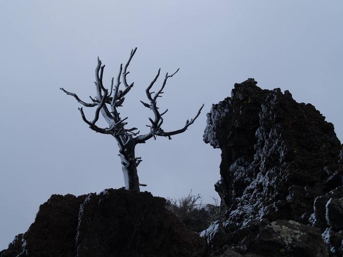
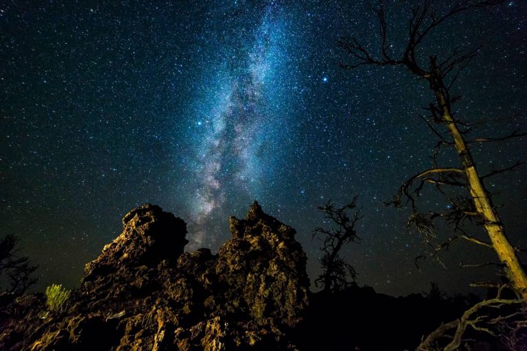
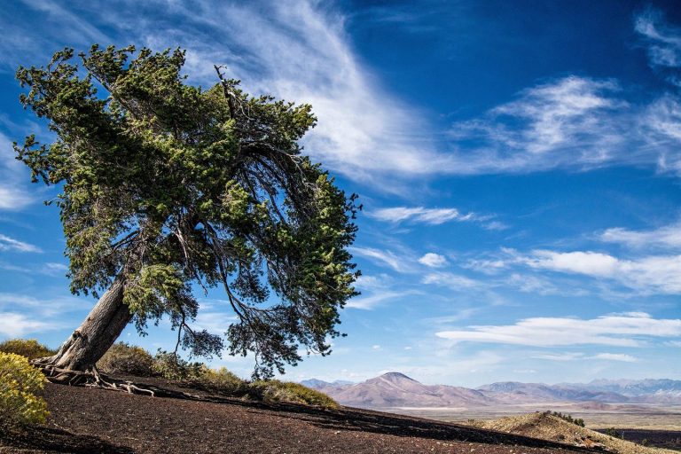
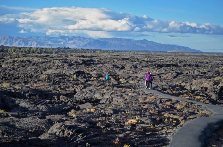
Craters of the Moon is known for its extensive lava flows and well-preserved volcanic features. The group campground is located on the north side of U.S. Highway 20/26/93 at the base of Sunset Cone, a 12,000 year old cinder cone. A grove of Douglas fir trees grows on the shady north side of the volcano surrounding the group campground.

Nearby Attractions

The Peaks to Craters Scenic Byway links the high peaks of the Lost River Range to the volcanic craters of Craters of the Moon. Restaurants, groceries and supplies are available in nearby Arco, Idaho (18 miles east).

Reservation

More from CampingHiking.net:

SPANISH CREEK CAMPGROUND, California Campground Images, Info & Reservations

Directions From Oroville, travel east on Highway 70 for 75 miles. The turnoff to the campground is two miles past Highway 89. From Quincy, travel west on Highway 70 for 8 miles. Campground is across the Spanish Creek bridge. Phone 530-283-0555 Activities CAMPING, FISHING, HIKING, WATER SPORTS, SWIMMING SITE Keywords

FREDS CREEK CABIN, Alaska Campground Images, Info & Reservations

Directions Accessible year round, weather permitting. Located 10 miles west of Sitka on the southeast shore of Kruzof Island. Access is 30 minutes by boat from Sitka. Helicopter landing on beach is possible at lower tides. Refer to USGS topographic maps Sitka A-5, A-6. Local wave action on the beach

WOLF CREEK CALIFORNIA, California Campground Images, Info & Reservations

Directions From Placerville, get on Highway 50 and head east for 21 miles to Icehouse Road. Turn left 21 miles to turnoff. Then go three-quarters of a mile to campground. Phone 831-245-6891 Activities BIKING, BOATING, CAMPING, FISHING, HIKING, WATER SPORTS, WILDLIFE VIEWING, SWIMMING SITE, BIRDING, WATER SKIING Keywords WOLA,ELDORADO NF

STONY FORK CAMPGROUND, Virginia Campground Images, Info & Reservations

Directions From Wytheville, VA, follow I-77 north to Exit 47. Turn left onto Route 717 and drive 4 miles to Stony Fork Campground. Total travel distance is 10 miles. Phone 276-783-5196 Activities BIKING, CAMPING, FISHING, HUNTING, WILDLIFE VIEWING Keywords SFCA,GEORGE WASHINGTON/JEFFERSON NF-FS Related Link(s) Rec Area Info & Images Virginia

OHANAPECOSH GROUP CAMPGROUND, Washington Campground Images, Info & Reservations

Directions Located on State Route 123, four miles north of State Route 12. Phone 360-569-2211 x6627 Activities CAMPING, HIKING, PICNICKING, DAY USE AREA Keywords CG81,Ohana,Mount Rainier National Park Related Link(s) Rec Area Info & Images Washington State Road Conditions Washington State Tourism Overview This facility is the group site at

CHERRYVALE PARK, Kansas Campground Images, Info & Reservations

Directions From Highway 169 in Cherryvale, Kansas, turn east onto Main Street. Continue through the town and turn right onto Olive Street. After half a block turn left onto County Route 5000. Continue 4.5 miles to the lake and follow signs to the park. Phone 620-328-2050 Activities BOATING, CAMPING, FISHING,