Saylorville Lake, Iowa Camping & Hiking

Saylorville Lake, Iowa Camping & Hiking

Saylorville Lake Image Gallery

Directions

2.4 miles and becomes Hwy 415. Continue on Hwy 415 N to the lake area.
OR
From I-35/80: Take Exit 127 to Highway 141 N. Take Highway 141 N approximately 6 miles to exit 148 which is NW Saylorville Drive or Hwy 415. NW Saylorville Drive will lead into the lake area.

Phone

(515) 276-4656

Activities

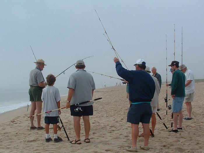
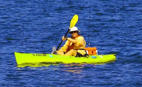
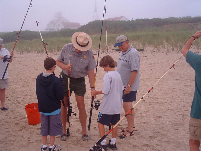
BOATING, CAMPING, FISHING, HIKING, HORSEBACK RIDING, PICNICKING, WINTER SPORTS, WATER SPORTS, WILDLIFE VIEWING, PLAYGROUND PARK SPECIALIZED SPORT SITE, OTHER RECREATION CONCESSION SITE, ENVIRONMENTAL EDUCATION

Camping Reservations

Reserve your campsite at these camping areas:

Iowa Campgrounds

ACORN VALLEY

BOB SHETLER RECREATION AREA

CHERRY GLEN CAMPGROUND

PRAIRIE FLOWER RECREATION AREA

BOB SHETLER PICNIC AREA

CHERRY GLEN PICNIC

WALNUT RIDGE RECREATION AREA

SANDPIPER RECREATION AREA

OAK GROVE PICNIC AREA

Hiking Trails

Looking for nice hiking areas to take a hike? Choose from these scenic hiking trails:

Iowa Hiking Trails

Related Link(s)

More Iowa Recreation Areas

Saylorville Lake Marina

Saylorville Lake Photo Album

Iowa Academy of Science Association

Saylorville Lake Hunting Map

Saylorville Lake Website

The Saylorville Lake Project is 26,000 acres, which stretches for over 50 miles up the Des Moines River Valley. A wide variety of recreational activities are available including fishing, picnic areas with group shelters, boat launches, an accessible fishing pier, river fishing, hunting, and a 24-mile paved, multipurpose trail used for biking, hiking, jogging, walking, and in-line skating.

More from CampingHiking.net:

Lake Texoma, Texas Camping & Hiking

Directions Fom Denison, TX, 5 miles northwest onTX 91. Phone (903) 465-4990 Activities BOATING, CAMPING, FISHING, HIKING, HORSEBACK RIDING, OFF HIGHWAY VEHICLE, PICNICKING, WATER SPORTS, WILDLIFE VIEWING, PLAYGROUND PARK SPECIALIZED

Tumey Hills, California Camping & Hiking

Directions From Interstate-5, take the Panoche Road exit. The first Tumey Hills access point is located roughly 3 miles from the Interstate. Be aware that Panoche Road is not paved

Elephant Butte Reservoir, New Mexico Camping & Hiking

Directions Take I-25 north from El Paso, Texas, about 125 miles. Phone 575-744-5923 Activities BIKING, BOATING, HISTORIC & CULTURAL SITE, CAMPING, INTERPRETIVE PROGRAMS, FISHING, HIKING, PICNICKING, WINTER SPORTS, RECREATIONAL VEHICLES,