Directions
From Columbia, 59 miles north on US 63 to Macon, then 2 miles west on US 36.
Phone
(660) 385-2108
Activities
BOATING, CAMPING, FISHING, HIKING, PICNICKING, VISITOR CENTER, WATER SPORTS, WILDLIFE VIEWING, PLAYGROUND PARK SPECIALIZED SPORT SITE
Camping Reservations
Reserve your campsite at these camping areas:
Hiking Trails
Looking for nice hiking areas to take a hike? Choose from these scenic hiking trails:
Related Link(s)
More Missouri Recreation Areas
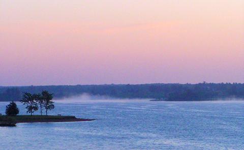
Long Branch offers abundant hunting and fishing opportunities on 2,400 acres of water and 5,000 acres of surrounding public land. Visitors are always welcome at the Corps of Engineers Visitor Center located at the east end of the dam. Camping swimming, picnicking and boating services are available in Long Branch State Park.


