Directions
From Interstate 5 (Redding), take Hwy 44 – 48 miles east to the junction of Hwy 89. Follow Hwy 89 south 1 mile to the north entrance of the park. From Interstate 5 (Red Bluff) take Hwy 36 E – 51 miles east to the junction of Hwy 89. Follow Hwy 89 north 6 miles to south entrance of the park.
Phone
(530) 595-4480
Activities
AUTO TOURING, BOATING, CAMPING, FISHING, HIKING, HORSEBACK RIDING, WILDLIFE VIEWING, PADDLING, SWIMMING, HORSE CAMPING
Camping Reservations
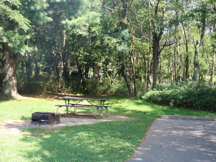
Reserve your campsite at these camping areas:
MANZANITA LAKE GROUP CAMPGROUND
Hiking Trails
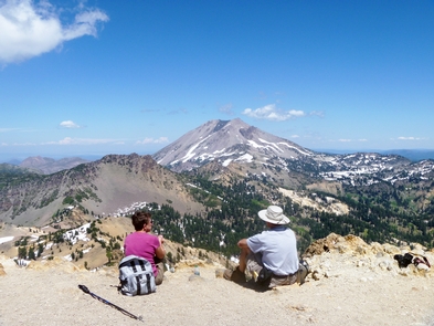
Looking for nice hiking areas to take a hike? Choose from these scenic hiking trails:
Related Link(s)
More California Recreation Areas
Lassen Volcanic National Park Official Website
Lassen Volcanic National Park Map
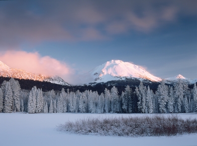
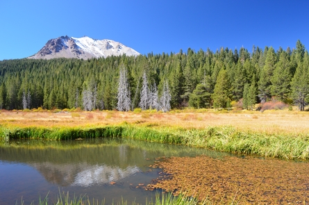
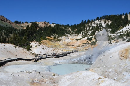
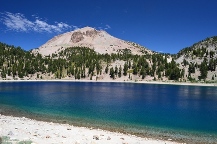
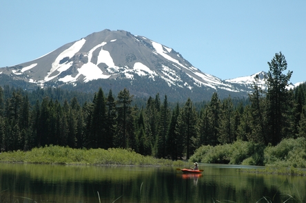
Lassen Volcanic National Park is home to steaming fumaroles, meadows freckled with wildflowers, clear mountain lakes, and numerous volcanoes. Jagged peaks tell the story of its eruptive past while hot water continues to shape the land. Lassen Volcanic offers opportunities to discover the wonder and mysteries of volcanoes and hot water for visitors willing to explore the undiscovered.

