GOOSEBERRY GROUP, UT Campground Reservation, Info, Images, Map, Directions

GOOSEBERRY GROUP, Utah Campground Images, Info & Reservations

Listen

Directions

From Fairview, Utah, travel north about a mile on Highway 89, to the junction with Highway 31. Travel east on Highway 31 for about nine miles, to the junction with Forest Development Road 124. Go north on Forest Development Road 124 for one mile to the campground.

Phone

(435)283-4151

Activities

BIKING, BOATING, CAMPING, FISHING, HIKING

Keywords

GOOS,MANTI-LASAL NF -FS

Related Link(s)

Rec Area Info & Images

Utah State Tourism

Utah State Road Conditions

Overview

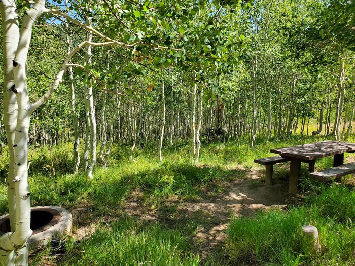
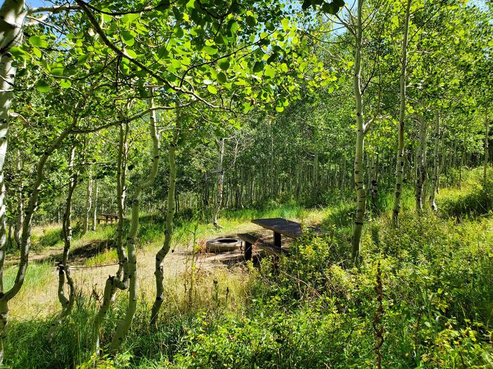
Gooseberry Group Campground is located on an aspen-covered hillside above Gooseberry Reservoir, at an elevation of 8,500 feet. Visitors enjoy fishing and canoeing on the small reservoir and exploring area trails.

Recreation

Gooseberry Reservoir, which is visible from several sites, offers good cutthroat and rainbow trout fishing, as well as canoeing. The Great Western Trail runs near the campground, offering excellent opportunities for hiking, biking and off-road vehicle riding.

Facilities

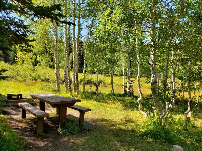
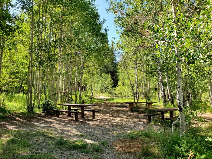
The campground offers group campsites equipped with picnic tables and fire rings. Vault toilets and drinking water are provided. Garbage collection facilities are not available, requiring visitors to pack out all trash.

A well-maintained dirt road leads to the campground, providing relatively easy access for cars and RVs alike.

Natural Features

The campground lies within a grove of aspens that is dotted with mature fir trees, in a valley high on the Wasatch Plateau. Some campsites are sunny with little tree cover, while some have ample shade. Sagebrush, grasses and summer wildflowers fill the scenic valley.

Nearby Attractions

Reservation

More from CampingHiking.net:

DALE HOLLOW DAMSITE, Tennessee Campground Images, Info & Reservations

Listen Directions From Celina, Tennessee, take Highway 53 North for 2 miles. Turn right on Dale Hollow Dam Road, then take the second right on Campground Road. Follow signs to Dale Hollow Dam Recreation Area. It is recommended that visitors do not rely soley on GPS or Mapquest to reach

ANNA CREEK CABIN, Montana Campground Images, Info & Reservations

Listen Directions Anna Creek Cabin is located 30 miles from Hungry Horse, MT on the West Side Hungry Horse Reservoir Road (895). From Hungry Horse, turn south on Road 895, cross the Hungry Horse Dam and continue 29 miles on the west side of Hungry Horse Reservoir to the cabin.

PINE REST CAMPGROUND, Oregon Campground Images, Info & Reservations

Listen Directions From Sisters, OR: Travel 9.6 miles northwest on Highway 20, then 6.1 miles north on Forest Road 14, then 1.5 miles north on Forest Road 1419. Phone 541-323-1746 Activities CAMPING Keywords Related Link(s) Rec Area Info & Images Oregon State Road Conditions Oregon State Tourism Overview Pine Rest

SKULL CREEK, Utah Campground Images, Info & Reservations

Listen Directions Located off Highway 44, just west of the junction of Highways 44 and 191 in the Flaming Gorge area, about 35 miles north of Vernal, Utah. Phone 435-784-3445 Activities BIKING, BOATING, CAMPING, FISHING, HIKING, WILDLIFE VIEWING Keywords SKUL,SKULL CREEK,FLAMING GORGE,ASHLEY NF – FS,Flaming Gorge National Recreation Area Related

PARADISE IN OREGON, Oregon Campground Images, Info & Reservations

Listen Directions From Eugene, Oregon, take I-105 east to McKenzie Highway 126 and drive 55 miles to McKenzie Bridge. The campground is located on the left side of Highway, 4 miles beyond McKenzie Bridge. Phone 801-226-3564 Activities BIKING, FISHING, HIKING, DAY USE AREA, WHITEWATER RAFTING Keywords PARO,PARADISE CAMPGROUND,WILLAMETTE NF -FS,PARADISE