ROARING RIVER PARK, TN Campground Reservation, Info, Images, Map, Directions

ROARING RIVER PARK, Tennessee Campground Images, Info & Reservations

Directions

From I-40, take HWY 53 north through Gainesboro, TN. Turn east on HWY 135 and follow signs into recreation area.

Phone

(931) 268-2540

Activities

FISHING, PICNICKING, WILDLIFE VIEWING, DAY USE AREA, SWIMMING SITE, PHOTOGRAPHY, SWIMMING, MOTOR BOAT, PADDLE BOATING, KAYAKING, WATER ACCESS

Keywords

RORN,CORDELL HULL LAKE,ROARING RIVER SHELTER,CORDELL HULL DAM

Related Link(s)

Rec Area Info & Images

Tennessee State Road Conditions

Tennessee State Tourism

Overview

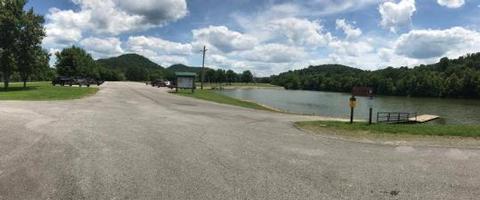
Roaring River Park is located on Cordell Hull Lake on the Cumberland River System, near Gainesboro, TN. The lake itself was named after one of America’s outstanding statesmen and one of Tennessee’s finest volunteers. Hull was born in a log cabin in the foothills of the Cumberland Mountains. Many people enjoy boating, fishing, swimming, hunting and hiking in this wonderful natural area. Click here for a virtual tour of the Cordell Hull Lake facilities.

Recreation

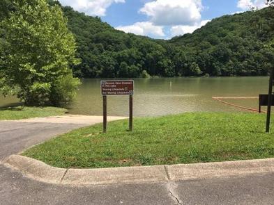
The 12,000-acre lake stretches 72 miles upstream and has 381 miles of shoreline, offering recreational activities for just about any type of visitor.

Anglers enjoy fishing for white bass, rockfish, largemouth bass, catfish, shad, and crappie. Boating, sailing, water skiing, and jet skiing are popular activities on the water.

Facilities

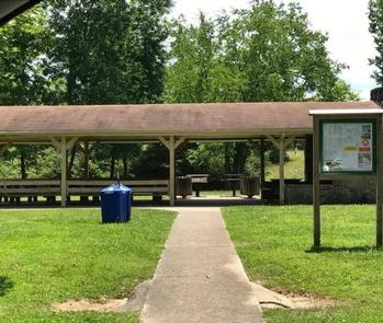
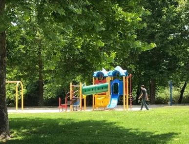
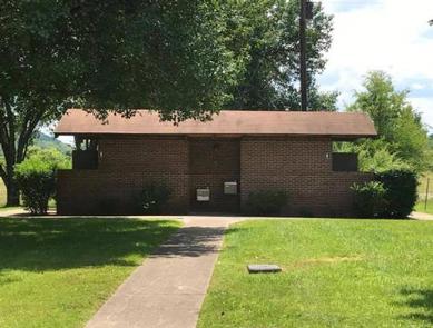
This wooded day-use area offers one large group shelter. Amenities include flush toilets, drinking water, a playground and boat ramp.

Natural Features

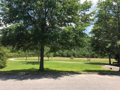
Cordell Hull Lake is situated among rolling hills wooded with a mixture of shady maple, hickory, oak, beech and chestnut trees. Summer temperatures range from the 60s to the 90s.

Wildlife is abundant around the lake. Whitetail deer, wild turkeys, quail, squirrels, rabbits, and a wide variety of waterfowl are commonly seen throughout the area.

Nearby Attractions

The historic town of Granville, TN is a 20-minute drive from the campground. Visitors enjoy celebrating the town’s Heritage Day annually in May. Events include the Uncle Jimmy Thompson Bluegrass Festival, antique car and tractor shows, and Confederate Civil War living history presentations.

Reservation

More from CampingHiking.net:

MOUNTAIN PARK, Colorado Campground Images, Info & Reservations

Directions From Fort Collins, travel west on Colorado Highway 14, to Ted’s Place, and continue up the Poudre Canyon to mile marker 98.8. Phone 970-295-6700 Activities BIKING, BOATING, CAMPING, FISHING, HIKING, WATER SPORTS, WILDLIFE VIEWING, BIRDING, RAFTING, WHITEWATER RAFTING Keywords MOUT,POUDRE RIVER,CACHE LA POUDRE RIVER,ARAPAHO AND ROOSEVELT NF – FS

BOOT LAKE CAMPGROUND, Wisconsin Campground Images, Info & Reservations

Directions From the intersection of Highway 32 and County Road T in Townsend, drive south on T 5.6 miles to the campground. Phone 715-276-6333 Activities BOATING, CAMPING, FISHING, HIKING, WINTER SPORTS, WATER SPORTS, WILDLIFE VIEWING Keywords Related Link(s) Rec Area Info & Images Wisconsin State Road Conditions Wisconsin State Tourism

MOGOLLON CAMPGROUND, Arizona Campground Images, Info & Reservations

Directions Located on Road 300 approximately 5 miles off of Highway 260. Phone 928-535-9859 Activities CAMPING, INTERPRETIVE PROGRAMS Keywords Related Link(s) Rec Area Info & Images Arizona State Road Conditions Arizona State Tourism Overview Mogollon Campground, although not directly in the Woods Canyon Recreation area, sits just outside and is

TOAD SUCK, Arkansas Campground Images, Info & Reservations

Directions From Conway, Arkansas, travel west for 7 miles on SR-60 and follow signs into the campground. Phone 501-759-2005 Activities BOATING, CAMPING, FISHING, BIRDING Keywords TOAD,TOAD SUCK FERRY LOCK AND DAM-A,TOAD SUCK FERRY Related Link(s) Rec Area Info & Images Arkansas State Road Conditions Arkansas State Tourism Overview Toad Suck

ANCHOR PASS CABIN, Alaska Campground Images, Info & Reservations

Directions The cabin is approximately 50 air miles north of Ketchikan, located on the mainland shore of Anchor Pass across from the east end of Bell Island. It is accessible by floatplane or by boat. A mooring buoy is provided at the site on a first come-first serve basis. Refer