
Directions
From Sandy, travel east on Highway 26 for approximately 40 miles to Skyline Road (Forest Road 42). Turn right on Skyline Road and continue south for 10 miles to the Clackamas Lake entrance sign. Turn left and head east less than half a mile to the campground entrance.
Phone
503-630-5721
Activities
BOATING, HISTORIC & CULTURAL SITE, CAMPING, FISHING, HIKING, WILDLIFE VIEWING, SWIMMING SITE
Keywords
CLA1,MT. HOOD NF – FS
Related Link(s)
Overview
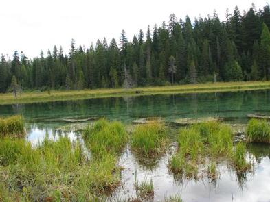
Clackamas Lake Campground is a great camping destination, especially when nearby Timothy Lake sites are full. The lake is small and shallow. The facility is located in the Clackamas Lake Historic District in Mt. Hood National Forest. It provides access to fishing, swimming and leisurely boating, as well as a number of trails and historic points along the way.
Recreation
Clackamas Lake is a great place for fishing, swimming and non-motorized boating. Anglers can expect a catch of cutthroat, brook, rainbow or German brown trout. A variety of wildlife make its home in the area as well.
Nearby Timothy Lake provides opportunities for picnicking and water-related recreation, including use of power boats.
The Clackamas Lake Ranger Station Historic District is less than a mile from the campground. It is a series of structures and cabins built to house Forest Service workers in the early 1900s. Rustic architecture and the historic nature of the buildings and the surrounding area, draws thousands of tourists each year. It is a must-see while staying at the campground.
Hiking, mountain biking and horseback riding are also popular activities. The 2.2-mile Miller Trail begins in the campground and connects to the Pacific Crest Trail, which extends more than 2,650 miles, from Canada to Mexico. Additional trails, to scenic Little Crater Lake and to the Mt. Jefferson Wilderness, are also available in the area.
Facilities
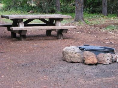
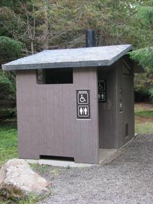
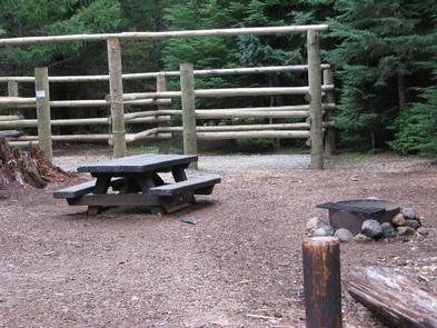
The campground offers single-family sites for tent and RV camping. There are 11 equestrian sites in the 49-site campground with corrals. Equestrian sites have 2, 3, or 4 horse corrals and are reservable only by those with horses. Some sites are available on a first-come, first-served basis.
Natural Features
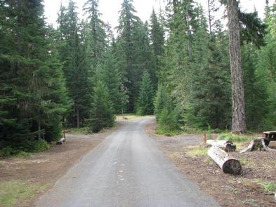
The campground is nestled in a heavily wooded forest of pine trees, with partial views of Oregon’s highest peak. A lush, green understory provides some privacy between campsites. The campground is near the shores of 3-acre Clackamas Lake, and just three miles from larger Timothy Lake. It is situated at an elevation of about 3,400 feet.
Nearby Attractions
The campground is less than 40 miles from Mt. Hood, where a historic lookout provides scenic views of the snow-capped mountain. Hiking and year-round skiing is available.