NORTH MARCUM DAY USE AREA, IL Campground Reservation, Info, Images, Map, Directions

NORTH MARCUM DAY USE AREA, Illinois Campground Images, Info & Reservations

Directions

From I-57 exit 77- go west on IL Route 154 for .25 miles. Turn left onto Gun Creek Trail. Go south 3 miles to Marcum Branch Road. Turn right on Marcum Branch Road. Go 1.5 miles to park entrance.

Phone

618-724-2493

Activities

BIKING, BOATING, HIKING, PICNICKING, WATER ACCESS

Keywords

NMAD,NORTH MARCUM BEACH,REND LAKE,NORTH MARCUM,NORTH MARCUM DAY USE,SHELTER 7,SHELTER 8,PICNIC SHELTER 7,PICNIC SHELTER 8,SHELTERS ACROSS FROM THE BEACH,BY THE WATER PLANT,BY THE RLCD OFFICE,BY THE CLOSED CAMPGROUND,SHELTERS ON MARUM BRANCH ROAD,REND LAKE

Related Link(s)

Rec Area Info & Images

Illinois State Road Conditions

Illinois State Tourism

Overview

Congratulations! You’ve just discovered Rend Lake, the perfect place to enjoy a wide variety of activities, events, and nature at its best. Even a short visit to Rend Lake will impress you with the versatility of this magnificent area. Rend Lake is made up of 20,633 acres of water and 19,523 acres of land. Wildlife in the area includes deer, tureky, fox, raccoon, opossum, waterfowl, and others as seasons change throughout the year. Whether you’re looking for high adventure, a peaceful retreat, or something in between, you’ll find it here in the heart of Southern Illinois.

Recreation

Take a leisurely morning stroll, ski or sail lake waters, spend the afternoon viewing inspiring art exhibits and end your day by the warm glow of a campfire under starry night skies. The fields, forests and waters of Rend Lake provide a natural haven for wildlife and an outdoor wonderland for you. Boat, hike, fish, hunt, swim, and explore at your leisure. If you prefer a little less nature, visit one of the resorts around the lake and delight in superb lodging and dining. Just minutes away you’ll find golf, trap and skeet, arts, antiques, museums, wineries, and more.

Facilities

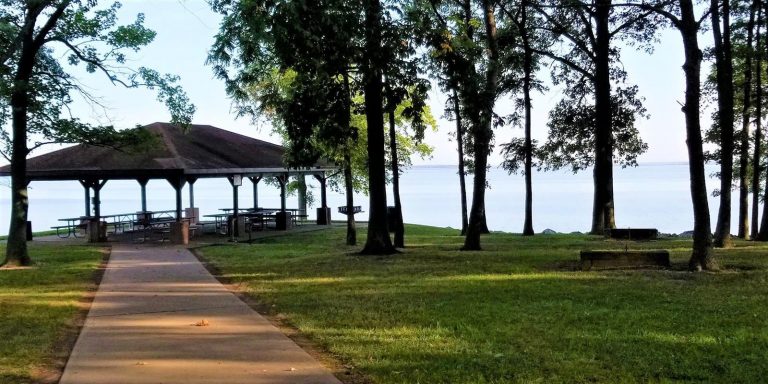
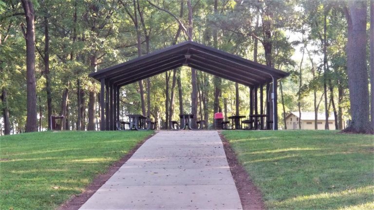
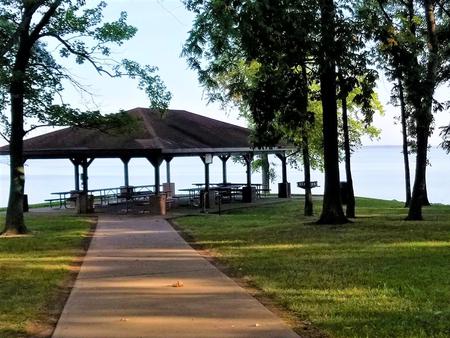
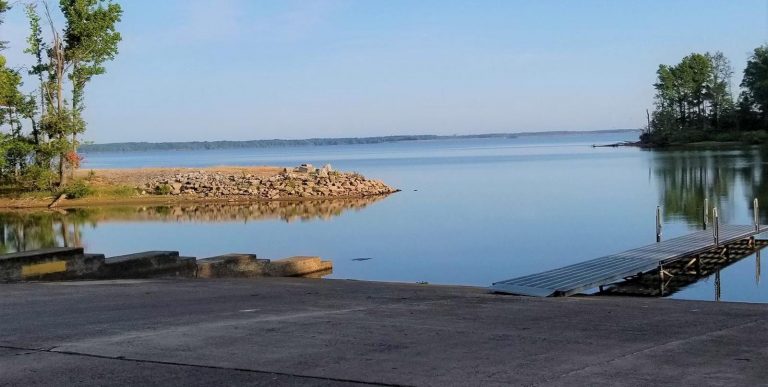
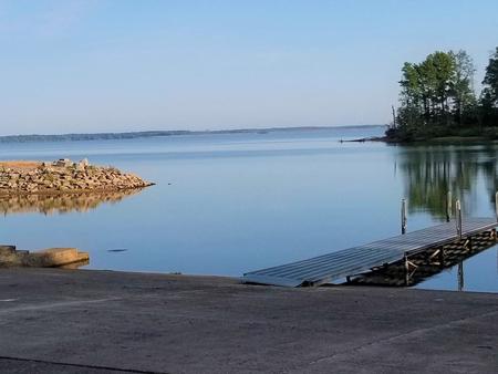
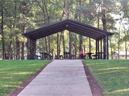
North Marcum Day Use Area features two large picnic shelters with tables, grills, and drinking water. The shelters can accommodate up to 75 guests each, and the area has a boat ramp, playground, and dock all within walking distance.

Natural Features

North Marcum Day Use Area sits along the banks of Rend Lake in the heart of Southern Illinois. Plenty of shade and a large sandy boat-in area, make this day use area desirable for a day on scenic Rend Lake.

Reservation

More from CampingHiking.net:

TWIN LAKES DAY USE AREA, Georgia Campground Images, Info & Reservations

Directions From Interstate 85, take exit 14 to Highway 187 north. Immediately after passing Clemson Research Center, turn left on Fants Grove Road and follow directional signs to the park. 189 SHELTER DRIVE, Pendleton, SC 29670 Phone 888-893-0678 HARTWELL PROJECT OFFICE Activities BOATING, FISHING, PICNICKING, DAY USE AREA, SWIMMING SITE,

OUTFLOW CAMPING, Pennsylvania Campground Images, Info & Reservations

Directions Route 281 South from points north: continue south through Confluence and over the Casselman & Youghiogheny Rivers. Make an immediate left into the campground. Route 281 North from Route 40: continue north 7 miles past the Youghiogheny River Lake entrance. Make next right into the campground. Route 523 North

GROVE, Kentucky Campground Images, Info & Reservations

Directions From Corbin, Kentucky, take Exit 25 from I-75, then take U.S. 25W west for 5 miles. Turn right on Kentucky 1193 and drive 2 miles. Turn right on Forest Road 558 and go 3 miles to the campground. Phone 606-528-6156 Activities BOATING, CAMPING, FISHING, HIKING Keywords GROV,LAUREL LAKE,LAUREL RIVER

SINKHOLE CAMPGROUND, Arizona Campground Images, Info & Reservations

Directions Located on Willow Springs Lake Road approximately 1/2 mile off of Highway 260. Phone 928-535-9859 Activities CAMPING Keywords Related Link(s) Rec Area Info & Images Arizona State Road Conditions Arizona State Tourism Overview Located in the ponderosa pine forest, this campground is within walking distance of Willow Springs Lake

BASIN MONTANA CAMPGROUND, Montana Campground Images, Info & Reservations

Directions From US Hwy 212 (Beartooth Scenic Byway), travel to the south end of Red Lodge, MT. Turn west on West Fork Rock Creek Road (Forest Road 2071), and proceed approximately 7 miles to the campground entrance on the right. Phone 406-587-9054 Activities BIKING, FISHING, HIKING Keywords BASIN MONTANA CAMPGROUND,BASM,CUSTER