LOGGERS LAKE CAMPGROUND, MO Campground Reservation, Info, Images, Map, Directions

LOGGERS LAKE CAMPGROUND, Missouri Campground Images, Info & Reservations

Listen

Directions

From the junction of MO A Hwy and Hwy 72, go 1/4 mile west on A Hwy to Dent Co Rd 565 (Lincoln Ave). Go south on 565, 6 miles to FR 2193. Turn left on 2193 for 1 mile to Logger’s Lake.

Phone

573-729-6656

Activities

BOATING, HISTORIC & CULTURAL SITE, CAMPING, FISHING, HIKING, WILDLIFE VIEWING, OTHER RECREATION CONCESSION SITE

Keywords

Related Link(s)

Rec Area Info & Images

Missouri State Road Conditions

Missouri State Tourism

Overview

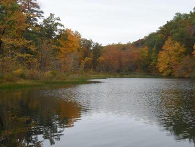
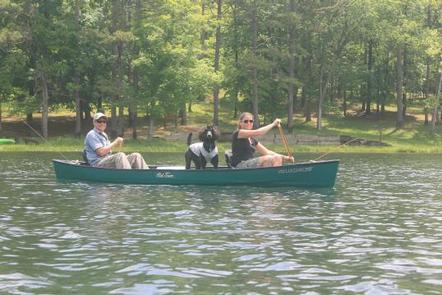
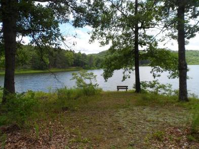
Located deep in the interior forests of Shannon County, Logger’s Lake Campground is situated along the southeast shore of Logger’s Lake. Constructed in 1942, this spring-fed lake is maintained as a fishery and is a destination for anglers looking for non-motorized boating and quiet bank fishing.

Recreation

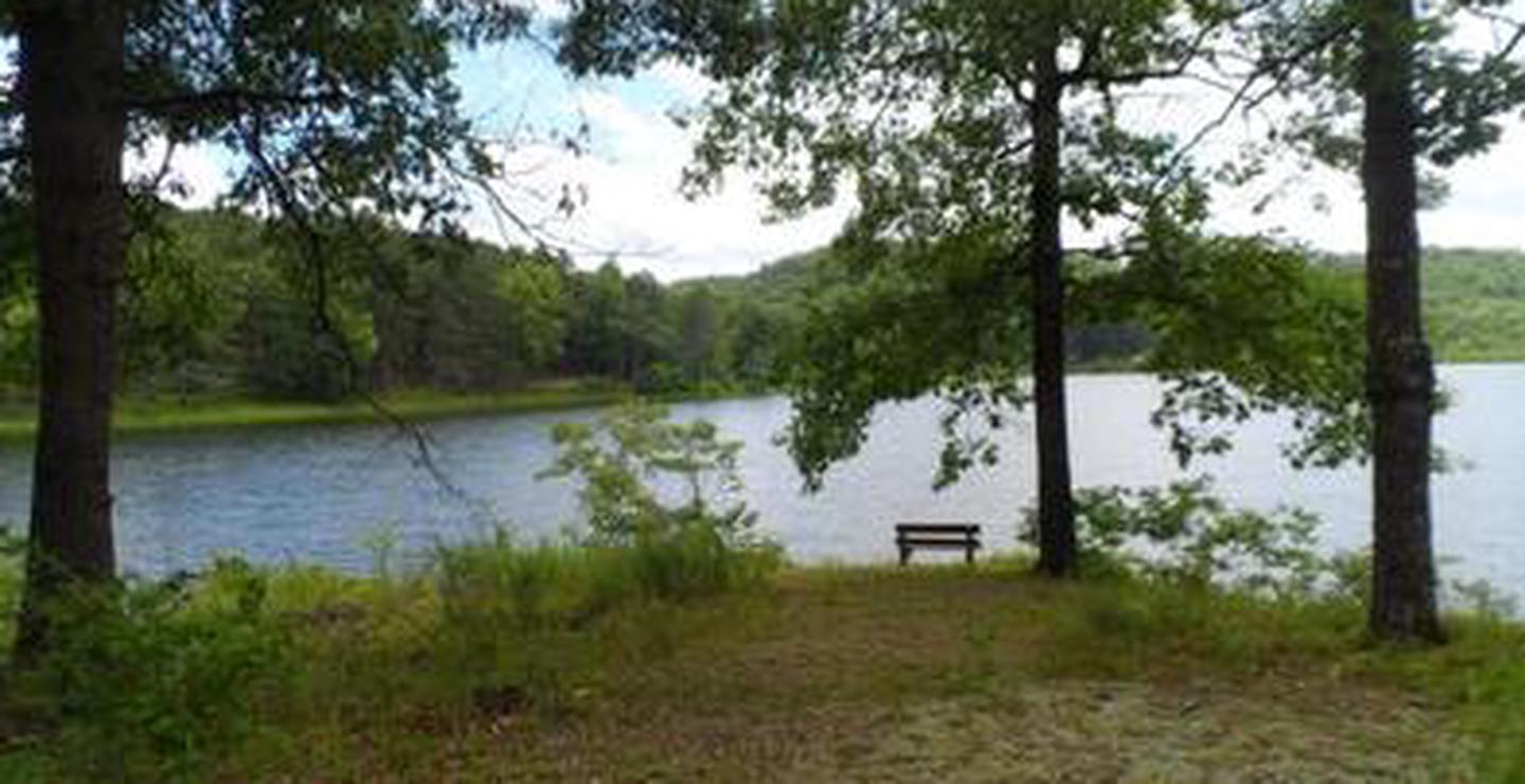
Logger’s Lake offers good fishing for large-mouth bass, sunfish and channel catfish. The Day Use area has a small swim beach, boat ramp, picnic tables, and grills.

Facilities

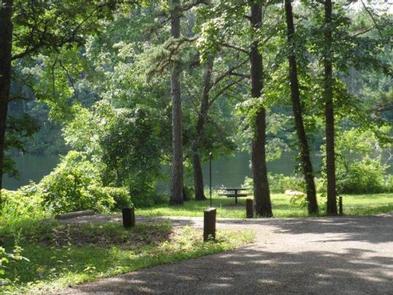
The campground area is located on the southeast lakeshore and all sites have a view of the lake, with only light vegetation in between. There are 14 sites with each site offering a table, fire ring, tent pad, and some offer lantern posts. Drinking water and vault toilets are centrally located. There are two boat ramps, and a barrier-free fishing pier. Group camping is available at Oak Knoll.

Natural Features

The campground is located on 22-acre, spring-fed Logger’s Lake. A variety of colorful vegetation, clear creeks and springs provide a picturesque setting.

Reservation

More from CampingHiking.net:

MANZANITA LAKE CABIN, Alaska Campground Images, Info & Reservations

Listen Directions The cabin is located approximately 28 miles northeast of Ketchikan on Revillagigedo Island on the northwest arm of Manzanita Lake and is accessible by float plane or canoe. In fall, winter, and early spring, the cabin may be inaccessible due to frozen lake surface (float planes cannot land).

JOHNSON CREEK DAY USE, Texas Campground Images, Info & Reservations

Listen Directions From Jefferson, Texas, travel 3.8 miles northwest on Highway 49. Turn left onto FM 729 and continue for just over 8.5 miles. Park entrance will be on the left. Phone 903-665-2336 Activities BOATING, FISHING, PICNICKING, WATER SPORTS, WILDLIFE VIEWING, DAY USE AREA, SWIMMING Keywords None Related Link(s) Rec

MOUNT FLEMER CABIN, Alaska Campground Images, Info & Reservations

Listen Directions The cabin is located on the south shore of the Stikine River within the Stikine-LeConte Wilderness. It is two miles downriver from the border between the United States and Canada. Distance from Wrangell is 32 miles by shallow draft boat. Low river levels can affect access; consult local

Rim Campground, Arizona Campground Images, Info & Reservations

Listen Directions Located on Road 300 approximately 1 mile off of High 260. Phone 928-535-9859 Activities BOATING, CAMPING Keywords Related Link(s) Rec Area Info & Images Arizona State Road Conditions Arizona State Tourism Overview Rim Campground is situated close to the edge of the Mogollon Rim. Spectacular 100-mile views are

Little Naches Campground, Washington Campground Images, Info & Reservations

Listen Directions From Naches, take Highway 410 northwest 30 miles to Forest Road 107. Turn onto 107 and follow to the campground. Phone 541-338-7869 Activities BIKING, CAMPING, FISHING, HIKING, WATER SPORTS Keywords LILN,NACHES,OKANOGAN – WENATCHEE NF -FS,LITTLE NACHES,LITTLE NACHES CAMPGROUND,NATCHES Related Link(s) Rec Area Info & Images Washington State Tourism